Bridgton,
then and now
Postcards, papers and photographs of Bridgton from public archives, woven together by decade. Neighbors fill in the gaps.
The story
from WikipediaRead it all ↗The undeveloped land was first called Pondicherry. It was granted in 1768 by the Massachusetts General Court to Moody Bridges and a group of proprietors. Settlement began in 1770 at what is now North Bridgton, where a tavern was built. The community was organized in 1779 as Bridgetown Plantation, named after Moody Bridges, and then incorporated on February 7, 1794, as Bridgton.
Text from Wikipedia, licensed CC BY-SA 4.0.
Timeline
built from the dates on the items belowFinish Bridgton’s story
Most archives stop around 1920. The photos from after that are in family albums, not libraries.
0 of 10 decades since 1900 have photos 🔁Retake an old viewCumberland Mills [?], Cumberland …, c. 1869: stand where they stood+15 📦Share a family photoSign in to add one+10Bridgton, decade by decade
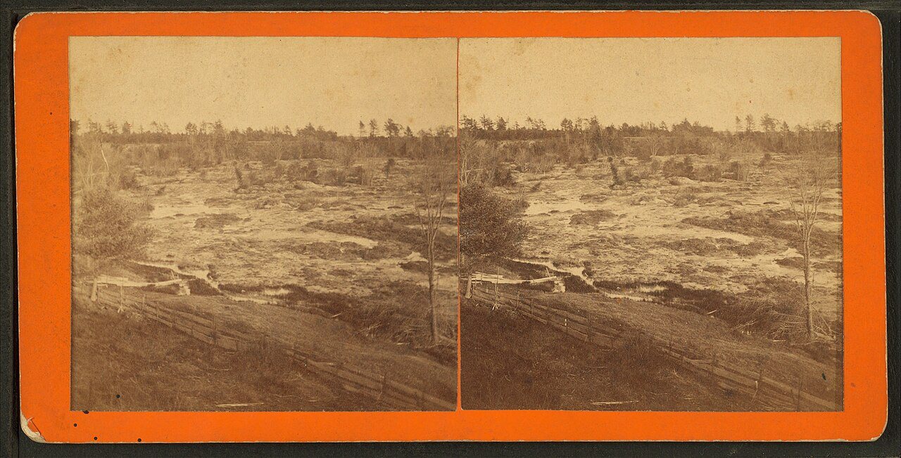
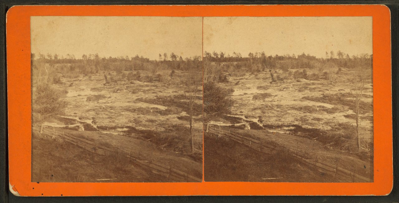
![Cumberland Mills [?], Cumberland Co., Maine](https://images.towntapestry.org/story/23387/b21c089407de38d1d992-s.jpg) CommonsCumberland Mills [?], Cumberland Co., Mainec. 1869
CommonsCumberland Mills [?], Cumberland Co., Mainec. 1869![Cumberland Mills [?], Cumberland Co., Maine](https://images.towntapestry.org/story/23387/39da524b64353ebe5c4d-s.jpg) CommonsCumberland Mills [?], Cumberland Co., Mainec. 1869
CommonsCumberland Mills [?], Cumberland Co., Mainec. 1869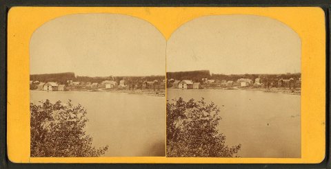 CommonsNorth Bridgton, Mec. 1869
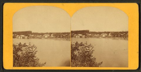 CommonsNorth Bridgton, Mec. 1869
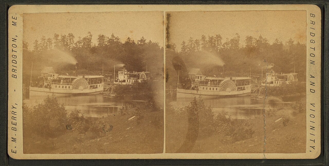
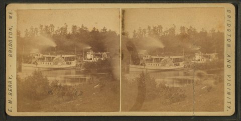 CommonsSteamboat.Alternate Title: Bridgton and vicinityc. 1869
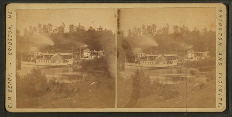 CommonsSteamboat.Alternate Title: Bridgton and vicinityc. 1869
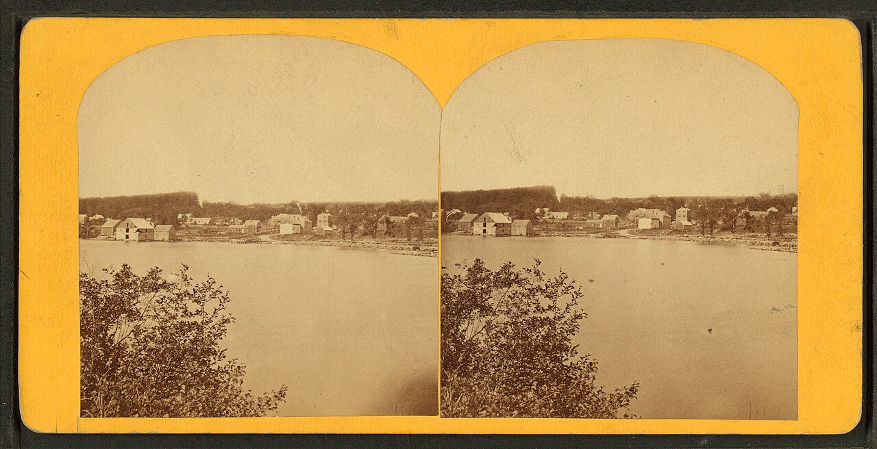
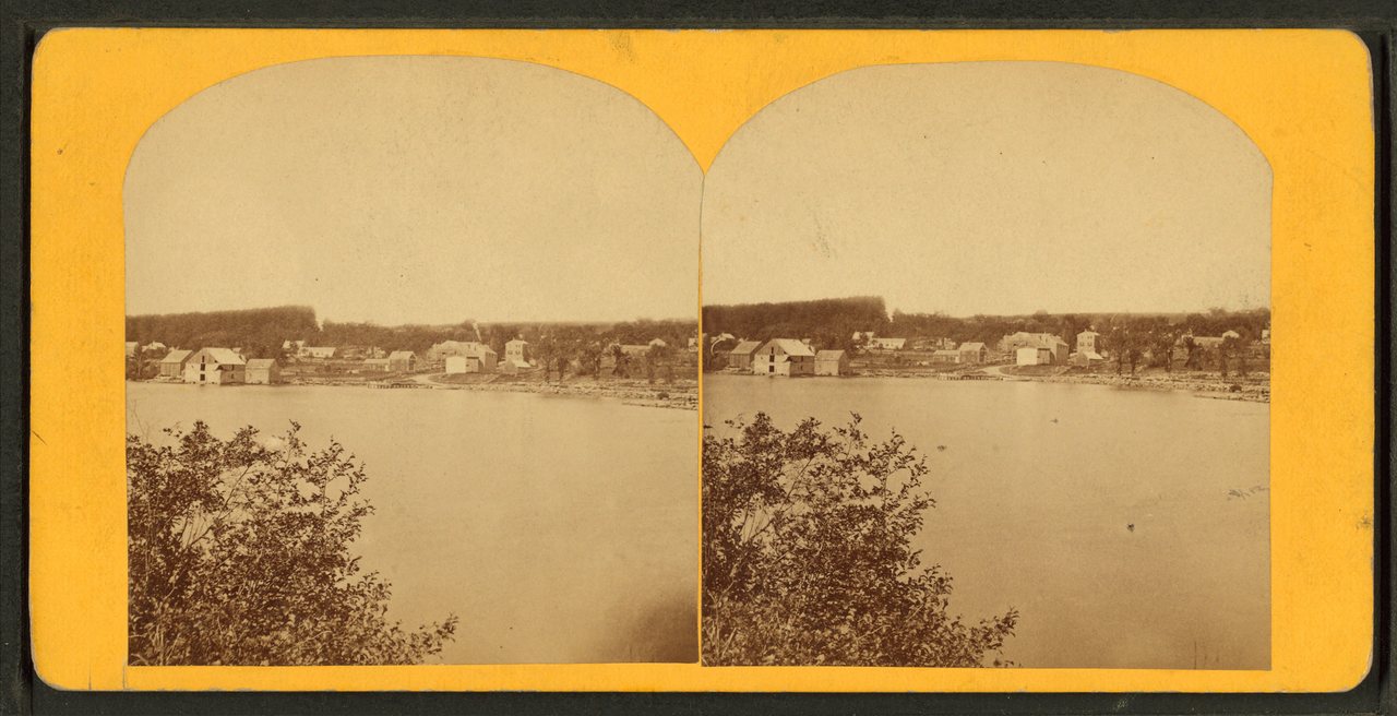
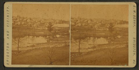 CommonsViews of Bridgton.Alternate Title: Bridgton and vicinityc. 1869
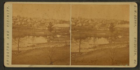 CommonsViews of Bridgton.Alternate Title: Bridgton and vicinityc. 1869
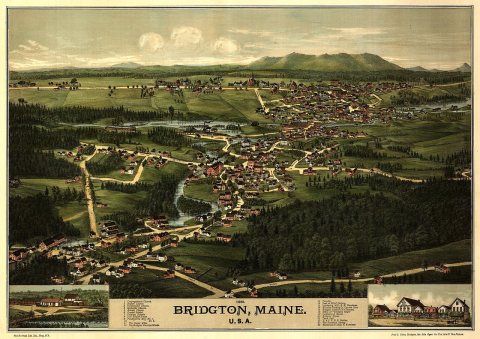
1990s
Then & now
No then-and-now pairs yet. Take a photo from the same spot as Views of Bridgton.Alternate Title: Bridgton and vicinity (c. 1869) and it appears here side by side.
🔁 Retake this view · +15Historic places
National Register · via Wikidata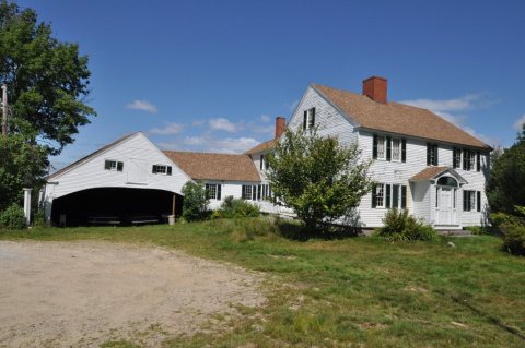
From Wikimedia Commons (10) and the National Register (2). Images are copied here with their credits and licenses, shown on each photo’s page. Refreshed monthly.