Bowdoinham’s history is
mostly unwritten
The public archives hold only 3 old photos of Bowdoinham. The rest are in attics, shoeboxes and the historical society. Help start the collection.
The story
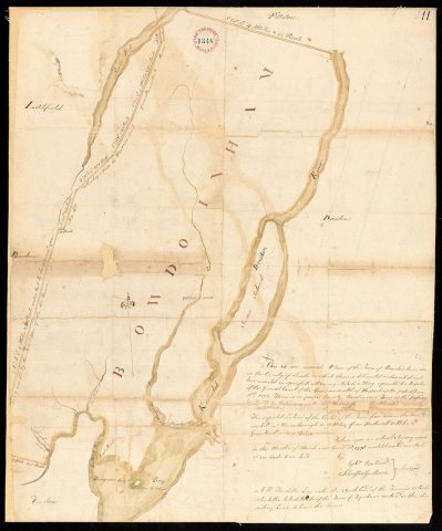
from WikipediaRead it all ↗Fort Richmond was built upriver in 1719, protecting the area and encouraging British settlement. About 1720, the mouth of the Cathance River was first settled by Captain Gyles Watkins. But during Dummer's War, in the summer of 1723, all buildings in the region were burned and cattle killed by the Norridgewocks and their estimated 250 Indian allies from New France. The Kennebec River region was abandoned. When Governor William Dummer's Treaty of 1725 brought peace, it was resettled about 1730 by Abraham and Jonas Preble from York. Litigation from two conflicting claims, however, slowed the town's development. On July 3, 1637, Sir Ferdinando Gorges, the lord proprietor of Maine, had granted this part of New Somersetshire to Sir Richard Edgcumbe of Mount Edgcumbe House, situated at Cremyll in Cornwall, England. But the Kennebec Company conveyed it in 1752 to William Bowdoin of Boston, olde…
Text from Wikipedia, licensed CC BY-SA 4.0.
Timeline
built from the dates on the items belowStart Bowdoinham’s collection
The first neighbors to add old photos shape how Bowdoinham’s history is told.
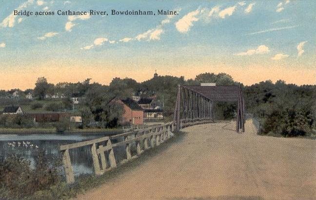
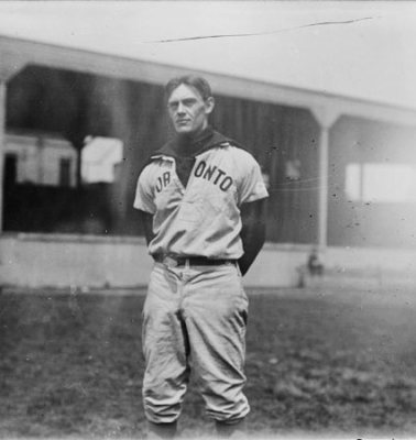
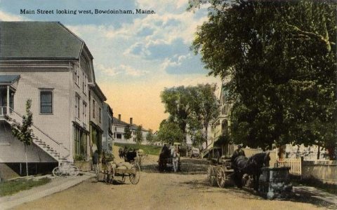
1 of 10 decades since 1900 have photos 🔁Retake an old viewBridge Across Cathance River, c. 1912: stand where they stood+15 📦Share a family photoSign in to add one+10Famous people from Bowdoinham
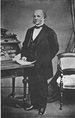
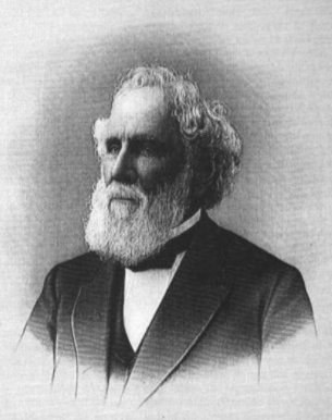
See all 13 →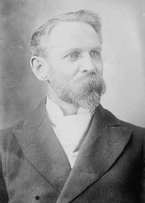
Bowdoinham, decade by decade
1990s

Then & now
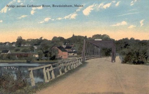
No then-and-now pairs yet. Take a photo from the same spot as Bridge Across Cathance River (c. 1912) and it appears here side by side.
🔁 Retake this view · +15Historic places
National Register · via Wikidata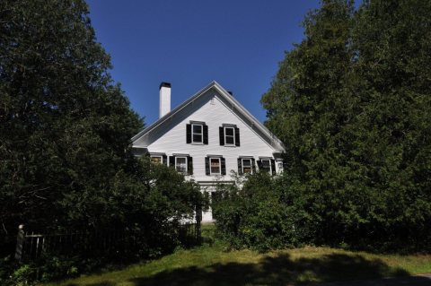
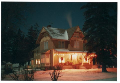
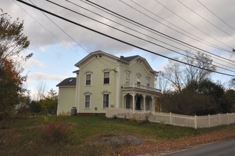
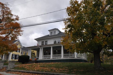
From Wikimedia Commons (8) and the National Register (4). Images are copied here with their credits and licenses, shown on each photo’s page. Refreshed monthly.