A history of Travilah,
then and now
Postcards, papers and photographs of Travilah from public archives, woven together by decade. Neighbors fill in the gaps.
The story
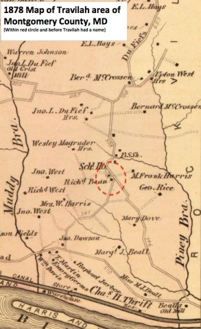
from WikipediaRead it all ↗The Travilah community has a long history that dates back to the 1800s at a crossroads at what is now Travilah Road and Glen Road. A small unnamed agricultural community grew at this intersection in the mid-1800s because it was less than 2 miles (3.2 km) from the Chesapeake and Ohio Canal (a.k.a. C&O Canal). The intersecting roads also led to mills that were located within a few miles of the intersection, and many of the area farms produced the wheat used by the mills to make flour.
Text from Wikipedia, licensed CC BY-SA 4.0.
Timeline
built from the dates on the items belowFinish Travilah’s story
Most archives stop around 1920. The photos from after that are in family albums, not libraries.
1 of 10 decades since 1900 have photos 🔁Retake an old viewLock 22 1865 Selby, 1865: stand where they stood+15 📦Share a family photoSign in to add one+10Travilah, decade by decade
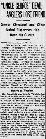
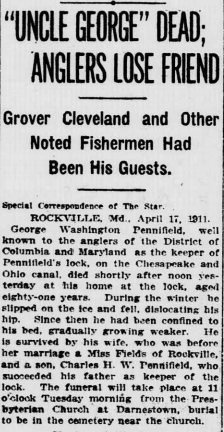
1990s
Then & now
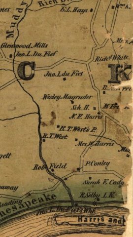
No then-and-now pairs yet. Take a photo from the same spot as Lock 22 1865 Selby (1865) and it appears here side by side.
🔁 Retake this view · +15Stories next door
nearby towns’ historyFrom Wikimedia Commons (6). Images are copied here with their credits and licenses, shown on each photo’s page. Refreshed monthly.