North Laurel’s history is
mostly unwritten
The public archives hold only 3 old photos of North Laurel. The rest are in attics, shoeboxes and the historical society. Help start the collection.
The story
from WikipediaRead it all ↗The edge of the Arundel Formation underlies the North Laurel area. The astrodon, a herbivorous sauropod, was present about 112 million years ago. Prior to 10,700 B.C. North Laurel was a spruce forest evolving into a boreal forest occupied by mammals ranging from mastodon to sloth. By 3000 B.C. the vegetation was similar to modern plant life.
Native Americans lived along the Patuxent River since at least 6500 B.C. By the time of European contact, the lands in the region were occupied by various tribes of Algonquin speaking Native Americans.
Text from Wikipedia, licensed CC BY-SA 4.0.
Timeline
built from the dates on the items belowStart North Laurel’s collection
The first neighbors to add old photos shape how North Laurel’s history is told.
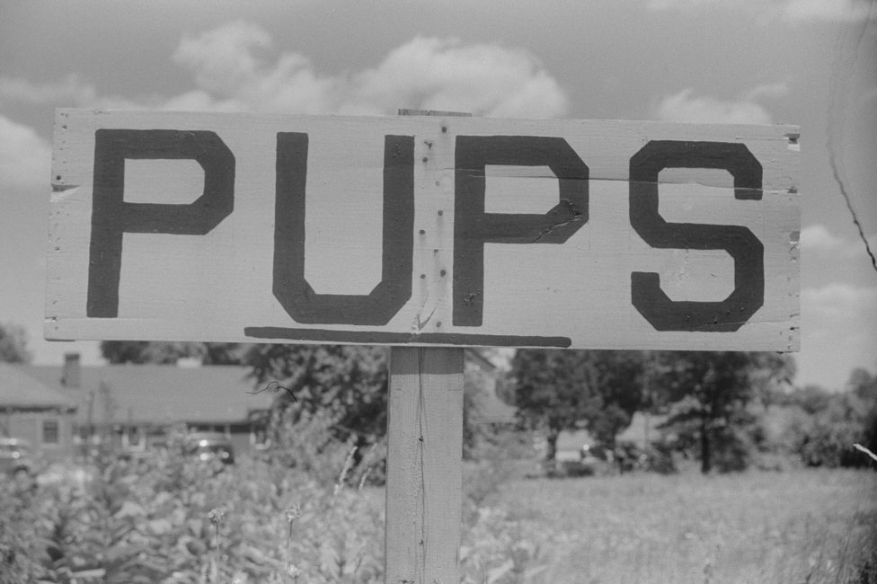
2 of 10 decades since 1900 have photos 🔁Retake an old viewSign along U.S. 1 a few miles nor…, 1940: stand where they stood+15 📦Share a family photoSign in to add one+10Famous people close to North Laurel
See all 23 →




North Laurel, decade by decade
![[Untitled photo]](https://images.towntapestry.org/story/40429/b82182220e21b9e2aa08-s.jpg)
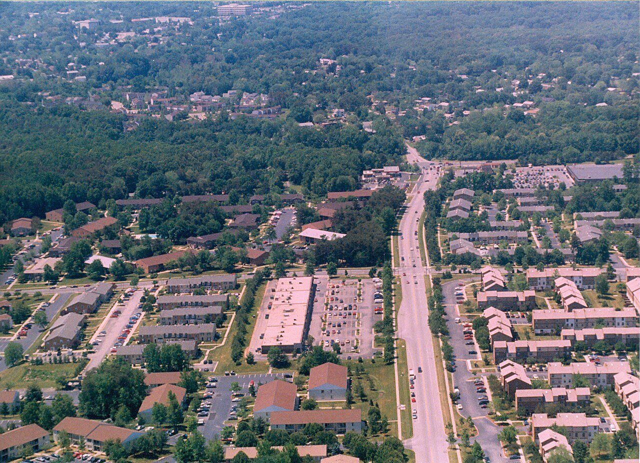
1980s
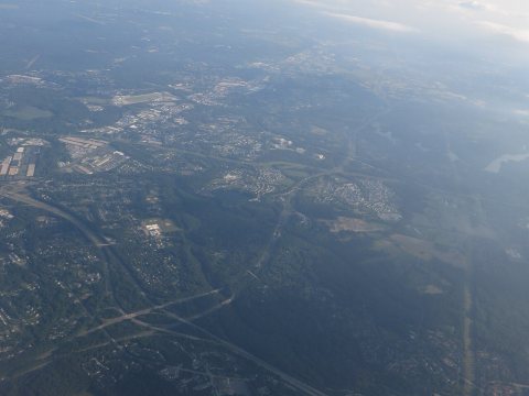
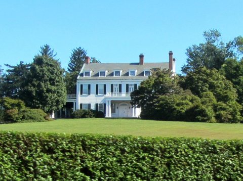
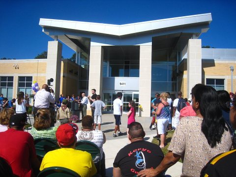
Nothing in North Laurel is on the National Register yet
That’s true of most small towns. It doesn’t mean North Laurel has no history, only that no one has written up a nomination. The closest listed place is Laurel High School in Laurel, 1.5 miles away.
North Laurel and the nearest listed places


How a place gets listed
Then & now
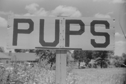
No then-and-now pairs yet. Take a photo from the same spot as Sign along U.S. 1 a few miles north of Laurel, Maryland (1940) and it appears here side by side.
🔁 Retake this view · +15Stories next door
nearby towns’ historyFrom Wikimedia Commons (6). Images are copied here with their credits and licenses, shown on each photo’s page. Refreshed monthly.