The story
from WikipediaRead it all ↗A land patent for Lay Hill was issued on August 17, 1716. The size was recorded as 1,298 acres (2.0 sq mi; 5.3 km2). The Northwest Branch ran through the tract, and the Norwood Turnpike passed its entire length. As of 1879, several farms, including those of Abraham Van Horn and A.J. Cashell, were located there.
Text from Wikipedia, licensed CC BY-SA 4.0.
Start Layhill’s collection
The first neighbors to add old photos shape how Layhill’s history is told.
0 of 10 decades since 1900 have photos 📦Share a family photoSign in to add one+10Famous people from Layhill
See all 1 →Layhill, decade by decade
2000
Nothing in Layhill is on the National Register yet
That’s true of most small towns. It doesn’t mean Layhill has no history, only that no one has written up a nomination. The closest listed place is Milimar in Colesville, 1.9 miles away.
Layhill and the nearest listed places
How a place gets listed
Then & now
When neighbors add old photos, retakes from the same spot appear here side by side.
Stories next door
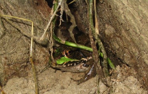
nearby towns’ historyFrom Wikimedia Commons (1). Images are copied here with their credits and licenses, shown on each photo’s page. Refreshed monthly.