Grasonville’s history is
mostly unwritten
The public archives hold just one old photo of Grasonville. The rest are in attics, shoeboxes and the historical society. Help start the collection.
The story so far
from Wikipedia & the U.S. CensusGrasonville is a census-designated place (CDP) in Queen Anne's County, Maryland, United States. The population was 2,193 at the 2000 census.
Its population held steady between the last two censuses: 3,425 people in 2010, 3,474 in 2020. Half of its homes were built before 1998.
Wikipedia doesn’t have a history of Grasonville yet — the old photos, dates and memories neighbors add here are how it gets written.
Intro from Wikipedia, licensed CC BY-SA 4.0. Population and housing: U.S. Census Bureau.
Timeline
built from the dates on the items belowStart Grasonville’s collection
The first neighbors to add old photos shape how Grasonville’s history is told.
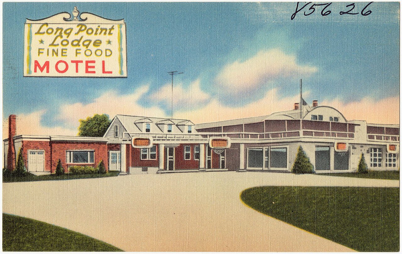
1 of 10 decades since 1900 have photos 🔁Retake an old viewLong Point Lodge, U. S. Highway 5…, c. 1930: stand where they stood+15 📦Share a family photoSign in to add one+10Famous people close to Grasonville
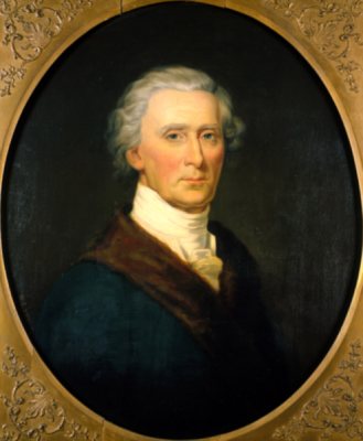
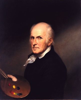
See all 29 →



Grasonville, decade by decade
1990s
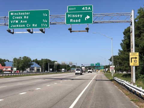
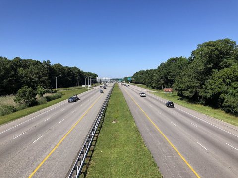
![American photographer Carol M. Highsmith had big shoes to fill outside some stores in [Grasonville], on the mostly rura…](https://images.towntapestry.org/story/40408/f9386389026f7799988e-s.jpg)
Nothing in Grasonville is on the National Register yet
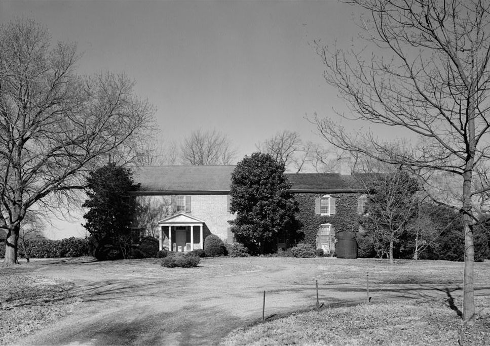
That’s true of most small towns. It doesn’t mean Grasonville has no history, only that no one has written up a nomination. The closest listed place is Bowlingly in Queenstown, 3.3 miles away.
Grasonville and the nearest listed places


How a place gets listed
Then & now
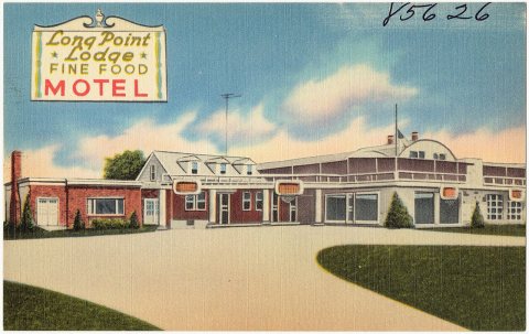
No then-and-now pairs yet. Take a photo from the same spot as Long Point Lodge, U. S. Highway 50, 6 miles north of Bay Bridge (85626) (c. 1930) and it appears here side by side.
🔁 Retake this view · +15Stories next door
nearby towns’ historyFrom Wikimedia Commons (5) and the Library of Congress (1). Images are copied here with their credits and licenses, shown on each photo’s page. Refreshed monthly.