The story
from WikipediaRead it all ↗In the 1700s, a water mill was built at the easternmost corner of Four Corners, where today's Colesville Road passes over the Northwest Branch of the Anacostia River and becomes Columbia Pike. The mill building burned down in 1788, hence the name Burnt Mills. Rebuilt in the late 1700s or early 1800s, ownership of the mill changed hands several times in the 19th century before closing down in the early years of the 20th century. The land was then donated to the Boy Scouts of America, who established a camp named for President Woodrow Wilson. In the early 1920s, the Boy Scouts donated part of the land to the Washington Suburban Sanitary Commission, and a temporary water filtration plant was erected at the site. Work on a new plant was completed in 1936, and the plant was named for the Washington Suburban Sanitary Commission's chief engineer, Robert B. Morse Filtration Plant. The dam and t…
Text from Wikipedia, licensed CC BY-SA 4.0.
Start Four Corners’s collection
The first neighbors to add old photos shape how Four Corners’s history is told.
0 of 10 decades since 1900 have photos 📦Share a family photoSign in to add one+10Famous people close to Four Corners
See all 19 →





Four Corners, decade by decade
2000
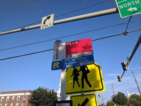 CommonsBus stop on University Boulevard in Four Corners 052019
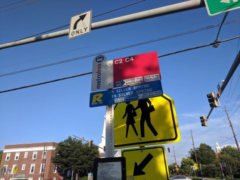 CommonsBus stop on University Boulevard in Four Corners 042019
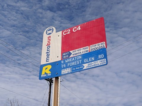 CommonsBus stop on University Boulevard in Four Corners 032019
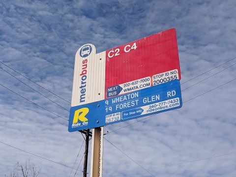 CommonsBus stop on University Boulevard in Four Corners 022019
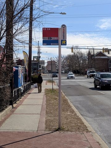 CommonsBus stop on University Boulevard in Four Corners 012019
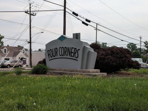 CommonsFour Corners Maryland sign 022018
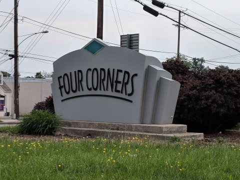 CommonsFour Corners Maryland sign 012018
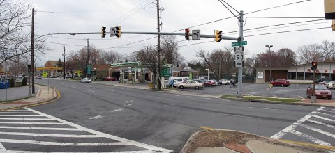 Commons2008 03 19 - 193@4Corners - W Turnaround - SE2008
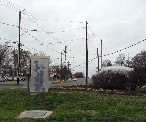 Commons2008 03 19 - 193@4Corners - W Turnaround - SD to R2008
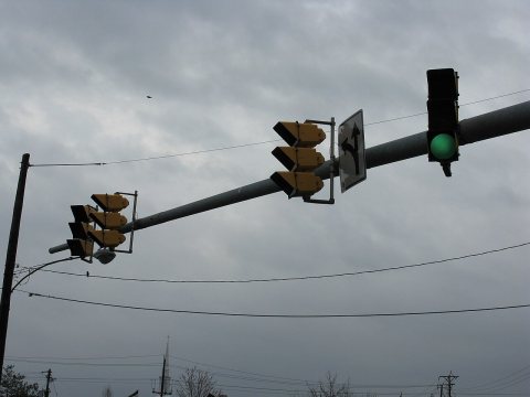 Commons2008 03 19 - 193@4Corners - W Turnaround - EB sig2008
Then & now
When neighbors add old photos, retakes from the same spot appear here side by side.
Stories next door
nearby towns’ historyFrom Wikimedia Commons (10). Images are copied here with their credits and licenses, shown on each photo’s page. Refreshed monthly.