The story
from WikipediaRead it all ↗District Heights was originally farmland owned by Major Leander P. Williams, purchased as four patented Lord Baltimore tracts known as: "Good Luck," "Magruder's Plains Enlarged," "the Levels," and "Offutt's Adventure." Under grants issued to Lord Baltimore by King Charles I of Great Britain, the tracts belonged to Colonel Ninian Beall, Benjamin Berry, and Alexander Magruder. District Heights evolved from one of the four patents. In 1925, 505-acres of the Williams farm was purchased and formed into the District Heights Company by Joseph Tepper, David L. Blanken, Henry Oxenberg, Gilbert Leventhal, Simon Gordon, and Simon Gerber. The land was farmed by Walter and Al Dustin, whose farmhouse stood at 7116 Foster Street. By 1925, streets laid out first three blocks of Halleck Street and Aztec. By 1926, the city had approximately 25 homes built, two businesses, a grocery store and filling stat…
Text from Wikipedia, licensed CC BY-SA 4.0.
Timeline
built from the dates on the items belowStart District Heights’s collection
The first neighbors to add old photos shape how District Heights’s history is told.
1 of 10 decades since 1900 have photos 🔁Retake an old viewHrcraad, 1998: stand where they stood+15 📦Share a family photoSign in to add one+10Famous people from District Heights
See all 5 →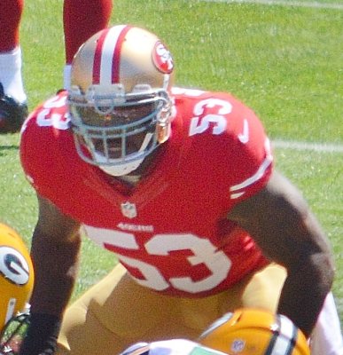
District Heights, decade by decade

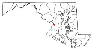
Nothing in District Heights is on the National Register yet
That’s true of most small towns. It doesn’t mean District Heights has no history, only that no one has written up a nomination. The closest listed place is Concord in Walker Mill, 1.7 miles away.
District Heights and the nearest listed places
Closest to District Heights
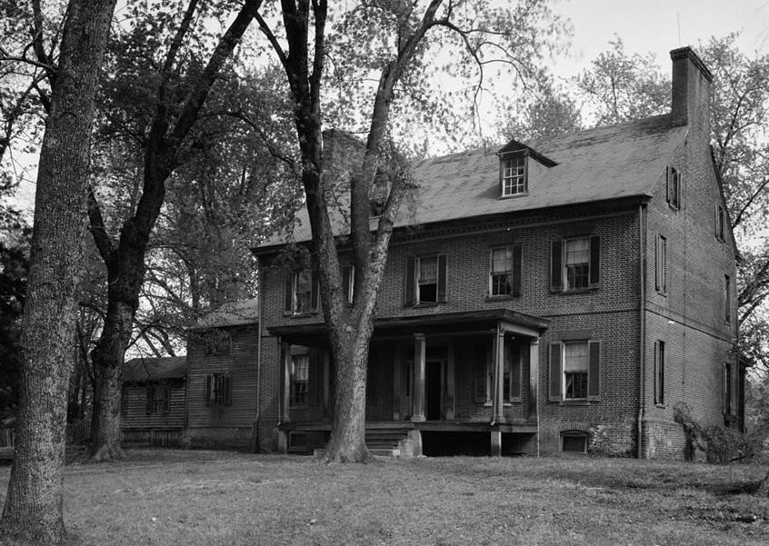 ConcordWalker Mill · Built 17971.7miSoutheast No. 1 Boundary Marker of the Original District of ColumbiaWashington · Object2.5mi
 Ridgeley SchoolSummerfield · Built 19272.6miEast Corner Boundary Marker of the Original District of ColumbiaWashington · Object2.6miSoutheast No. 2 Boundary Marker of the Original District of ColumbiaWashington · Object2.7mi
How a place gets listed
Then & now
When neighbors add old photos, retakes from the same spot appear here side by side.
Stories next door
nearby towns’ historyFrom Wikimedia Commons (2). Images are copied here with their credits and licenses, shown on each photo’s page. Refreshed monthly.