Crisfield

What’s happening
Weather
Forecast →Upcoming events
Put the next local happening — a market, a meeting, a concert — on the map.
Local news
Headlines via Google News · Articles belong to their publishers.
The Crisfield album
Outdoors in Crisfield
Parks & trails →Know a trail or park that’s missing? Anyone can add it to OpenStreetMap, and it shows up here on the next refresh.
Trails & parks © OpenStreetMap contributors · Conserved land: USGS PAD-US
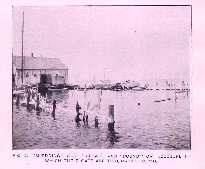 1920
1920
FMIB 35013 Shedding House, floats, and pound, or incllosure in which the floats are tied, 1920
Photo · Wikimedia Commons
Landmark of the day
All 7 historic places →
Nelson Homestead
Nelson Homestead, also known as the Elisha Riggin House, is a historic home located at Crisfield, Somerset County, Maryland.
About Crisfield
City in Maryland, United StatesCrisfield is a city in Somerset County, Maryland, United States, located on the Tangier Sound, an arm of the Chesapeake Bay. The population was 2,515 at the 2020 census. It is included in the Salisbury, Maryland-Delaware Metropolitan Statistical Area. Crisfield has the distinction of being the southernmost incorporated city in Maryland. The site of today's Crisfield was initially a small fishing village called Annemessex Neck. During European colonization, it was renamed Somers Cove, after Benjamin Summers. When the business potential for seafood was discovered, John W. Crisfield decided to bring the Pennsylvania Railroad to Crisfield, and the quiet fishing town grew. Crisfield is now known…
From Wikipedia, licensed CC BY-SA 4.0 · facts via Wikidata (CC0)
Town numbers
Housing in Crisfield
The typical Crisfield home is worth about $170,000, up 1.9% in a year, 60% below the Maryland typical home.
Safety in Crisfield
Not graded
A grade needs all of the FBI's latest years (2023–2025). Crisfield's police department reported only 2024 and 2025, so we don't grade it yet. The figures below are still real.
Work & commute in Crisfield
Full picture →Most working residents leave Crisfield for work: only 19% work in town. The top destinations are Salisbury (15%), Princess Anne (5%) and Baltimore (4%). Half commute less than 29 miles.
Health in Crisfield
Health Grade C−
Healthier than 21% of U.S. towns on seven CDC estimates, and 49% of towns with similar incomes.
Compared with Maryland
of 32 measures CDC estimates. The other 12 are too close to call.
What stands out
Care nearby
Natural hazards in Crisfield
Expected storm and flood damage is higher than in 99% of U.S. communities.
Climate in Crisfield
Full climate →Crisfield has mild winters and warm summers. A typical July afternoon reaches 88°, a January night drops to 30°, and about 8 inches of snow falls in a normal winter.
Schools in Crisfield
All Crisfield schools →School Grade C-
The public schools Crisfield’s kids attend, from kindergarten through graduation, trail 84% of Maryland’s districts on state tests and graduation. Among towns with similar incomes, they rank near the bottom.
School data from the U.S. Department of Education (NCES, EDFacts). The School Grade is our own summary of state test results and graduation rates, graded within MD. Ratings are from neighbors.
Crisfield’s library
Library details →Where Crisfield is
Explore map →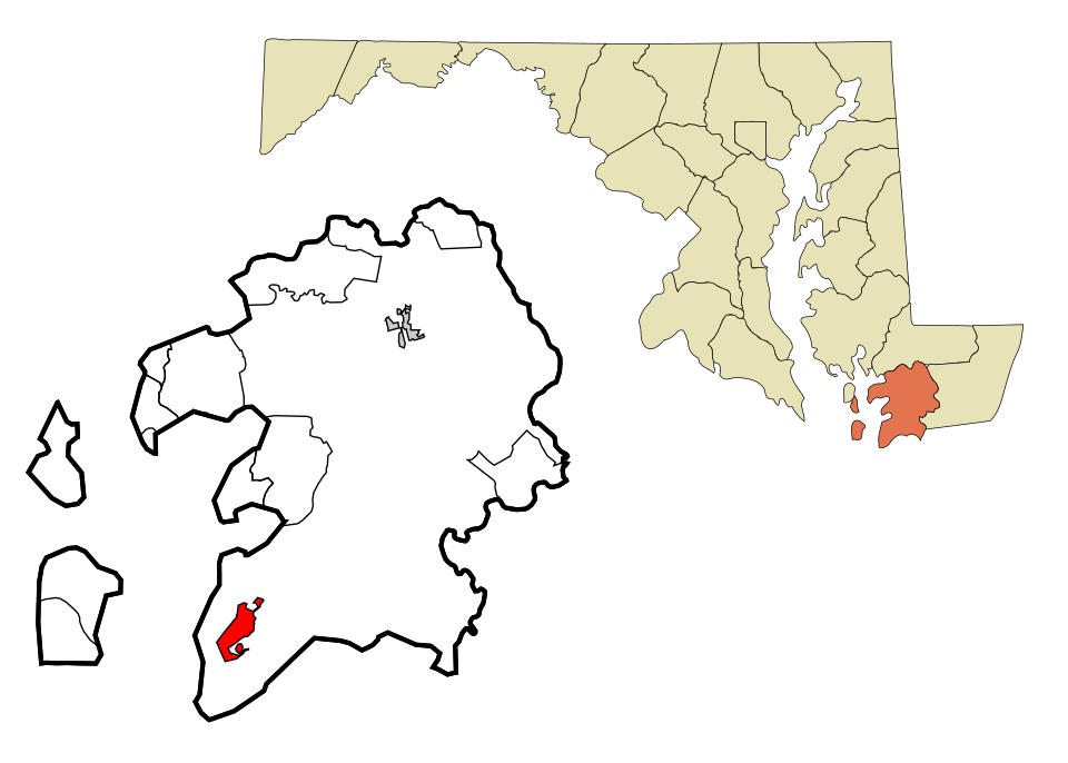

Location map