A history of Clarksburg,
since 1752
Postcards, papers and photographs of Clarksburg from public archives, woven together by decade. Neighbors fill in the gaps.
The story
from WikipediaRead it all ↗Clarksburg is named for trader John Clarke, and was established at the intersection of the main road between Georgetown and Frederick and an old Seneca trail. One of its earliest white inhabitants was a man named Michael Ashford Dowden, who in 1752 received a patent for 40 acres (160,000 m2) from the colonial government called "Hammer Hill", and two years later permission to build an inn. The inn itself is a footnote in history, hosting the army of General Edward Braddock during the French and Indian War, serving as a meeting place for local Sons of Liberty in the years before the American Revolution, and possibly serving dinner to President Andrew Jackson on his way to his inauguration. Jamie, grandson of the trader, built a general store in the area around 1770, and over the next thirty years enough people moved to the area that Clark was appointed postmaster for the community. By 187…
Text from Wikipedia, licensed CC BY-SA 4.0.
Timeline
built from the dates on the items belowFinish Clarksburg’s story
Most archives stop around 1920. The photos from after that are in family albums, not libraries.
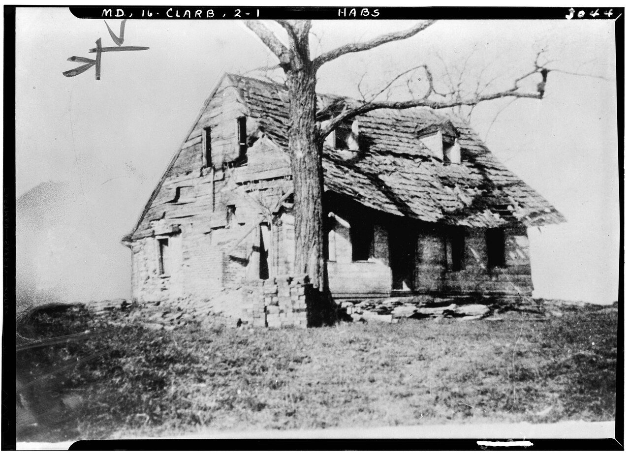
1 of 10 decades since 1900 have photos 🔁Retake an old viewHistoric American Buildings Surve…, 1933: stand where they stood+15 📦Share a family photoSign in to add one+10Famous people close to Clarksburg
See all 20 →


Clarksburg, decade by decade
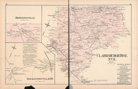
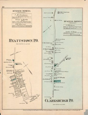
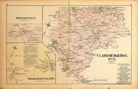
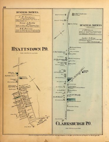
1990s
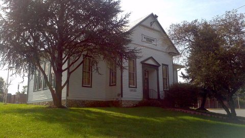 CommonsClarksburg School 2012-09-26 11-10-572012
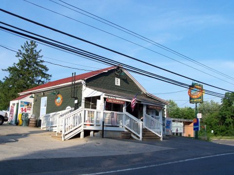 CommonsClarksburg Deli and Grille2010
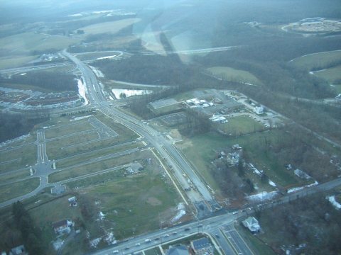 Commons2007 01 23 - Stringtown@121@355@270 - WB 22007
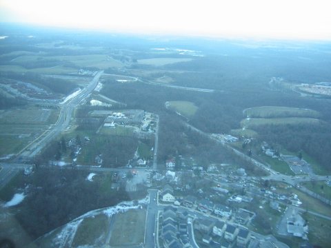 Commons2007 01 23 - Stringtown@121@355@270 - WB 12007
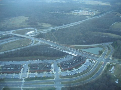 Commons2007 01 23 - 121@270@Stringtown@GatewayCenter - NWB 22007
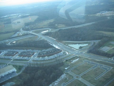 Commons2007 01 23 - 121@270@Stringtown@GatewayCenter - NWB 12007
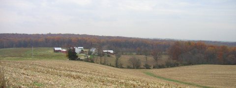 Commons2006 11 07 - View from MD 121 in Boyds-Clarksburg2006
Nothing in Clarksburg is on the National Register yet
That’s true of most small towns. It doesn’t mean Clarksburg has no history, only that no one has written up a nomination. The closest listed place is Clarksburg School in Ten Mile Creek, 1.3 miles away.
Clarksburg and the nearest listed places
How a place gets listed
Then & now
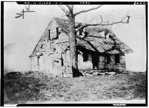
No then-and-now pairs yet. Take a photo from the same spot as Historic American Buildings Survey, From an old photo, Here Washington stopped in 1755 on hid way to join Braddock. - D… (1933) and it appears here side by side.
🔁 Retake this view · +15Stories next door
nearby towns’ historyFrom Wikimedia Commons (12). Images are copied here with their credits and licenses, shown on each photo’s page. Refreshed monthly.