A history of Catonsville,
since 1831
Postcards, papers and photographs of Catonsville from public archives, woven together by decade. Neighbors fill in the gaps.
The story
from WikipediaRead it all ↗The area of present-day Catonsville was not inhabited by large numbers of Native Americans. The region served as a hunting ground or a means of transit, specifically for the Susquehannocks, who lived to the north. By the mid-17th century, any meaningful presence in this region, alongside the Chesapeake Bay, vanished—the 1652 Articles of Peace and Friendship, specifically, essentially ended Susquehannock life in Maryland. Thus, they disappeared decades before the first settlers encroached on the area.
Text from Wikipedia, licensed CC BY-SA 4.0.
Timeline
built from the dates on the items belowFinish Catonsville’s story
Most archives stop around 1920. The photos from after that are in family albums, not libraries.
2 of 10 decades since 1900 have photos 🔁Retake an old view1940 Census Enumeration District …, 1880: stand where they stood+15 📦Share a family photoSign in to add one+10Famous people from Catonsville
See all 20 →


Catonsville, decade by decade
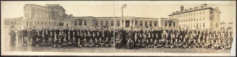
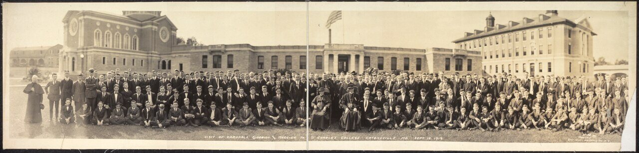
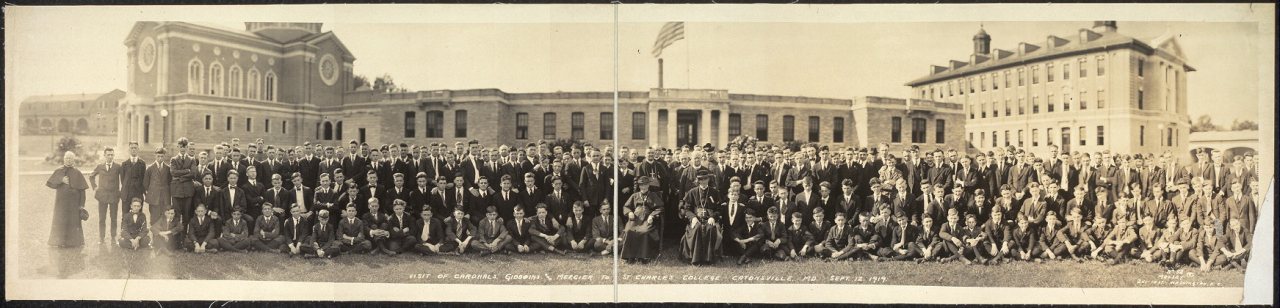
![Visit of Cardnals [sic] Gibboins [i.e., Gibbons?] and Mercier to St. Charles College](https://images.towntapestry.org/story/40484/d50cfb6773ab11ca56df-s.jpg)
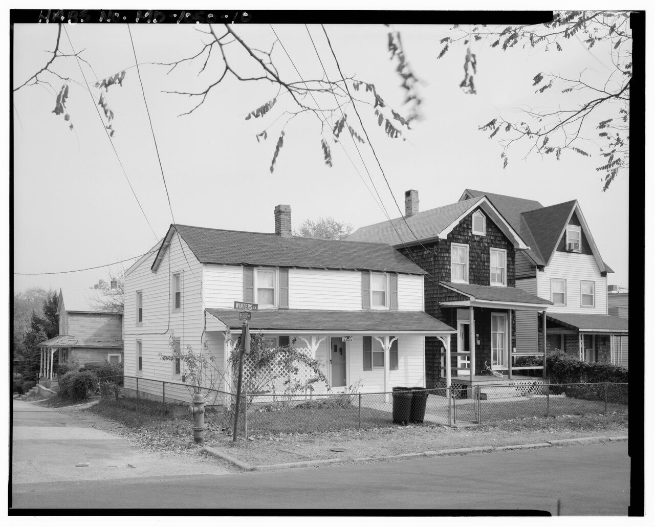
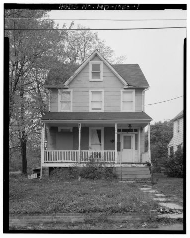 Commons19 Winters Lane (House), 19 Winters Lane1933
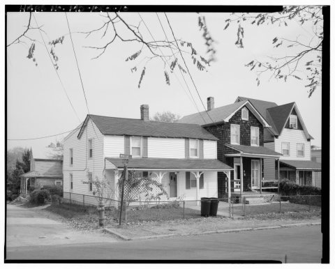 Commons19 Winters Lane (House), 19 Winters Lane1933
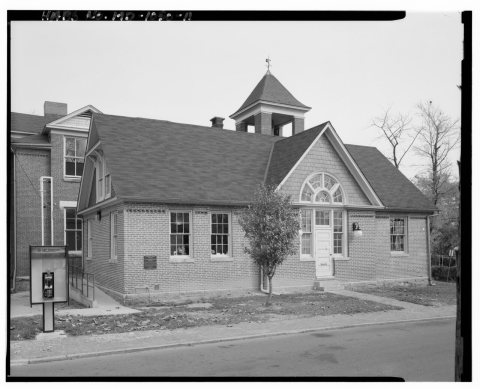 Commons19 Winters Lane (House), 19 Winters Lane1933
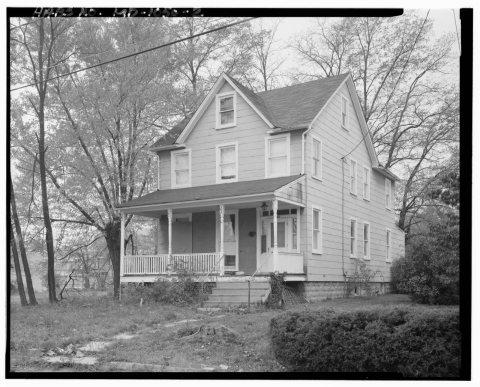 Commons19 Winters Lane (House), 19 Winters Lane1933
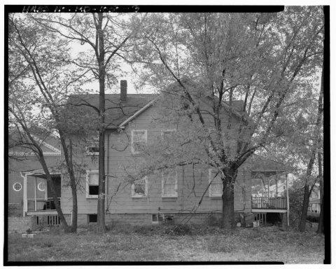 Commons19 Winters Lane (House), 19 Winters Lane1933
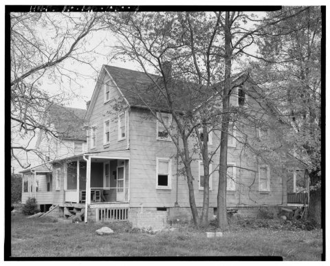 Commons19 Winters Lane (House), 19 Winters Lane1933
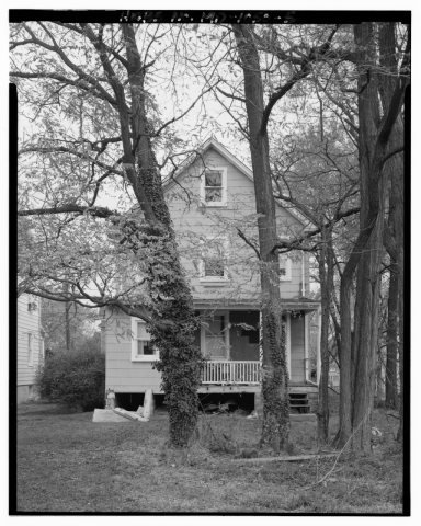 Commons19 Winters Lane (House), 19 Winters Lane1933
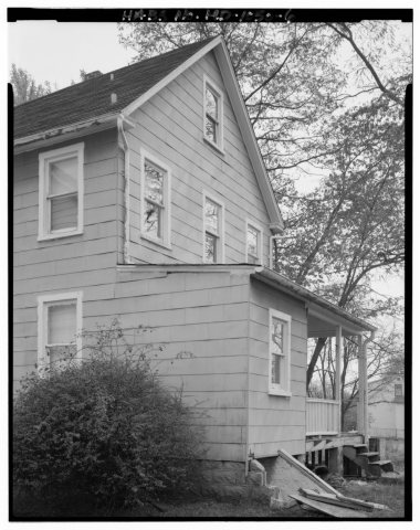 Commons19 Winters Lane (House), 19 Winters Lane1933
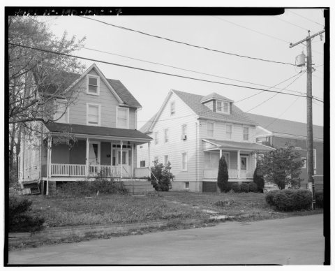 Commons19 Winters Lane (House), 19 Winters Lane1933
1990s
16 historic places in Catonsville
Catonsville has 16 listings on the National Register, and they protect 1,148 historic buildings, because Central Catonsville and Summit Park Historic District alone counts 553.
Where they are
When they were listed
 Listed 1976Patterson Viaduct Ruins
 Listed 1976Mt. Gilboa Chapel
 Listed 1976Oella Historic District
 Listed 1976Ellicott's Mills Historic District
 Listed 1977Old Salem Church and Cemetery
 Listed 1979Summit
 Listed 1980Hilton
 Listed 1983St. Charles College Historic District
 Listed 1985The Wilderness
 Listed 1986Mount de Sales Academy
 Listed 1987Old Catonsville High School
 Listed 2002Catonsville Historic District, Old
 Listed 2006Central Catonsville and Summit Park Historic District
 Listed 2007Winters Lane Historic District
 Listed 2016Baltimore National CemeteryListed 1987St. Charles College Historic District (Boundary Increase)
Then & now
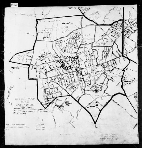
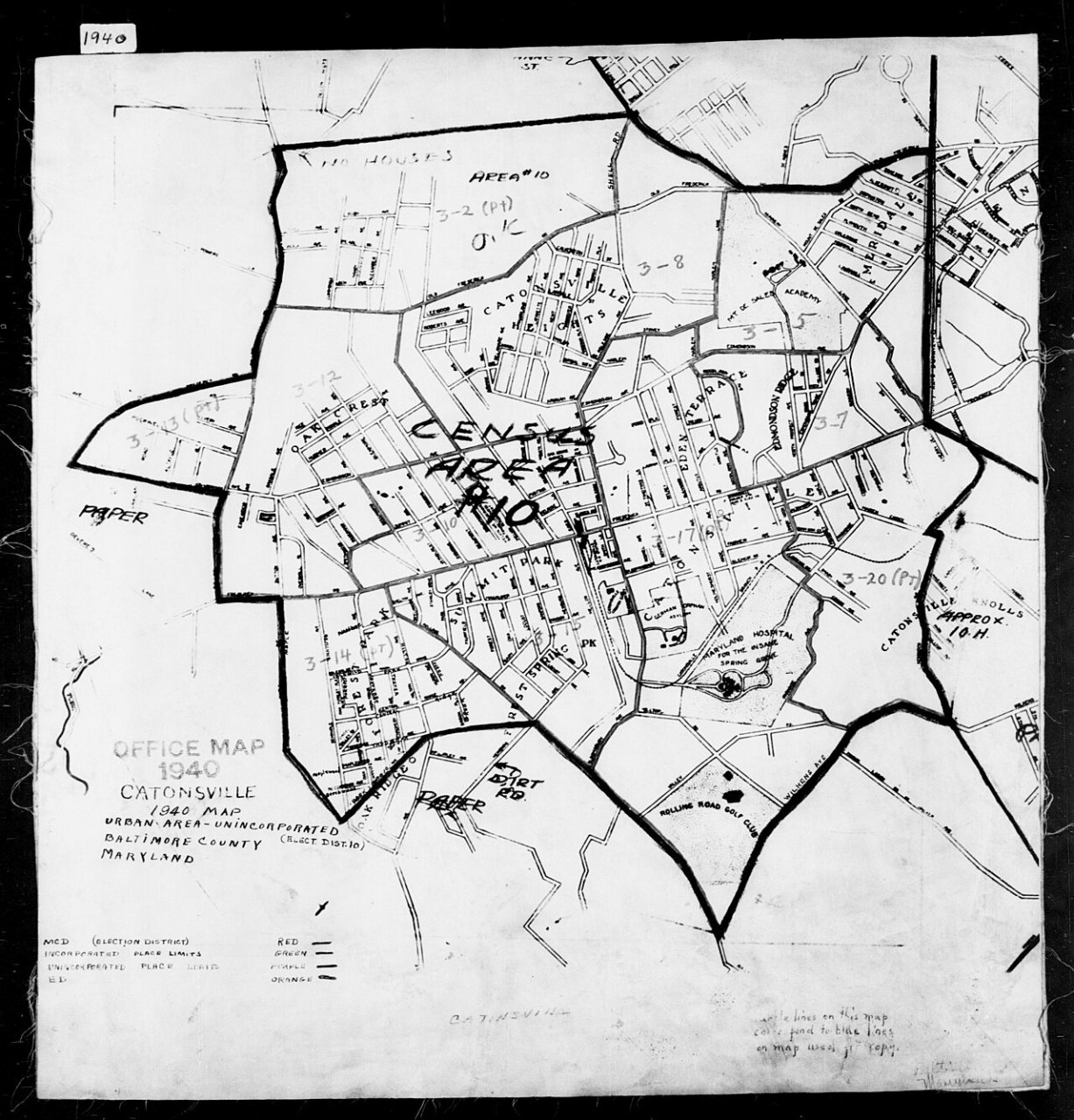
No then-and-now pairs yet. Take a photo from the same spot as 1940 Census Enumeration District Maps - Maryland - Baltimore County - Catonsville - ED 3-2 - ED 3-24 (1880) and it appears here side by side.
🔁 Retake this view · +15Stories next door
nearby towns’ historyFrom Wikimedia Commons (11) and the Library of Congress (1). Images are copied here with their credits and licenses, shown on each photo’s page. Refreshed monthly.