Jones Town Forest
Nature preserve
46 acres2.4 mi of trail
🐕 Dog rules not recorded
No trailhead mapped yet
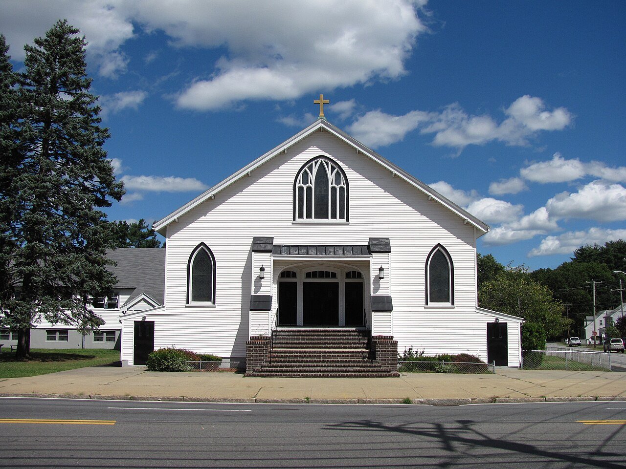
About 12% of Pinehurst is conserved land, roughly 291 acres. There are about 6.7 miles of mapped trails, and the biggest networks are in Jones Town Forest (2.4 mi).
Tap a number to zoom to a park. Tap a layer to hide it.
The longest trail network is Jones Town Forest, with 2.4 miles. Directions go to the nearest trailhead or public parking.
Beaches, playgrounds, peaks, falls and more. Pick a kind.
Who manages Pinehurst’s conserved land, from the USGS Protected Areas Database. Approximate, because parcels can overlap.
Conserved doesn’t always mean open to visitors. 10 acres are conservation easements, usually private land. Public access isn’t recorded for 3 of 17 parcels. The walks above are places people visit.
| Place | Managed by | Acres | Public access |
|---|---|---|---|
| Minuteman Sportsmens Club Private Other or Unknown | Not recorded | 98 | Restricted |
| Woburn Sportsmen's Association Private Other or Unknown | Not recorded | 45 | Restricted |
| Country Club of Billerica Private Other or Unknown | Not recorded | 33 | Restricted |
| Thomas Ditson Elementary School Playground Research or Educational Area | Not recorded | 21 | Open |
| Locke Jr High School Recreational Fields Research or Educational Area | Not recorded | 14 | Unknown |
| Shawsheen Valley Regional Vocational Technical High School Recreational Fields Research or Educational Area | Not recorded | 13 | Open |
| Bicknell Town Forest Local Resource Management Area | Town or city | 12 | Open |
| Shaloo Meadow Forest Conservation Area Local Other or Unknown | Not recorded | 12 | Open |
| Progress Road Conservation Area Local Other or Unknown | Not recorded | 9 | Open |
| Shaloo Meadow Forest Local Resource Management Area | Not recorded | 7 | Open |
5 smaller protected places aren’t shown.
Bike lanes are often missing from the map in smaller towns, so that number is likely low.
Includes school and college facilities, which aren’t always open to the public.
Tap a town to see its outdoors.
| Town | Conserved | Parks |
|---|---|---|
| Pinehurst | 12.1% | 7 |
| Billerica | 12.1% | 48 |
| Bedford | 22.7% | 67 |
| Burlington | 17.2% | 25 |
Conditions, parking and favorite walks from Pinehurst neighbors.
Your answer becomes a post in Town Square.
Trails, parks, preserves, courts and bike lanes © OpenStreetMap contributors (ODbL), map data as of 2026-09-28. Conserved land: USGS Gap Analysis Project, PAD-US. Measured against the Census town boundary.
"Trails" are OpenStreetMap paths, bridleways, public tracks and unpaved footways, plus footways inside a park or preserve or on a named trail route. Sidewalks are left out. Areas are counted on a 20-meter grid, so overlapping parcels count once. "Conserved" includes conservation easements, which protect land from development but are usually private property. Trailheads are the nearest marked trailhead, public parking lot or information board within about 150 meters of a preserve. Dog rules come from OpenStreetMap when someone has tagged them; otherwise we show what’s typical for the land manager, or say the rules aren’t recorded.