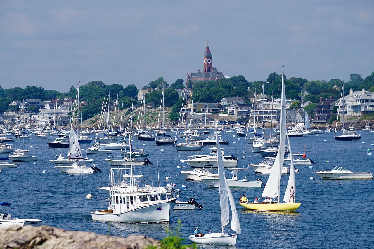
Marblehead is #1 in Massachusetts for health insurance
Marblehead is ranked on 40 lists against the 284 Massachusetts towns with 2,500+ residents. It makes the top 10 on 1 and the top quarter on 10.
A podium finish, and more
Each list ranks every MA town with 2,500+ residents. Tap one to see the whole list with Marblehead marked.
1 spot from the top 10 for fewest smokers
Lists where Marblehead sits just outside a milestone, and what it would take to get in.
Marblehead lands in the top half on 16 of 26 lists
Each dot is Marblehead’s spot on one list: the left end is #1 in MA, the right end is last. Areas where Marblehead does best come first.
Steadier prices than 94% of Massachusetts
Not better or worse, just Marblehead’s character, from the lists where neither end is the “good” one. The most distinctive come first.
Marblehead out-ranks every neighbor it can be compared with
Head to head on the lists where both towns are ranked: a point for each list where one town places higher. Tap a town for its own rankings.
Where Marblehead lands in every MA ranking
41 lists from Census, school, health, library, crime, climate and land data. Tap any list to see every town on it.
Health
D Healthiest#1 Dover · 100 / 100 #34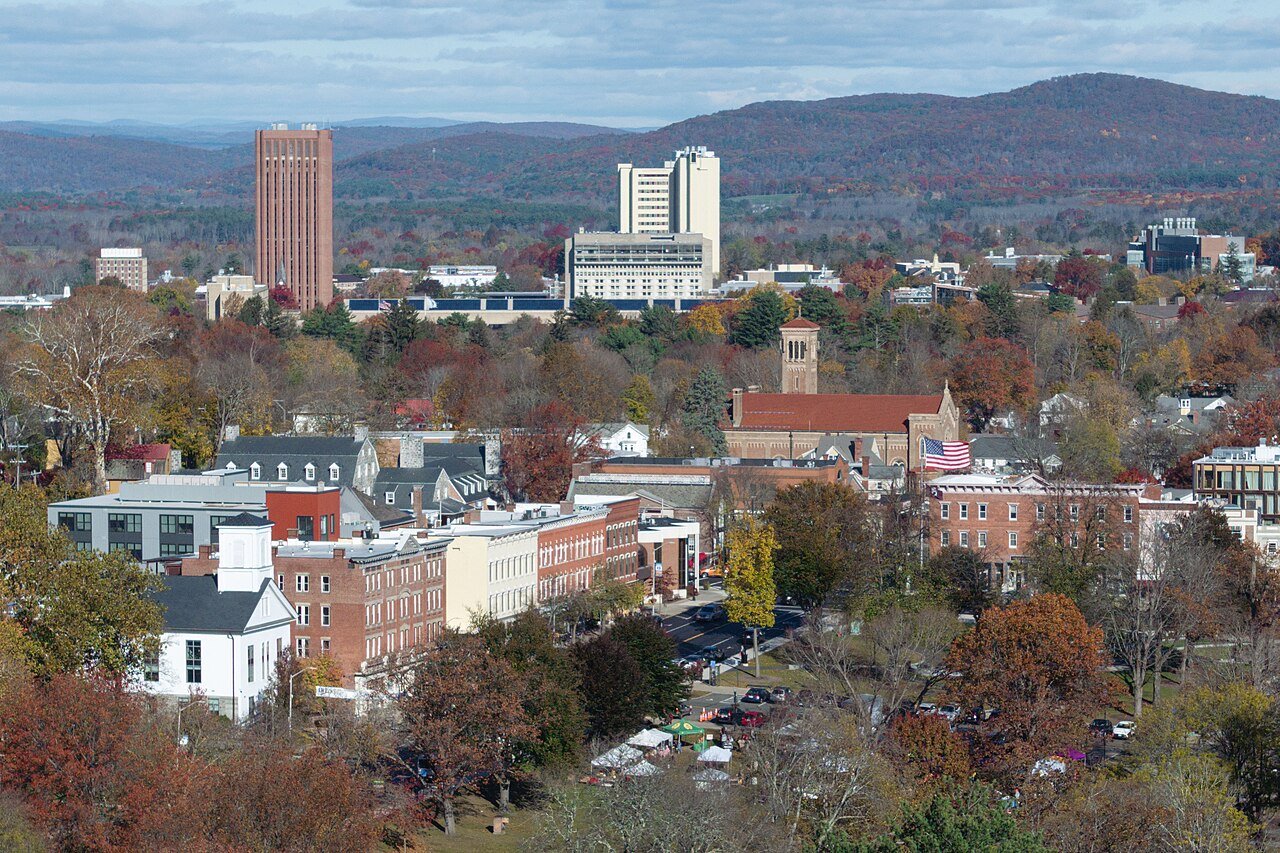 Lowest obesity#1 Amherst Town · 19%
#84
Lowest obesity#1 Amherst Town · 19%
#84
 Fewest smokers#1 Lexington · 6%
#11
D
Most active#1 Dover · 12%
#30
Fewest smokers#1 Lexington · 6%
#11
D
Most active#1 Dover · 12%
#30
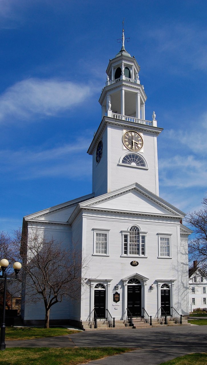 Fewest uninsured#1 Manchester-by-the-Sea · 2%
#1
Lowest depression#1 Lexington · 20%
#14
Fewest uninsured#1 Manchester-by-the-Sea · 2%
#1
Lowest depression#1 Lexington · 20%
#14
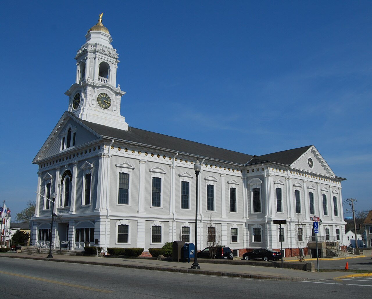 Closest to a top hospital#1 Milford · 0.0 mi
#24
Closest to a top hospital#1 Milford · 0.0 mi
#24 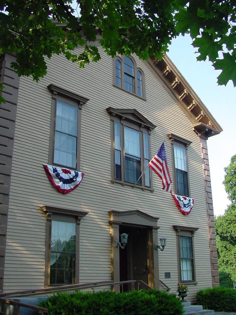
People
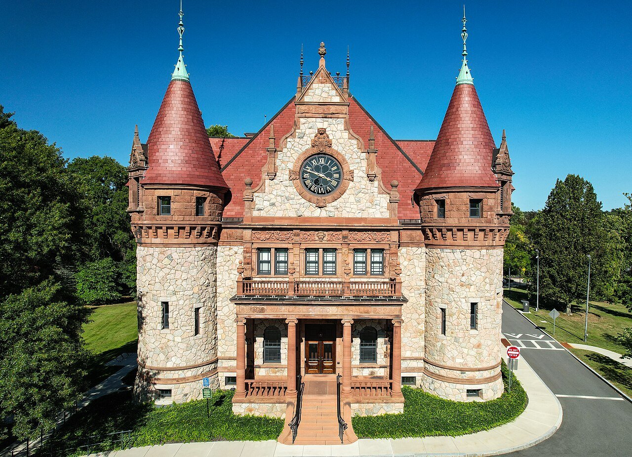 Most educated#1 Wellesley · 89%
#19
Youngest#1 Amherst Town · 21.4
#238
Most educated#1 Wellesley · 89%
#19
Youngest#1 Amherst Town · 21.4
#238
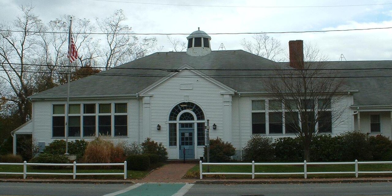 Oldest#1 Orleans · 64.7
#47
Most residents 65+#1 Orleans · 49.3%
#72
Oldest#1 Orleans · 64.7
#47
Most residents 65+#1 Orleans · 49.3%
#72
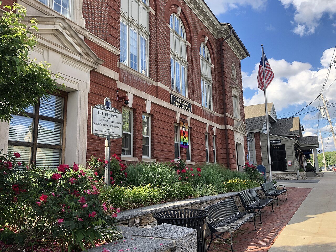 Most kids#1 Hopkinton · 29.5%
#66
Most kids#1 Hopkinton · 29.5%
#66 
Cost of living
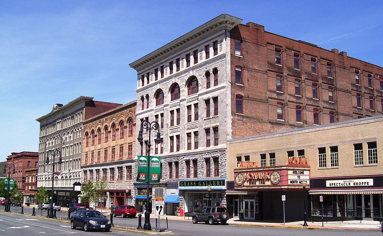 Most affordable#1 North Adams · 1.9 yrs
#260
Most affordable#1 North Adams · 1.9 yrs
#260
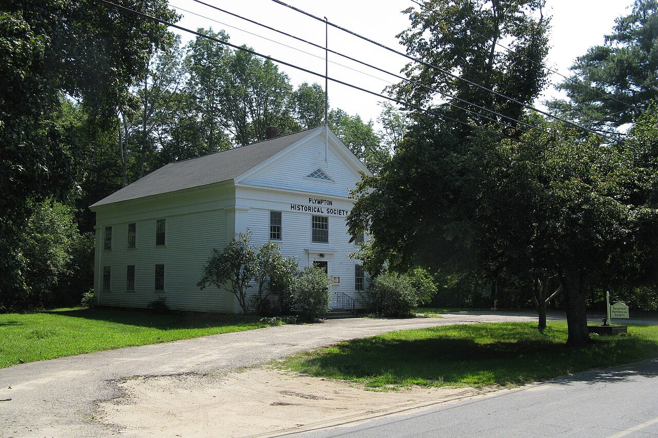 Cheapest rent#1 Plympton · $555/mo
#154
D
Lowest property tax#1 Dennis · $2,877/yr
#223
Cheapest rent#1 Plympton · $555/mo
#154
D
Lowest property tax#1 Dennis · $2,877/yr
#223
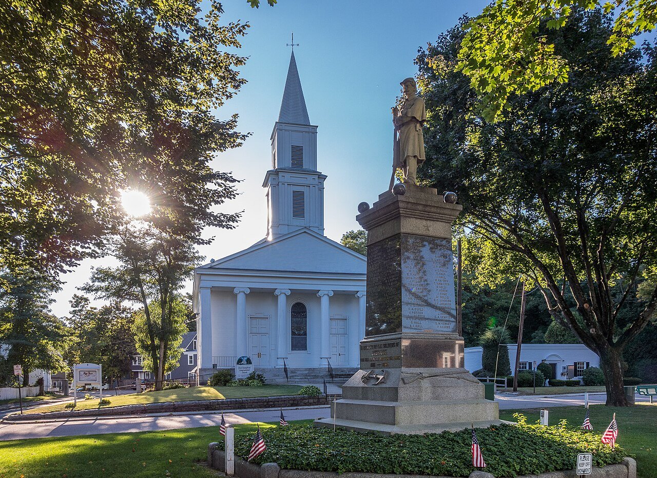 Rent easiest to afford#1 Uxbridge · 25.6%
#41
Rent easiest to afford#1 Uxbridge · 25.6%
#41 Libraries
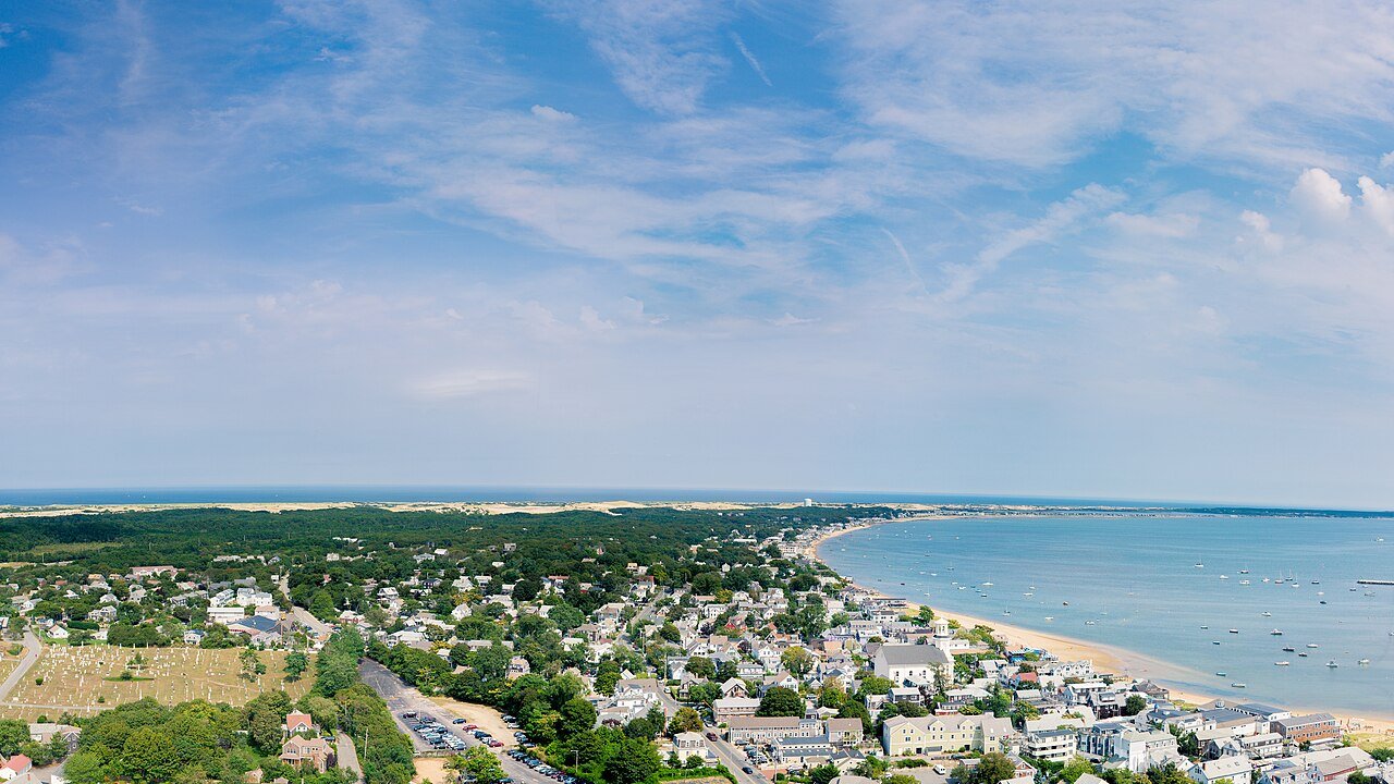 Most-used libraries#1 Provincetown · 27.5 per resident
#97
Most-used libraries#1 Provincetown · 27.5 per resident
#97
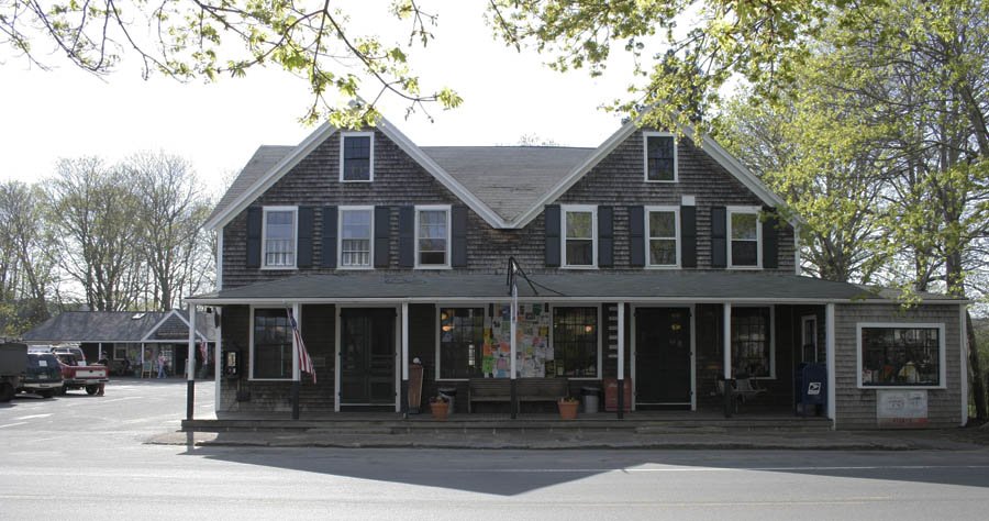 Most library borrowing#1 West Tisbury · 34.6 per resident
#172
Best libraries for kids#1 West Tisbury · 115.2 per child
#197
Most library borrowing#1 West Tisbury · 34.6 per resident
#172
Best libraries for kids#1 West Tisbury · 115.2 per child
#197 Outdoors
Most conserved land#1 Provincetown · 68.4%
#282
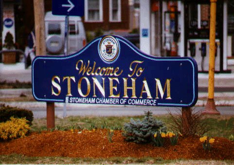 Most trails#1 Stoneham · 5.9 mi / sq mi
#264
Most trails#1 Stoneham · 5.9 mi / sq mi
#264
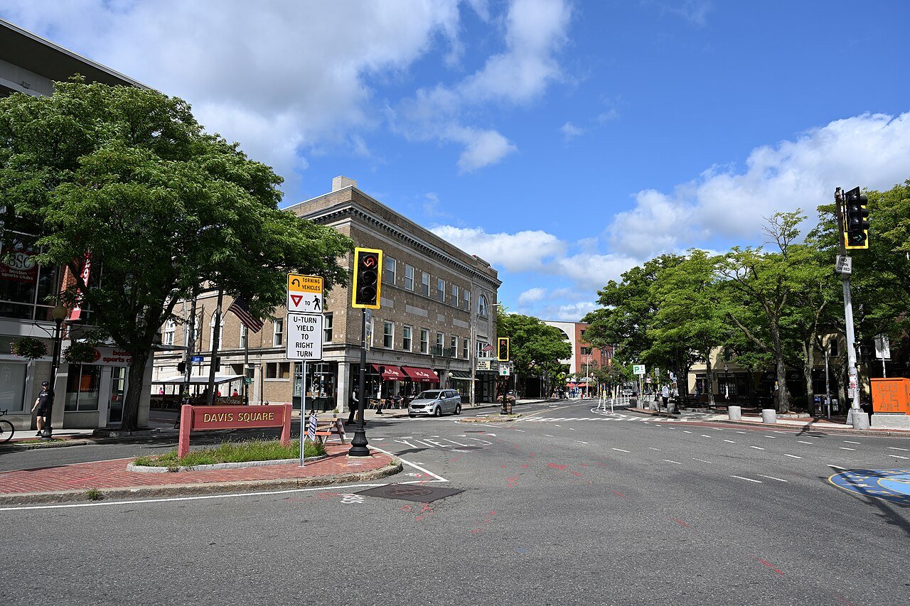 Most walkable#1 Somerville · 306 / sq mi
#93
Most walkable#1 Somerville · 306 / sq mi
#93 

Getting around
 Shortest commute#1 Edgartown · 11.5 min
#205
Shortest commute#1 Edgartown · 11.5 min
#205 
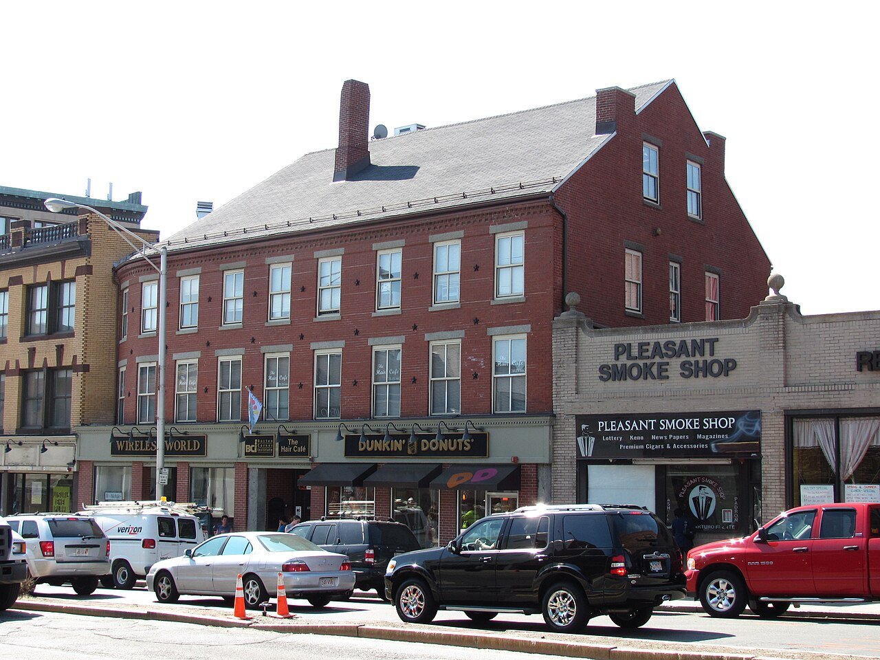
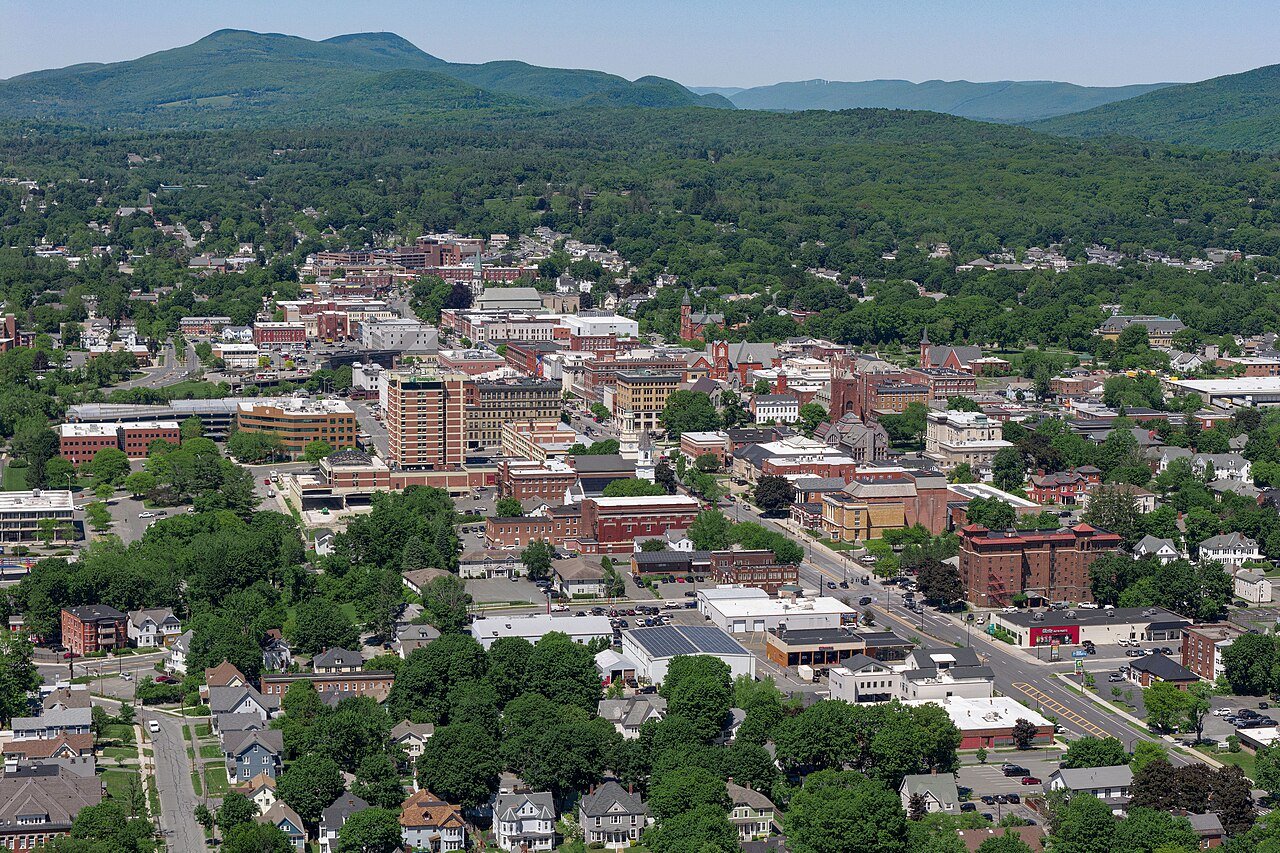

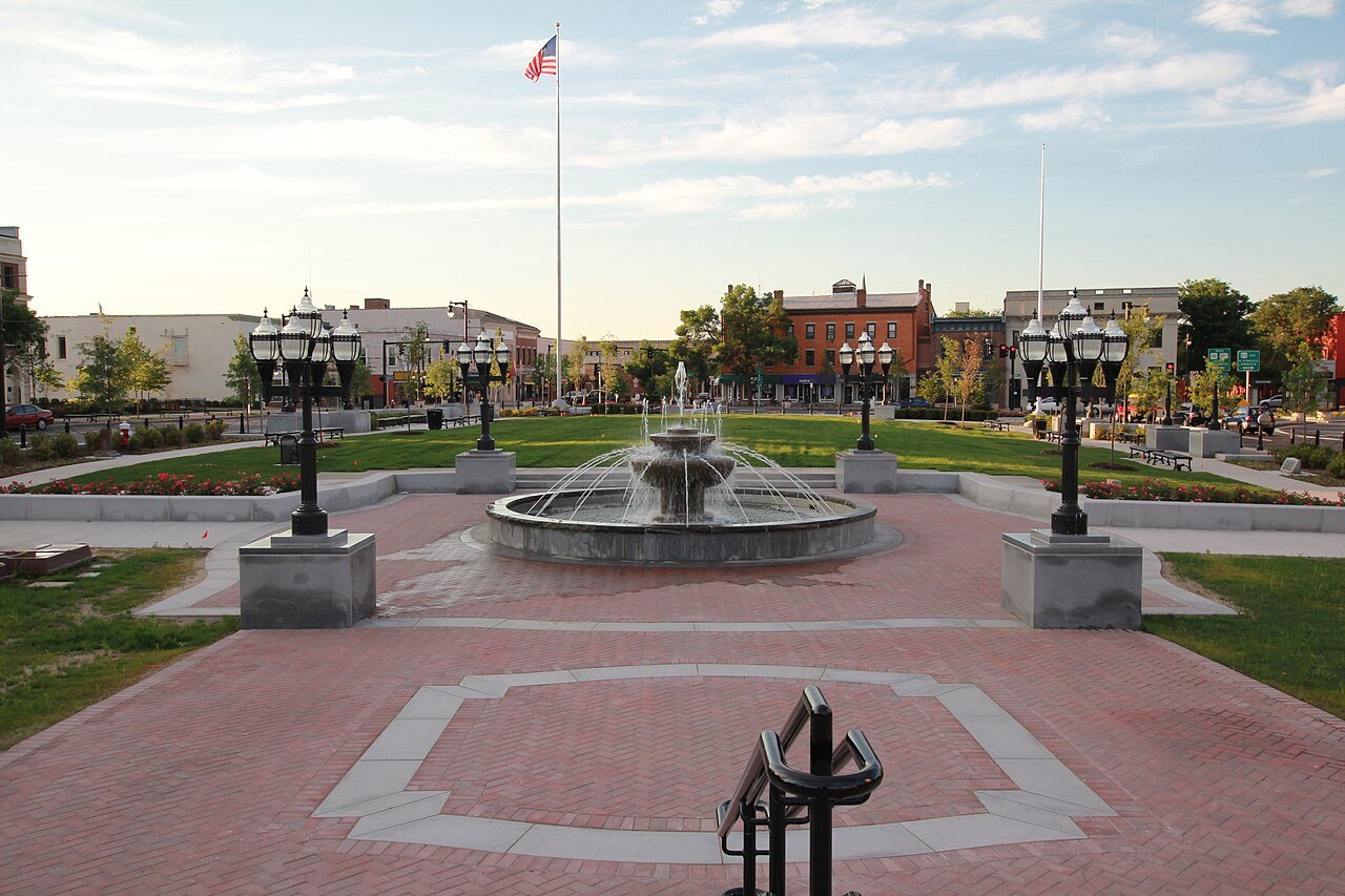
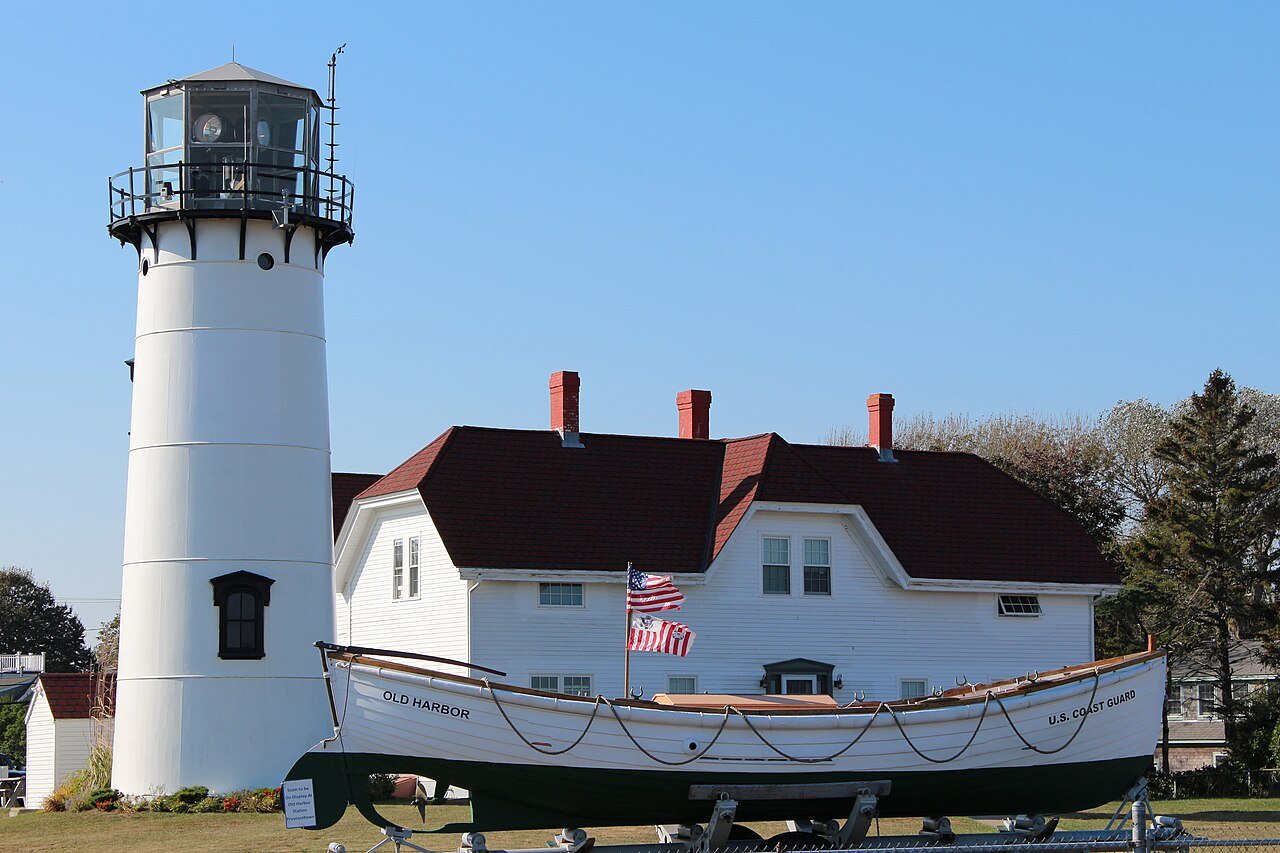
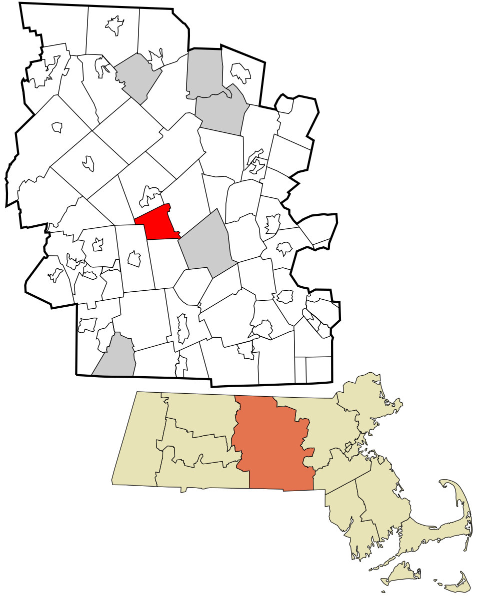
The number on the right is Marblehead’s spot. All of Massachusetts’s rankings, with the map → · National lists and other states: all rankings.
Do the numbers ring true?
The lists count what can be counted. Neighbors know the rest.
Your answer becomes a post in Town Square.
- 2,500+ residents. Census estimates for smaller towns carry margins of error too wide to rank fairly, so they sit out every MA list.
- One town, one row. A city that is both a city and a town in Census data, or a village inside a town, is counted once.
- Ties share a rank. Towns on one weather station, one school district or one CDC estimate share a figure, so they share a spot (T).
- No “worst” lists. Lists rank toward the good end, and share cards are made only for the top half. Age, snow and the like are character, not grades.
U.S. Census Bureau (American Community Survey 5-year, 2010 and 2020 censuses, Building Permits Survey), U.S. Department of Education, FBI Uniform Crime Reporting, CDC PLACES, Medicare Care Compare, IMLS Public Libraries Survey, FHFA House Price Index, NOAA U.S. Climate Normals 1991–2020, USGS PAD-US and OpenStreetMap. Each list explains its own method.