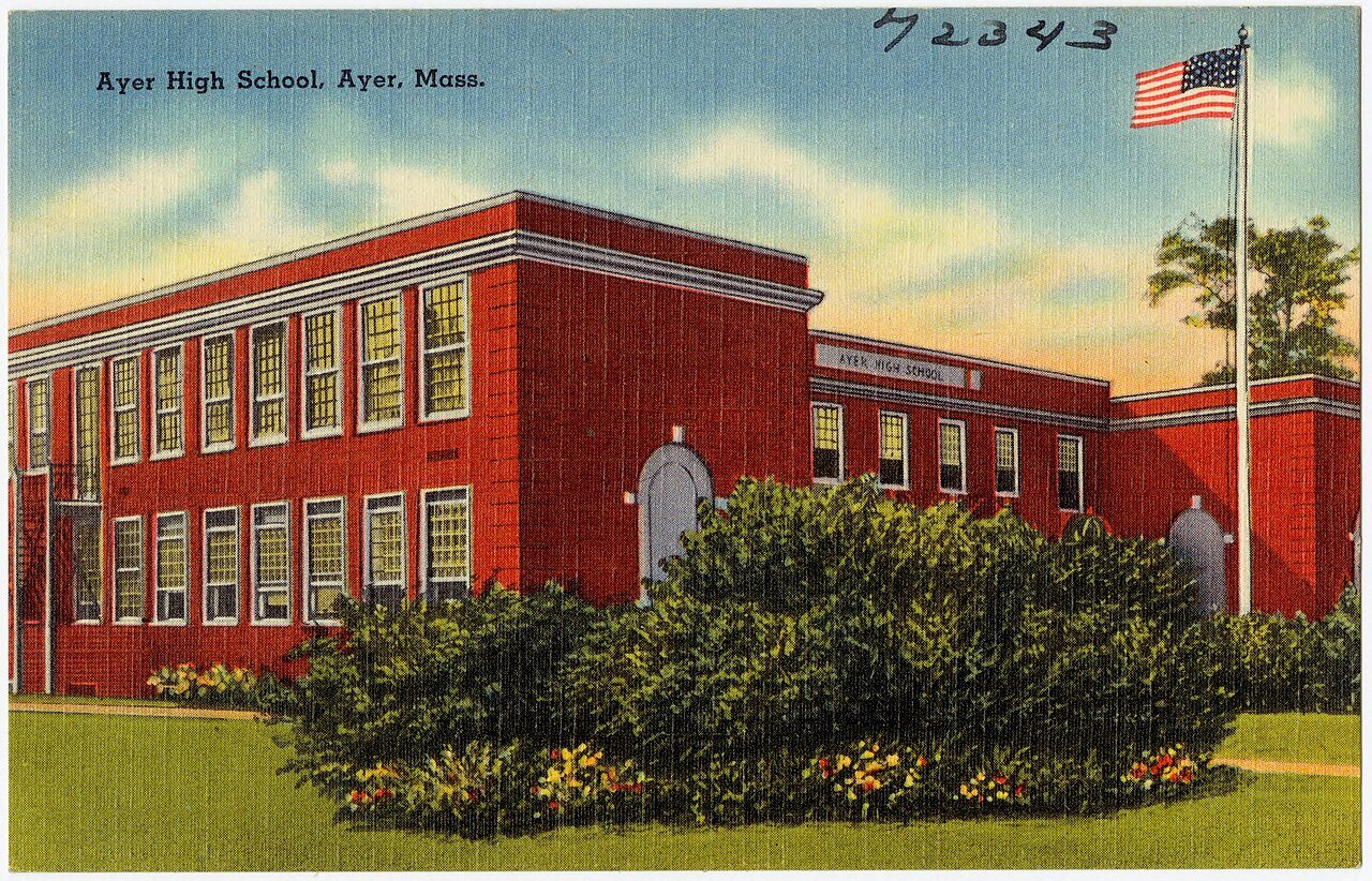
Ayer,
since 1668
Postcards, papers and photographs of Ayer from public archives, woven together by decade. Neighbors fill in the gaps.
The story
from WikipediaRead it all ↗Ayer was originally inhabited by the Nashaway, a Nipmuc people that inhabited the lands along the Nashua River and its tributaries. A small settlement was located along the banks of the Nonacoicus Brook, located in the western part of the town. The name of the Nashaway village, its people and the brook, pronounced by locals as /ˈnɒ nə ˌkɔɪ ʃəs/, was also recorded in early English sources as 'Nonajcoyjicus,' 'Nonocoyecos,' 'Nonacoiacus' and 'Nonaicoics.' According to the personal manuscripts of Justice Samuel Sewall, best known for his controversial role in the Salem witch trials, he was told sometime in 1698 by Hanah, wife of Sachem Ahaton of the Ponkapoag Massachusett tribe, that the name was actually Nunnacoquis (modern Wôpanâak Massachusett dialect Nunahkuqees /nənahkəkʷiːs/) and signified 'an Indian earthen pot' although literally refers to a 'small dry earthen pot.' The name was l…
Text from Wikipedia, licensed CC BY-SA 4.0.
Timeline
built from the dates on the items belowFinish Ayer’s story
Most archives stop around 1920. The photos from after that are in family albums, not libraries.
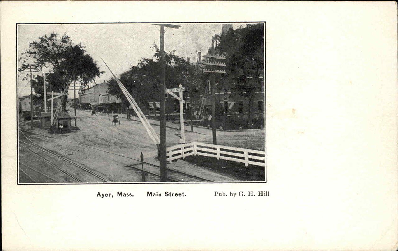
3 of 10 decades since 1900 have photos 🔁Retake an old viewMain Street level crossing in Aye…, 1901–1907: stand where they stood+15 📦Share a family photoSign in to add one+10Ayer, decade by decade
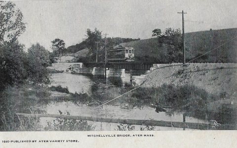
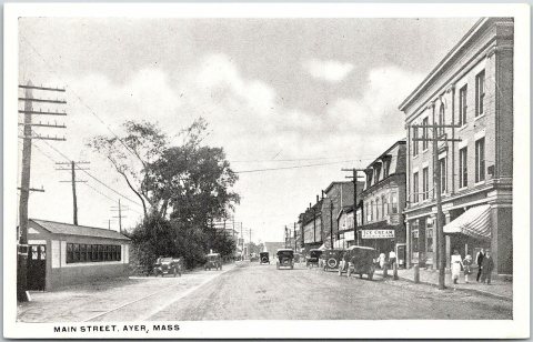

1990s
Then & now
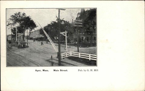
No then-and-now pairs yet. Take a photo from the same spot as Main Street level crossing in Ayer - postcard (1901–1907) and it appears here side by side.
🔁 Retake this view · +15Historic places
National Register · via Wikidata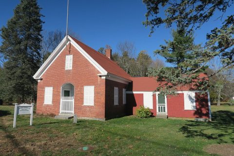
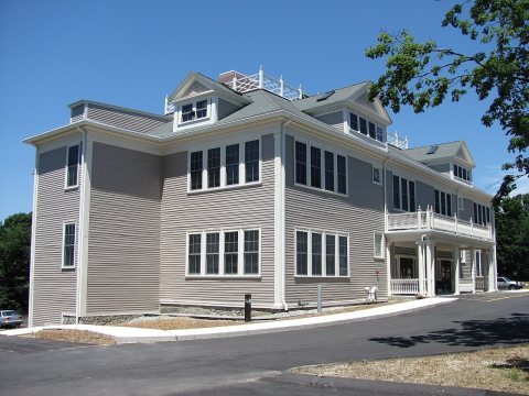
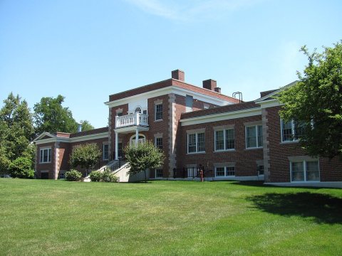
From Wikimedia Commons (8), the Library of Congress (1) and the National Register (3). Images are copied here with their credits and licenses, shown on each photo’s page. Refreshed monthly.