The story
from WikipediaRead it all ↗The first European settlement in the area became known as Los Adaes, which served as the capital of Spanish Texas for over 50 years, from 1721 to 1773. The Spanish settlement was established at a strategic location on the border with French Louisiana to counter the growing French settlement of Natchitoches. France ceded the area to Spain in 1763 after the French and Indian War, and ten years later, Spain abandoned the settlement. Spain ceded Spanish Louisiana to France by treaty in 1800, which sold it to the United States in 1803 through the Louisiana Purchase.
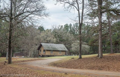
The historic Keegan House, built in 1850 on the Elzey plantation, is located in Robeline.
Text from Wikipedia, licensed CC BY-SA 4.0.
Start Robeline’s collection
The first neighbors to add old photos shape how Robeline’s history is told.
0 of 10 decades since 1900 have photos 📦Share a family photoSign in to add one+10Famous people from Robeline
See all 2 →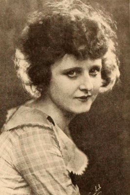
Robeline, decade by decade
2000

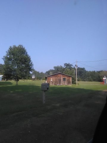
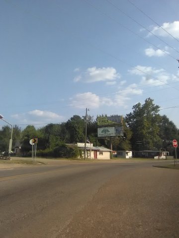
3 historic places in Robeline
3 places in Robeline are on the National Register of Historic Places, the country’s official list of buildings and places worth saving. One is a National Historic Landmark, the highest tier, which fewer than 3% of listings reach.
Where they are
When they were listed
 Listed 1988Robeline Methodist Church
 Listed 1995Keegan House
Then & now
When neighbors add old photos, retakes from the same spot appear here side by side.
Stories next door
nearby towns’ historyFrom Wikimedia Commons (6) and the National Register (1). Images are copied here with their credits and licenses, shown on each photo’s page. Refreshed monthly.