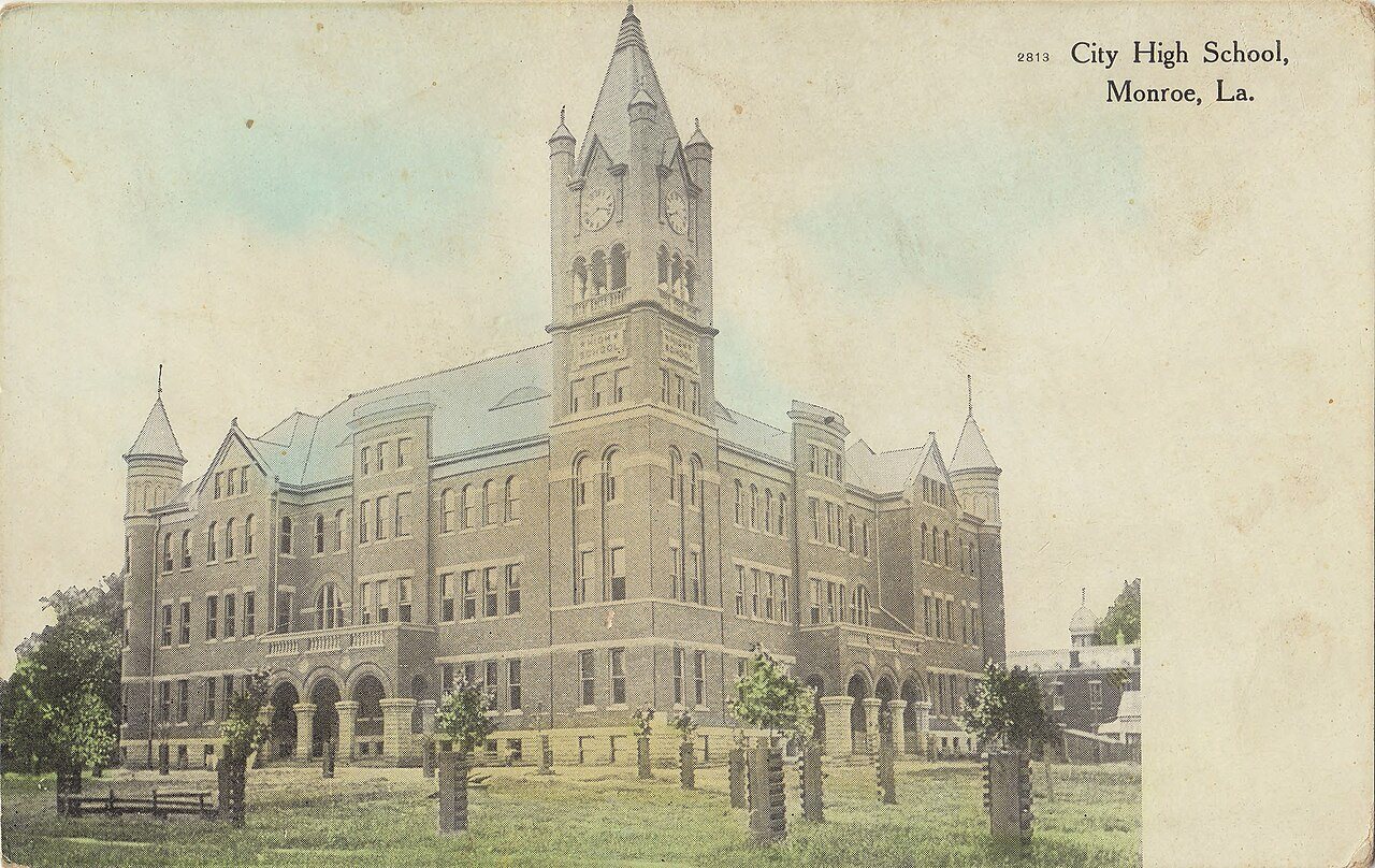
Monroe’s history is
mostly unwritten
The public archives hold only 3 old photos of Monroe. The rest are in attics, shoeboxes and the historical society. Help start the collection.
The story
from WikipediaRead it all ↗As the 19th century began, the entire Ouachita Valley region ... was part of Spanish colonial holdings. Ouachita Parish encompassed the area between the Red and the Mississippi Rivers, from north of Concordia and Rapides Parish to the Missouri. The area was sparsely populated, primarily by itinerant hunters and trappers until late in the 18th century. Under Spanish colonial rule, Jean Baptiste Filhiol was sent from South Louisiana to oversee the settlement of the Poste du Ouachita in 1781. In 1785 Filhiol designated Prairie des Canots, now Monroe ... as the governmental center of the Poste du Ouachita. In response to a petition by the settlers, a fortification was built in 1791 and named Fort Miro in honor of the Spanish governor, Estavan Miro.
Text from Wikipedia, licensed CC BY-SA 4.0.
Timeline
built from the dates on the items belowStart Monroe’s collection
The first neighbors to add old photos shape how Monroe’s history is told.
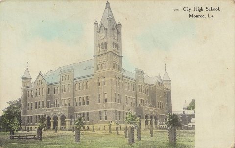
2 of 10 decades since 1900 have photos 🔁Retake an old viewMonroe City High School (Postcard…, 1907: stand where they stood+15 📦Share a family photoSign in to add one+10Monroe, decade by decade
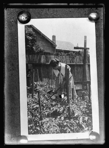
1990s
Then & now
No then-and-now pairs yet. Take a photo from the same spot as Saenger Theater (1900) and it appears here side by side.
🔁 Retake this view · +15Historic places
National Register · via Wikidata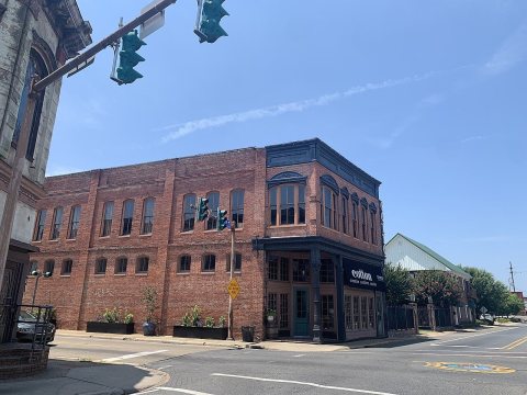
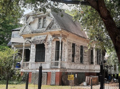
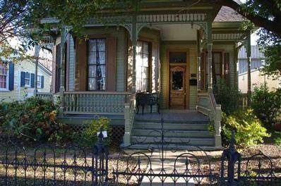
From Wikimedia Commons (1), the Library of Congress (2) and the National Register (3). Images are copied here with their credits and licenses, shown on each photo’s page. Refreshed monthly.