Kinder’s history is
mostly unwritten
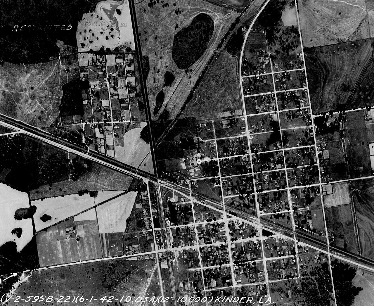
The public archives hold only 2 old photos of Kinder. The rest are in attics, shoeboxes and the historical society. Help start the collection.
The story
from WikipediaRead it all ↗James A. Kinder, a Union soldier, went south during the Civil War and after the war, he returned to the state, settling first in Rapides Parish in 1870, then moving south to Kinder. He homesteaded a Soldier's Land Grant of 138.77 acres (56.16 ha) and built a home and store where Highway 165 and Highway 190 now intersect. His customers called the store Kinder's Store.
Jabez Bunting Watkins brought the Watkins, Kansas City and Gulf Railroad through Kinder, and purchased Kinder's land in 1892. Kinder moved to Lake Charles.
Text from Wikipedia, licensed CC BY-SA 4.0.
Timeline
built from the dates on the items belowStart Kinder’s collection
The first neighbors to add old photos shape how Kinder’s history is told.
1 of 10 decades since 1900 have photos 🔁Retake an old viewLouisiana - Boyce through, 1917: stand where they stood+15 📦Share a family photoSign in to add one+10Famous people from Kinder
See all 3 →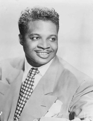

Kinder, decade by decade
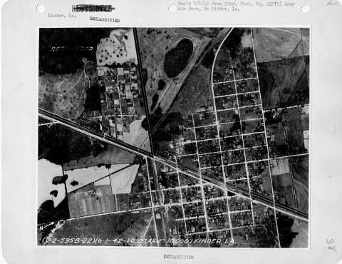
1990s
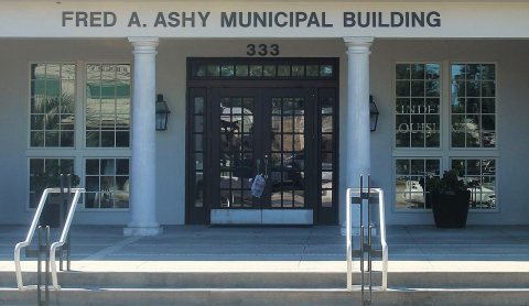
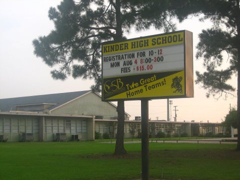
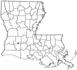
1 historic place in Kinder
1 place in Kinder is on the National Register of Historic Places, the country’s official list of buildings and places worth saving.
Where they are
When they were listed
Then & now
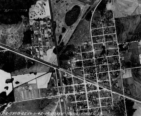
No then-and-now pairs yet. Take a photo from the same spot as Louisiana - Boyce through (1917) and it appears here side by side.
🔁 Retake this view · +15From Wikimedia Commons (6) and the National Register (1). Images are copied here with their credits and licenses, shown on each photo’s page. Refreshed monthly.