A history of Independence,
then and now
Postcards, papers and photographs of Independence from public archives, woven together by decade. Neighbors fill in the gaps.
The story
from WikipediaRead it all ↗The move to establish Independence as a town was led in the early 20th century by State Representative Harry D. Wilson, who subsequently served from 1916 until his death early in 1948 as the Louisiana Commissioner of Agriculture and Forestry. Wilson was a son of Dr. and Mrs. William D. Wilson. In 1856, Dr. Wilson had built a store in Independence, which remained for years the oldest building in the community. Harry Wilson worked in the parish seat of Amite in the general store of the merchant Jacob Stern at a time when Tangipahoa Parish did not yet depend on the strawberry crop. During the 1890s, Wilson was an express messenger for the Illinois Central Railroad. He left that position to pursue a political career.
Text from Wikipedia, licensed CC BY-SA 4.0.
Timeline
built from the dates on the items belowFinish Independence’s story
Most archives stop around 1920. The photos from after that are in family albums, not libraries.
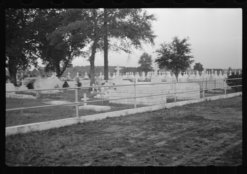
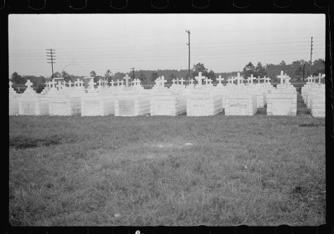
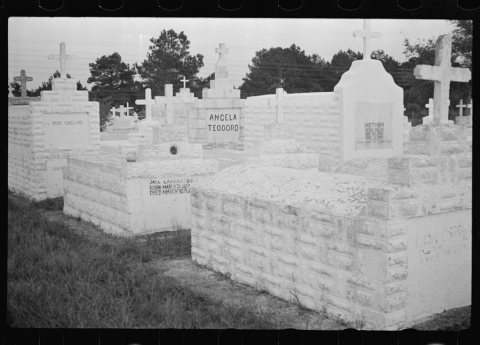
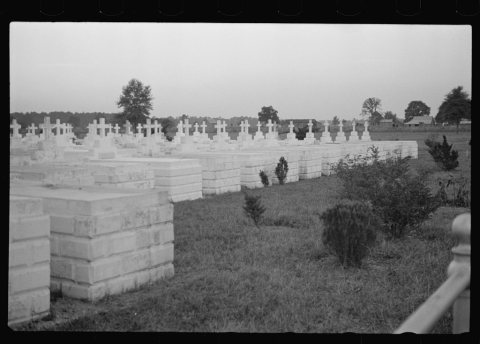
1 of 10 decades since 1900 have photos 🔁Retake an old viewItalian cemetery, 1935: stand where they stood+15 📦Share a family photoSign in to add one+10Famous people from Independence
See all 13 →
Independence, decade by decade
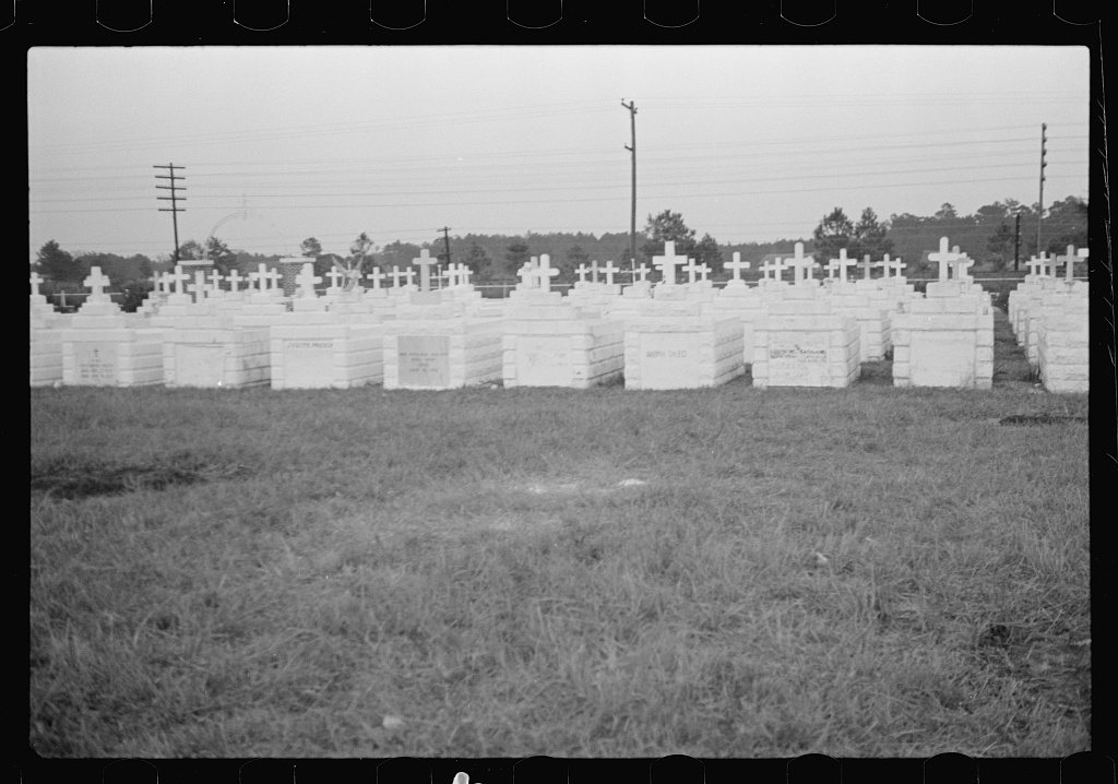
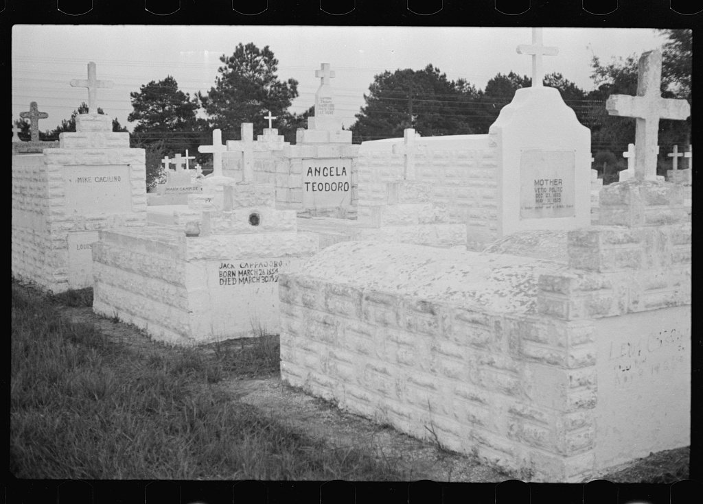
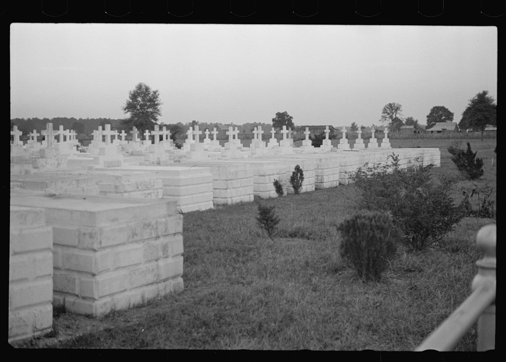
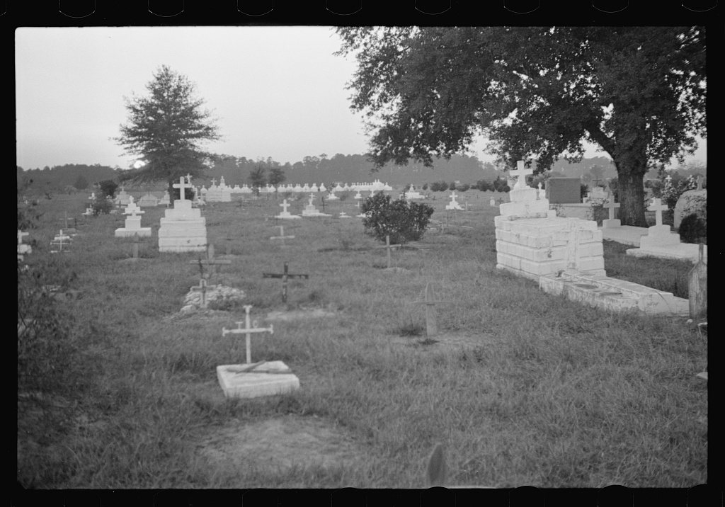
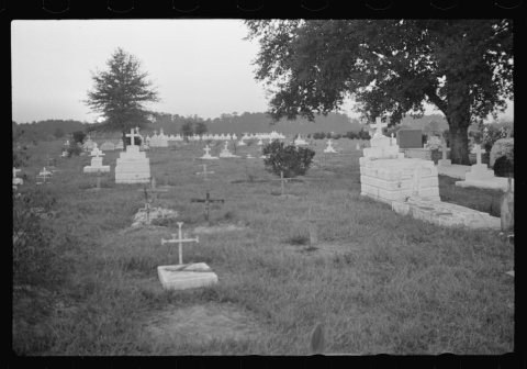
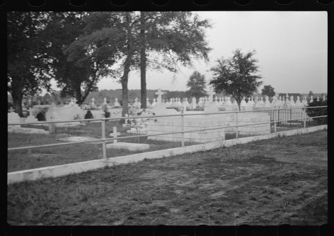
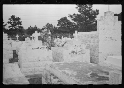
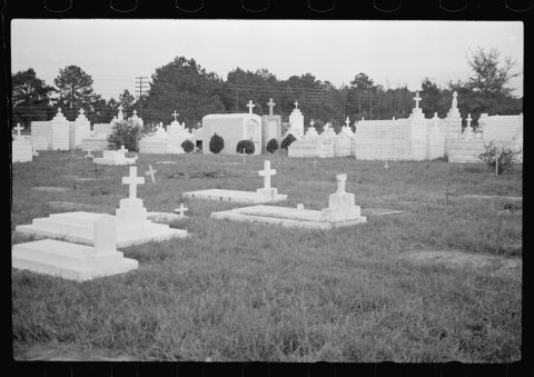
 LOCItalian cemetery1935
 LOCItalian cemetery1935
 LOCUntitled photo, possibly related to: Italian cemetery1935
 LOCUntitled photo, possibly related to: Italian cemetery1935
 LOCUntitled photo, possibly related to: Italian cemetery1935
 LOCUntitled photo, possibly related to: Italian cemetery1935
 LOCUntitled photo, possibly related to: Italian cemetery1935
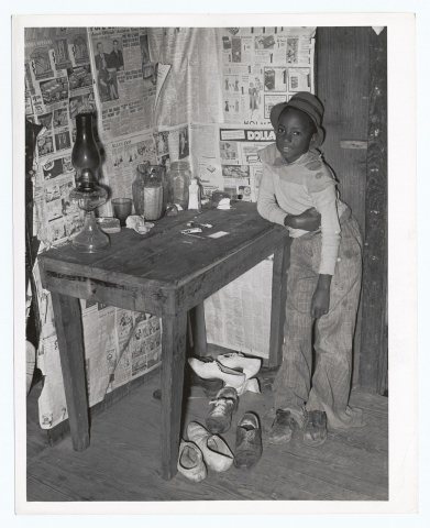 CommonsCorner of room of living quarters provided for Negro strawb…1939
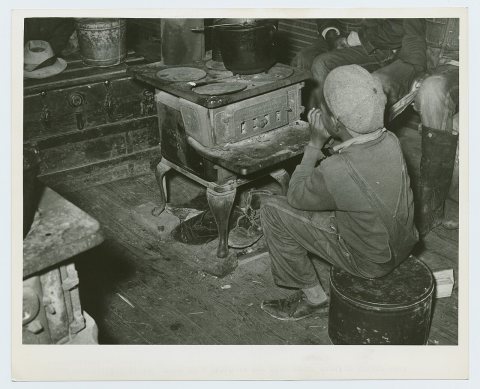 CommonsNegro boy sitting by the stove on a cold in the strawberry …1939
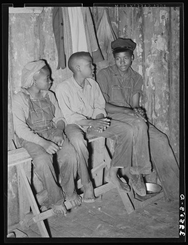 LOCYoung Negro strawberry pickers near Independence, Louisiana1939
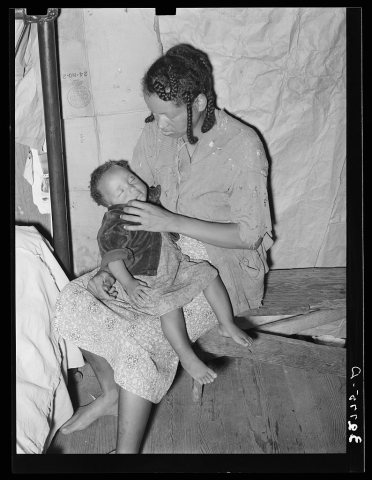 LOCNegro strawberry picker with her baby. Independence, Louisi…1939
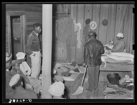 LOCScene in quarters of Negro berry pickers near Independence,…1939
1990s
1 historic place in Independence
Independence has 1 listing on the National Register, and they protect 31 historic buildings, because Independence Historic District alone counts 31.
Where they are
When they were listed
Then & now
No then-and-now pairs yet. Take a photo from the same spot as Italian cemetery (1935) and it appears here side by side.
🔁 Retake this view · +15Stories next door
nearby towns’ historyFrom Wikimedia Commons (2) and the Library of Congress (10). Images are copied here with their credits and licenses, shown on each photo’s page. Refreshed monthly.