Williamsburg’s history is
mostly unwritten
The public archives hold only 3 old photos of Williamsburg. The rest are in attics, shoeboxes and the historical society. Help start the collection.
The story
from WikipediaRead it all ↗Williamsburg was first known by early European-American settlers as the Spring Ford, after a nearby ford crossing the Cumberland River. On April 19, 1818, the first meeting of the Whitley County Court was held at Samuel Cox's dwelling. This first court appointed local officials as well as constables to work with the county militia. The town was known simply as Whitley Courthouse. In 1882, the city was renamed as Williamsburgh, and the spelling was changed in 1890 to the current Williamsburg.
The town's initial growth was fueled by three freshwater springs in the area. Settlers were attracted to this water source. They later developed coal mining and lumber industries, based on natural resources of the area.
Text from Wikipedia, licensed CC BY-SA 4.0.
Timeline
built from the dates on the items belowStart Williamsburg’s collection
The first neighbors to add old photos shape how Williamsburg’s history is told.
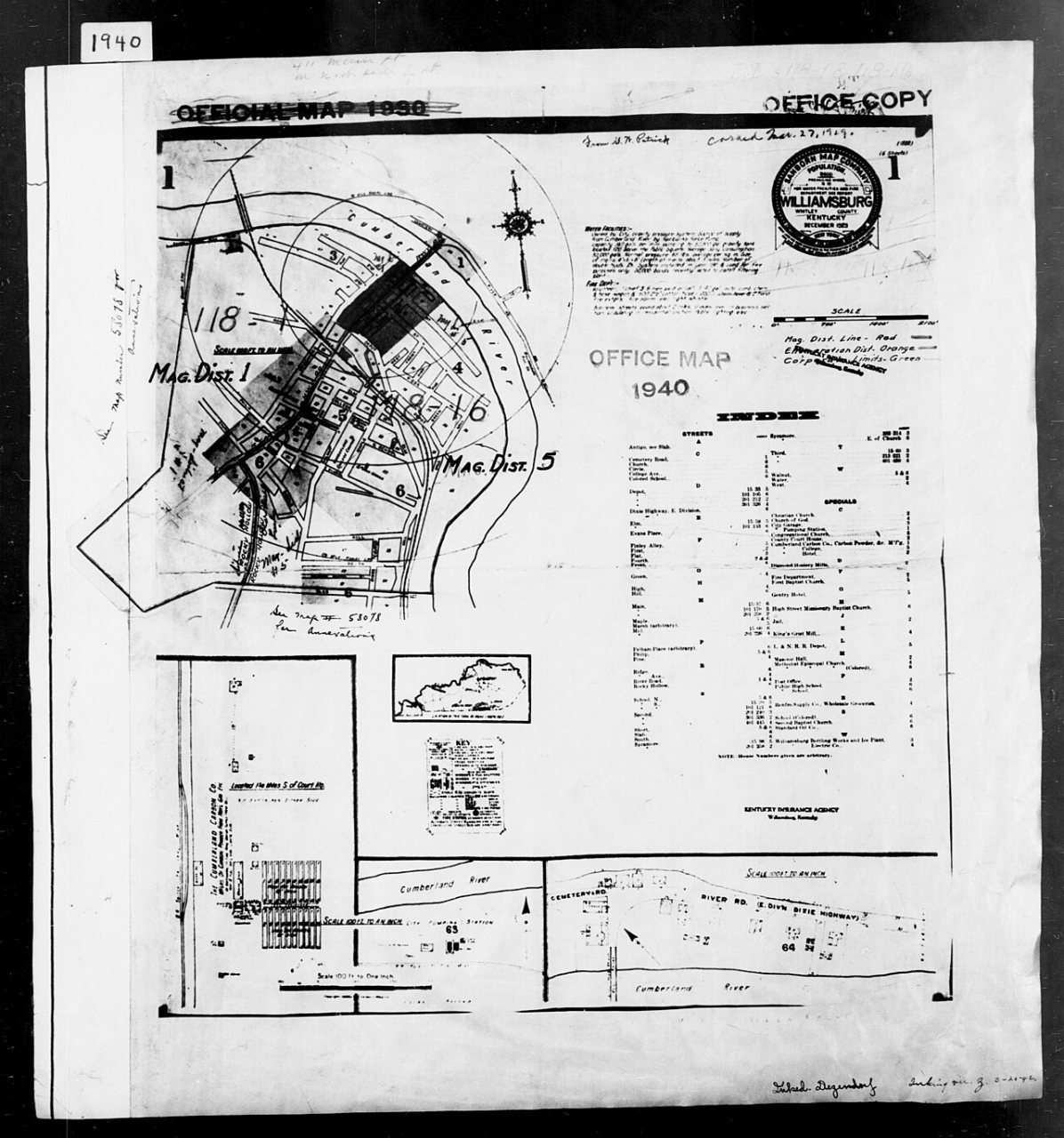
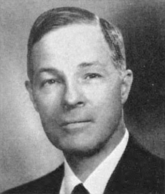
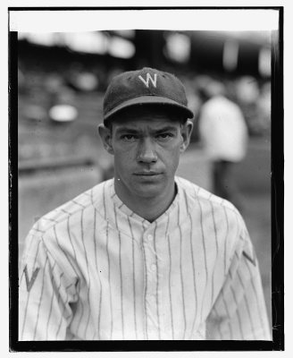
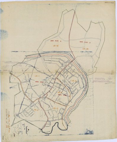
1 of 10 decades since 1900 have photos 🔁Retake an old view1940 Census Enumeration District …, 1880: stand where they stood+15 📦Share a family photoSign in to add one+10Famous people from Williamsburg
See all 8 →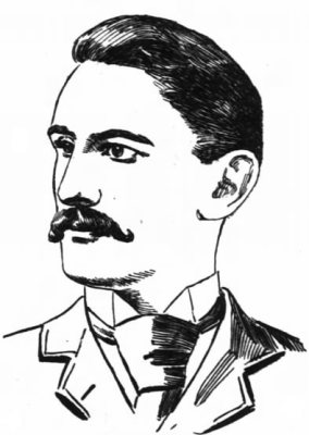

Williamsburg, decade by decade
1950s
1990s
 Commons11012013 - Williamsburg KY 162013
 Commons11012013 - Williamsburg KY 142013
 Commons11012013 - Williamsburg KY 122013
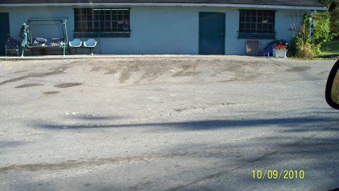 CommonsOld Perkins Store2010
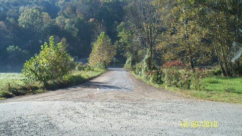 CommonsFlat Bottom Rd2010
 CommonsFindlays burned house2010
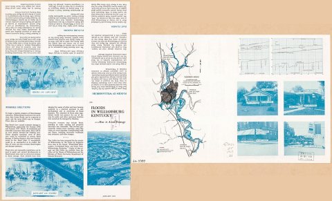
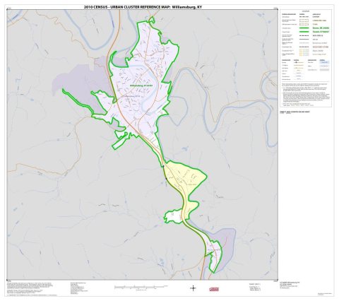 Book2010 Census Urban Cluster Reference Map for2010
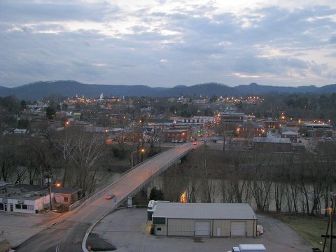 CommonsWilliamsburg, Kentucky2008
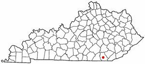 CommonsKYMap-doton-Williamsburg2004
5 historic places in Williamsburg
Williamsburg has 5 listings on the National Register, and they protect 62 historic buildings, because Williamsburg Historic District alone counts 57.
Where they are
When they were listed
Then & now
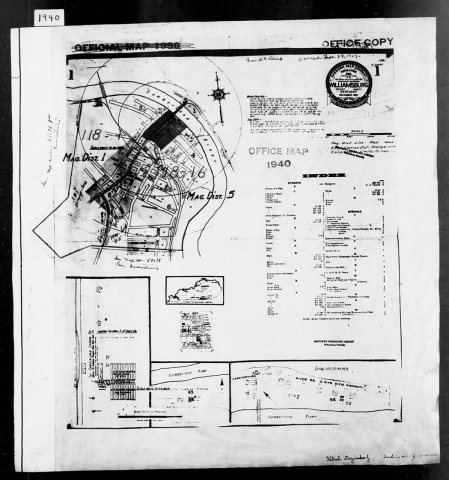
No then-and-now pairs yet. Take a photo from the same spot as 1940 Census Enumeration District Maps - Kentucky - Whitley County - Williamsburg - ED 118-1, ED 118-16 (1880) and it appears here side by side.
🔁 Retake this view · +15Stories next door
nearby towns’ historyFrom Wikimedia Commons (12). Images are copied here with their credits and licenses, shown on each photo’s page. Refreshed monthly.