The story
from WikipediaRead it all ↗Native Americans have been shown to have lived in the area for at least 15,000 years.
The vicinity was originally known by European Americans as "Bullitt's Lick" for the salt licks discovered by surveyor Capt. Thomas Bullitt in 1773. The area was home to Kentucky's first commercial salt works. These were shuttered in the 1830s because of competition from Virginian works along the Kanawha River (now in West Virginia). Shepherdsville developed around the mill and store erected along the Salt River by Adam Shepherd, who had purchased 900 acres (360 ha) in the area. The city received its charter in 1793 and was designated as the county seat when Bullitt County was formed in 1796.
Text from Wikipedia, licensed CC BY-SA 4.0.
Start Shepherdsville’s collection
The first neighbors to add old photos shape how Shepherdsville’s history is told.
0 of 10 decades since 1900 have photos 📦Share a family photoSign in to add one+10Shepherdsville, decade by decade
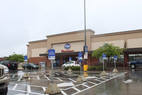
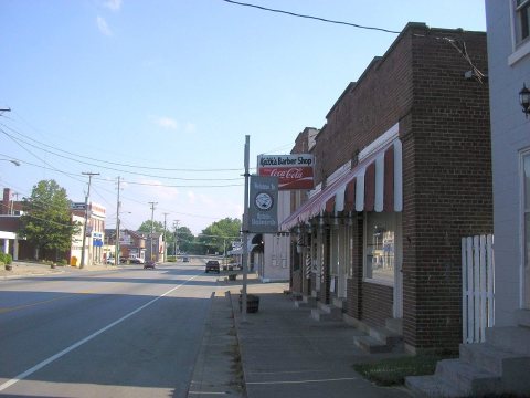
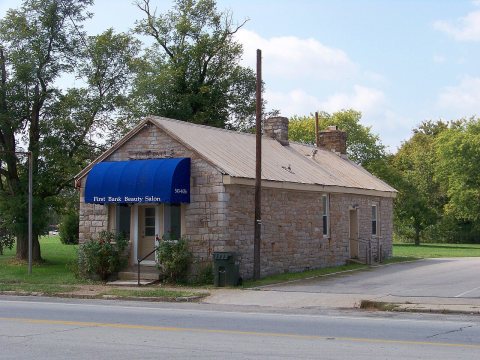
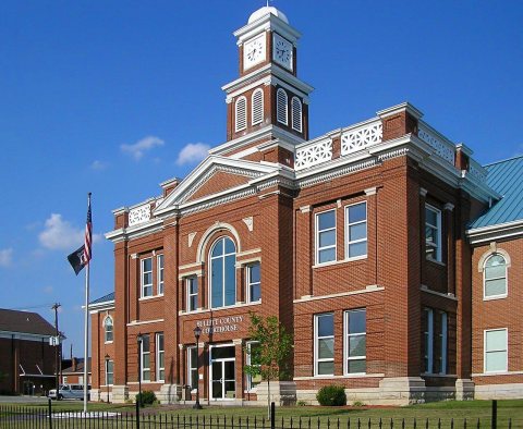
2000




Then & now
When neighbors add old photos, retakes from the same spot appear here side by side.
Historic places
National Register · via Wikidata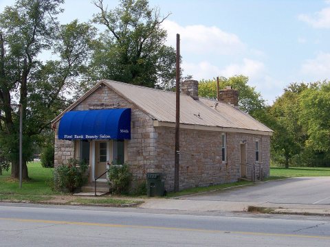
From Wikimedia Commons (9) and the National Register (1). Images are copied here with their credits and licenses, shown on each photo’s page. Refreshed monthly.