Princeton’s history is
mostly unwritten
The public archives hold only 2 old photos of Princeton. The rest are in attics, shoeboxes and the historical society. Help start the collection.
The story
from WikipediaRead it all ↗The community at the head of Eddy Creek was first called Eddy Grove for the creek's source at a large whirling spring. 1,700 acres (690 ha) of surrounding land was granted to the Virginian William Prince for his service during the American Revolution. He settled there in what was then Livingston County in 1799 and erected Shandy Hall, a brick home and tavern. Prince's heirs and another local landowner named Thomas Frazier granted 40 acres (16 ha) around Eddy Grove and Prince's Place towards the establishment of a new town in 1817, provided the courthouse of the newly formed Caldwell County was relocated there from Eddyville. The county court accepted the proposal in July and named the new community Princetown, which shortened to Princeton by the time of the Eddy Grove.
Text from Wikipedia, licensed CC BY-SA 4.0.
Timeline
built from the dates on the items belowStart Princeton’s collection
The first neighbors to add old photos shape how Princeton’s history is told.
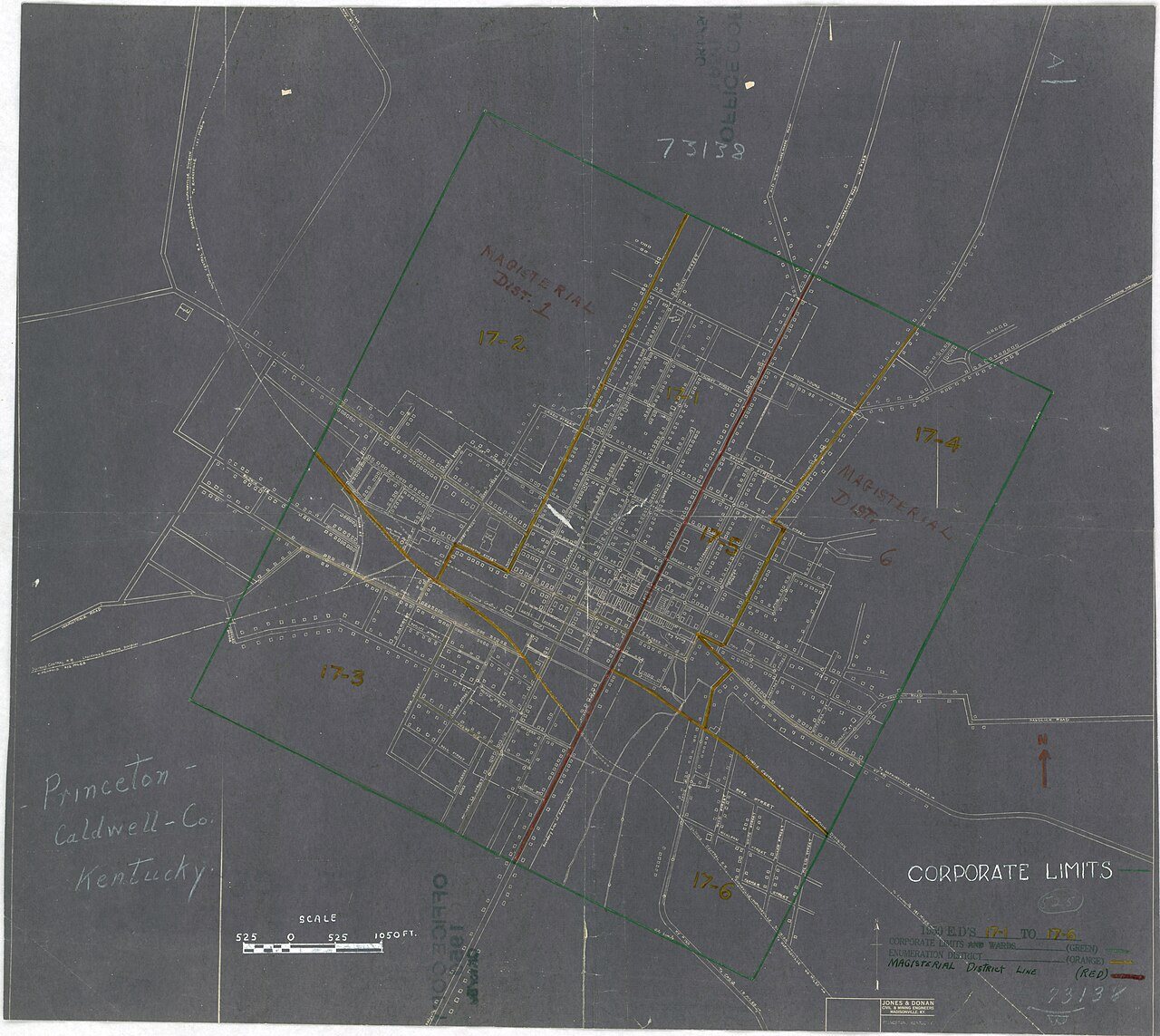
0 of 10 decades since 1900 have photos 🔁Retake an old view1940 Census Enumeration District …, 1880: stand where they stood+15 📦Share a family photoSign in to add one+10Famous people from Princeton
See all 13 →
Princeton, decade by decade
1990s
7 historic places in Princeton
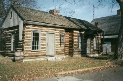
Princeton has 7 listings on the National Register, and they protect 48 historic buildings, because Princeton Downtown Commercial District alone counts 41.
Where they are
Architectural styles
When they were listed
 Listed 1973Adsmore
 Listed 1978Champion-Shepherdson House
 Listed 1988Princeton Downtown Commercial District
 Listed 1990L. B. Overby House
 Listed 1995William S. Powell House
 Listed 1999Knott HouseListed 1997Confederate Soldier Monument in Caldwell
Then & now
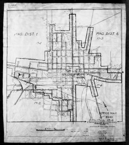
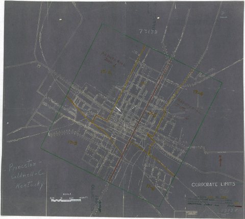
No then-and-now pairs yet. Take a photo from the same spot as 1940 Census Enumeration District Maps - Kentucky - Caldwell County - Princeton - ED 17-1, ED 17-2, ED 17-3, ED 17-4 (1880) and it appears here side by side.
🔁 Retake this view · +15Stories next door
nearby towns’ historyFrom Wikimedia Commons (5) and the National Register (1). Images are copied here with their credits and licenses, shown on each photo’s page. Refreshed monthly.