The story
from WikipediaRead it all ↗Mount Washington is located at what was once the crossroads of two stagecoach routes and was originally known as The Cross Roads. It was formally established in 1822 as Mount Vernon, after President George Washington's Virginia home, but it was unable to continue using the name because another town's post office had priority. At the time, the settlement housed c. 700 people and boasted three churches, two schools, six stores and groceries, five doctors, two taverns, and twelve mechanical trades. At the time of its (first) formal incorporation as a city in 1833, the town's name was changed to "Mount Washington", again in honor of the first United States president.
Text from Wikipedia, licensed CC BY-SA 4.0.
Start Mount Washington’s collection
The first neighbors to add old photos shape how Mount Washington’s history is told.
0 of 10 decades since 1900 have photos 📦Share a family photoSign in to add one+10Famous people from Mount Washington
See all 1 →
Mount Washington, decade by decade
2000
2 historic places in Mount Washington
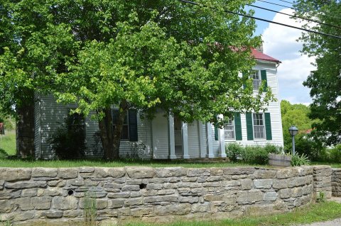
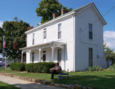
2 places in Mount Washington are on the National Register of Historic Places, the country’s official list of buildings and places worth saving.
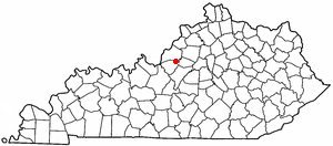
Where they are
When they were listed
Then & now
When neighbors add old photos, retakes from the same spot appear here side by side.
Stories next door
nearby towns’ historyFrom Wikimedia Commons (4) and the National Register (1). Images are copied here with their credits and licenses, shown on each photo’s page. Refreshed monthly.