Mount Sterling’s history is
mostly unwritten
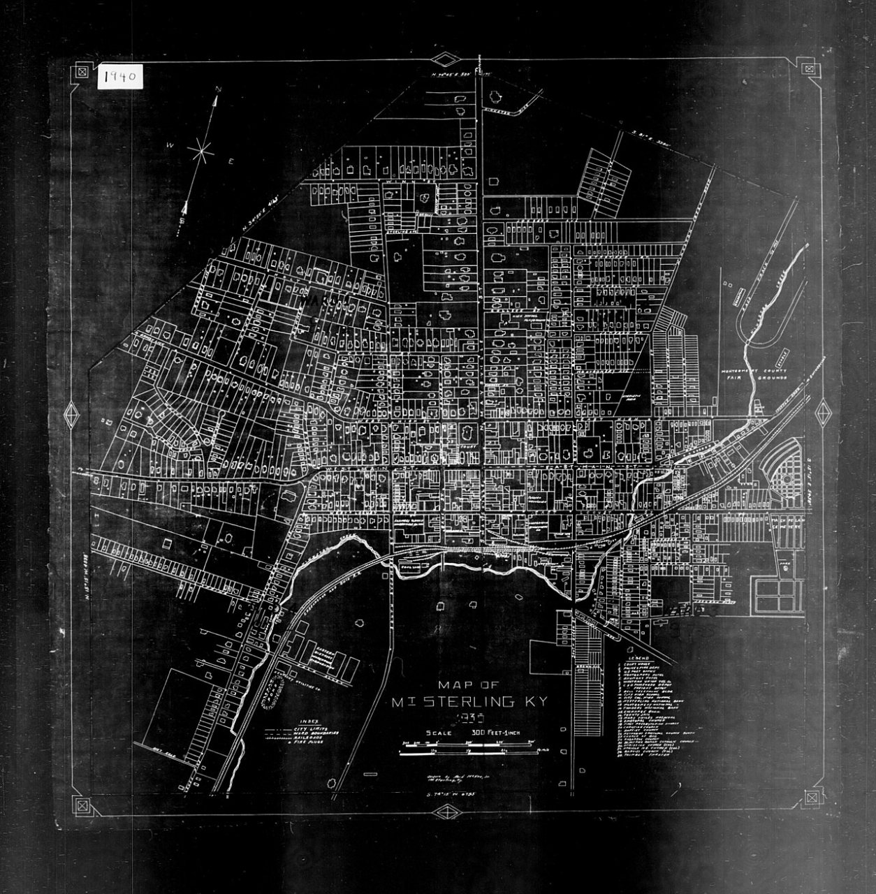
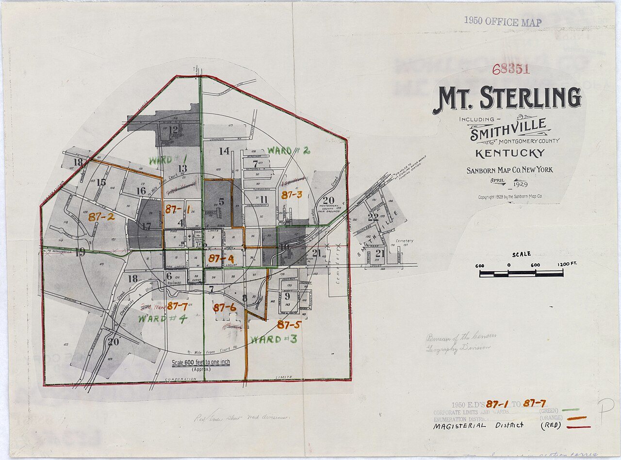
The public archives hold only 4 old photos of Mount Sterling. The rest are in attics, shoeboxes and the historical society. Help start the collection.
The story
from WikipediaRead it all ↗Mount Sterling is named for an ancient burial mound called "Little Mountain", and for the town of Stirling in Scotland. It was named by the first developer of the area, Hugh Forbes. The Kentucky Assembly passed an act in 1792 establishing the town as Mt. Sterling, a misspelling which was retained.
The area was originally part of the thick wilderness of central Kentucky. Explorers, hunters, and surveyors traveling along a trail called Old Harper's Trace noted a 125-foot-high (38 m) tree-covered mound which they called "the Little Mountain". Later excavations showed it to be a burial site. The site of the mound is now the intersection of Queen and Locust streets in Mt. Sterling.
Text from Wikipedia, licensed CC BY-SA 4.0.
Timeline
built from the dates on the items belowStart Mount Sterling’s collection
The first neighbors to add old photos shape how Mount Sterling’s history is told.
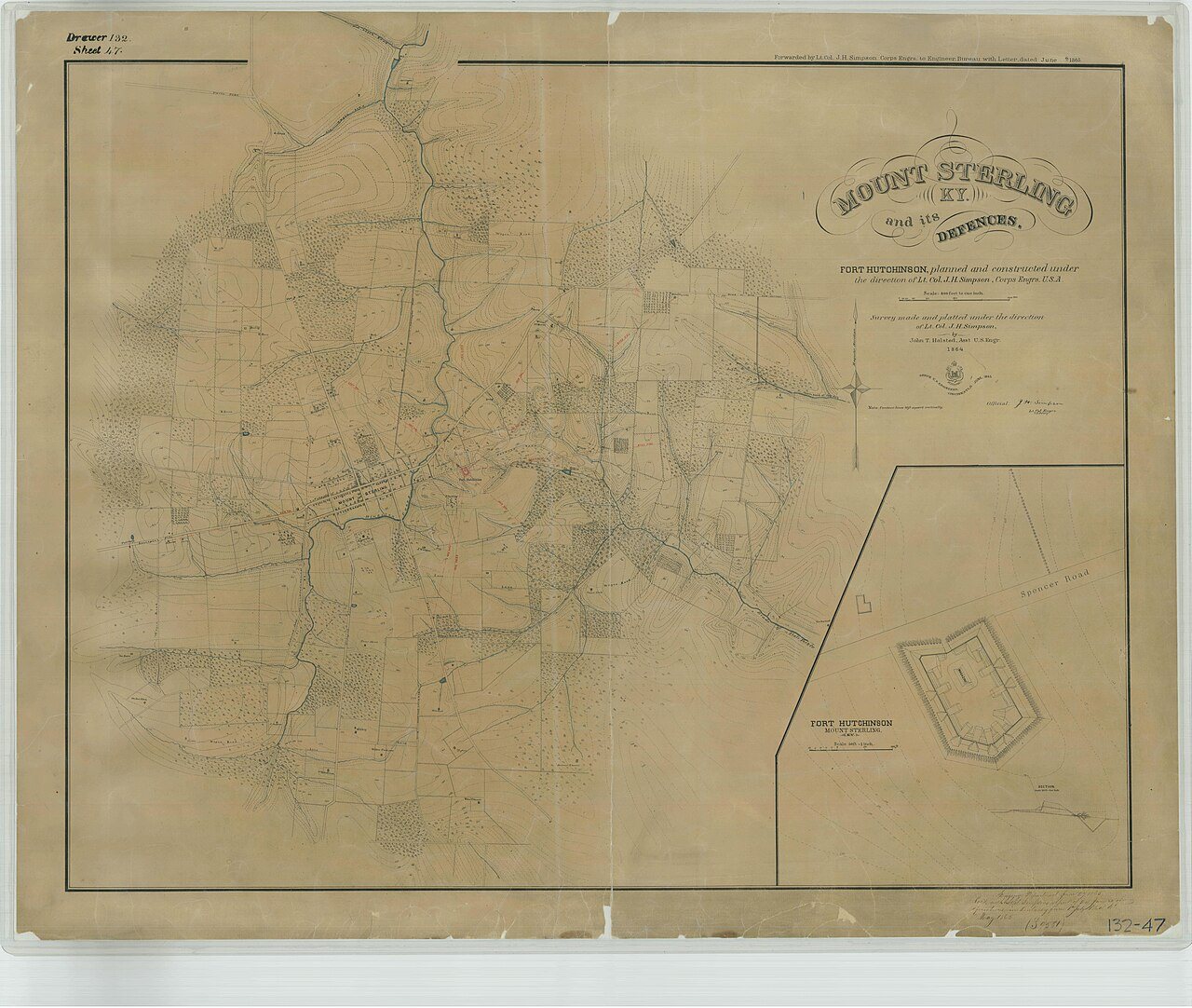
1 of 10 decades since 1900 have photos 🔁Retake an old viewMount Sterling, KY and its Defenc…, 1864: stand where they stood+15 📦Share a family photoSign in to add one+10Famous people from Mount Sterling
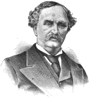
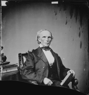
See all 18 →
Mount Sterling, decade by decade
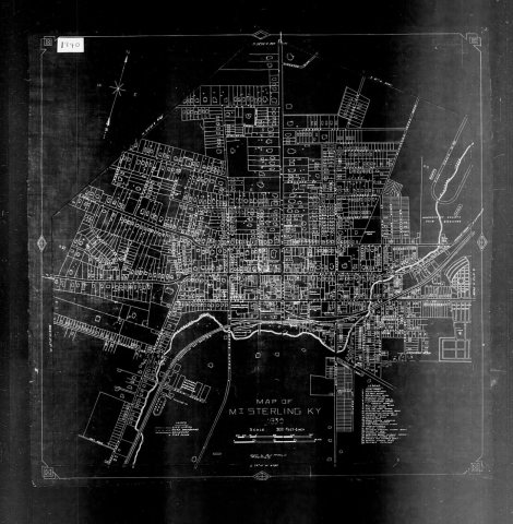
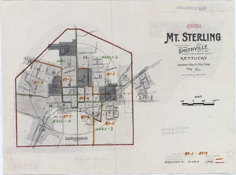
1990s
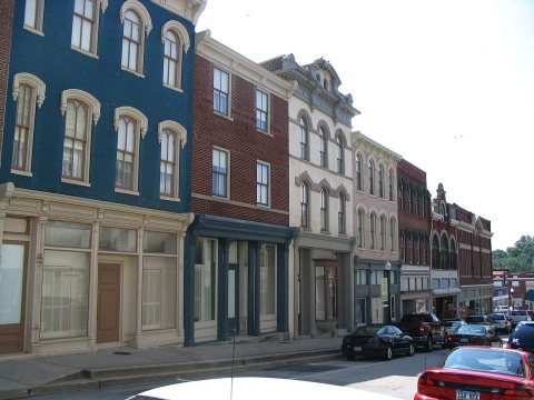
14 historic places in Mount Sterling
Mount Sterling has 14 listings on the National Register, and they protect 553 historic buildings, because Northwest Residential District alone counts 314.
Where they are
Architectural styles
When they were listed
 Listed 1979Church of the Ascension
 Listed 1980William Smith House (Name Change, Additional Documentation)
 Listed 1983KEAS Tabernacle Christian Methodist Episcopal Church
 Listed 1991Hicks, Miss Emma, Bungalow
 Listed 1991Methodist Episcopal Church South
 Listed 1991Monarch Milling Company
 Listed 1991William Chiles HouseListed 1980Mount Sterling Commercial DistrictListed 1989Northwest Residential DistrictListed 1991Chesapeake and Ohio Railroad Passenger and Baggage DepotsListed 1991East Mount Sterling Historic DistrictListed 1991Machpelah CemeteryListed 1991W. T. Fitzpatrick HouseListed 1997Confederate Monument of Mt. Sterling
Then & now
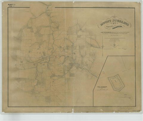
No then-and-now pairs yet. Take a photo from the same spot as Mount Sterling, KY and its Defences (1864) and it appears here side by side.
🔁 Retake this view · +15Stories next door
nearby towns’ historyFrom Wikimedia Commons (4), the Library of Congress (1) and the National Register (1). Images are copied here with their credits and licenses, shown on each photo’s page. Refreshed monthly.