Catlettsburg’s history is
mostly unwritten
The public archives hold just one old photo of Catlettsburg. The rest are in attics, shoeboxes and the historical society. Help start the collection.
The story
from WikipediaRead it all ↗Catlettsburg's history begins in the decades directly following the American Revolution, as many frontiersmen passed through the area on their western trek along the Ohio River. Alexander Catlett, the first landowner of the area, came to the site in 1798. His son, Horatio Catlett, opened a post office on December 5, 1810, with himself being the postmaster. This was the first known use of the name Catlettsburg being used officially as it had been previously known as Mouth of Sandy. In 1849, James Wilson Fry, a landowner who purchased the site from the Catlett family in 1833, sold off town lots of what was soon to be the town of Catlettsburg. (The Kentucky Encyclopedia says the Catletts settled the area in 1798.) and Catletts resided at the location until 1847. After establishing this settlement, the Catletts operated a business that consisted of a tavern, post office, trading post, and …
Text from Wikipedia, licensed CC BY-SA 4.0.
Timeline
built from the dates on the items belowStart Catlettsburg’s collection
The first neighbors to add old photos shape how Catlettsburg’s history is told.
0 of 10 decades since 1900 have photos 🔁Retake an old view1950 Census Enumeration District …, 1880: stand where they stood+15 📦Share a family photoSign in to add one+10Catlettsburg, decade by decade
1990s
Then & now
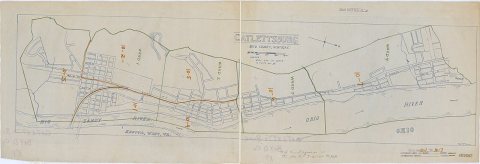
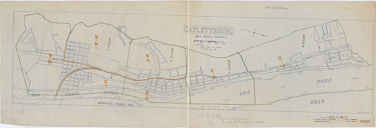
No then-and-now pairs yet. Take a photo from the same spot as 1950 Census Enumeration District Maps - Kentucky (KY) - Boyd County - Catlettsburg - ED 10-1 to 7 (1880) and it appears here side by side.
🔁 Retake this view · +15Stories next door
nearby towns’ historyFrom Wikimedia Commons (6). Images are copied here with their credits and licenses, shown on each photo’s page. Refreshed monthly.