The story
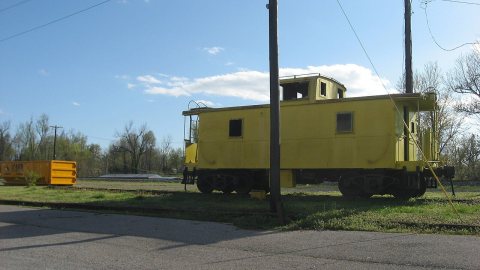
from WikipediaRead it all ↗Bardwell was founded in 1874 when a predecessor rail line of the Illinois Central Railroad was extended to that point. It may have initially been known as "Crittenden" after Governor John J. Crittenden, but that name was already in use elsewhere in the state, so the name was changed to "Bardwell." According to some sources, "Bardwell" was the name of a railroad superintendent whose name had been applied to a railroad construction camp near the town site. Other sources suggest the name was inspired by a "boarded well" at the camp.
Text from Wikipedia, licensed CC BY-SA 4.0.
Start Bardwell’s collection
The first neighbors to add old photos shape how Bardwell’s history is told.
0 of 10 decades since 1900 have photos 📦Share a family photoSign in to add one+10Famous people from Bardwell
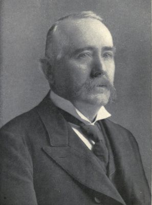
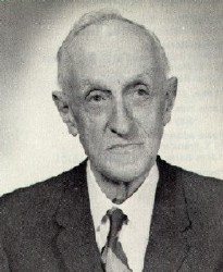
See all 4 →
Bardwell, decade by decade
2000
Then & now
When neighbors add old photos, retakes from the same spot appear here side by side.
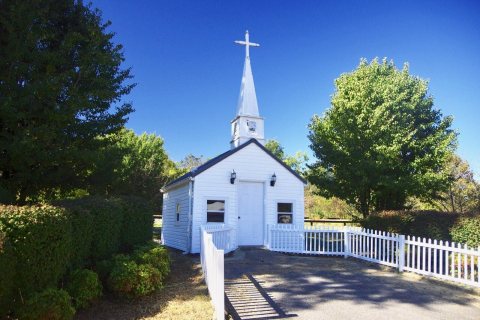
Historic places
National Register · via Wikidata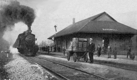
From Wikimedia Commons (3) and the National Register (1). Images are copied here with their credits and licenses, shown on each photo’s page. Refreshed monthly.