History · Seneca

A history of Seneca,
then and now

Postcards, papers and photographs of Seneca from public archives, woven together by decade. Neighbors fill in the gaps.

5old images & papers
4historic places
1recent photos
From Seneca’s archive · credits on each photo

The story

from WikipediaRead it all ↗

Seneca was founded in 1857. It was named after Seneca County, Ohio. The first post office in Seneca was established in November 1858. Seneca grew up along the wagon route from St. Joseph, Missouri to Oregon and California. British explorer Richard Francis Burton en route to California in 1860 passed through town and noted: "... Seneca, a city consisting of a few shanties ..." Seneca was a station on the Pony Express of the early 1860s. The station was located in the Smith Hotel, at the present-day location of Fourth and Main Streets. Seneca was incorporated as a city in 1870.

Text from Wikipedia, licensed CC BY-SA 4.0.

Timeline

built from the dates on the items below
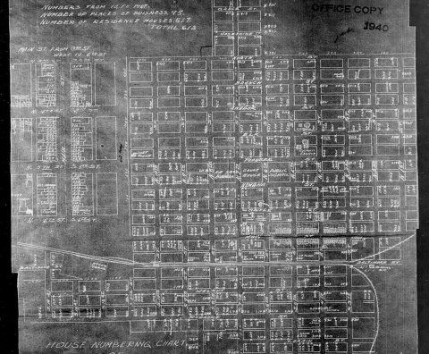
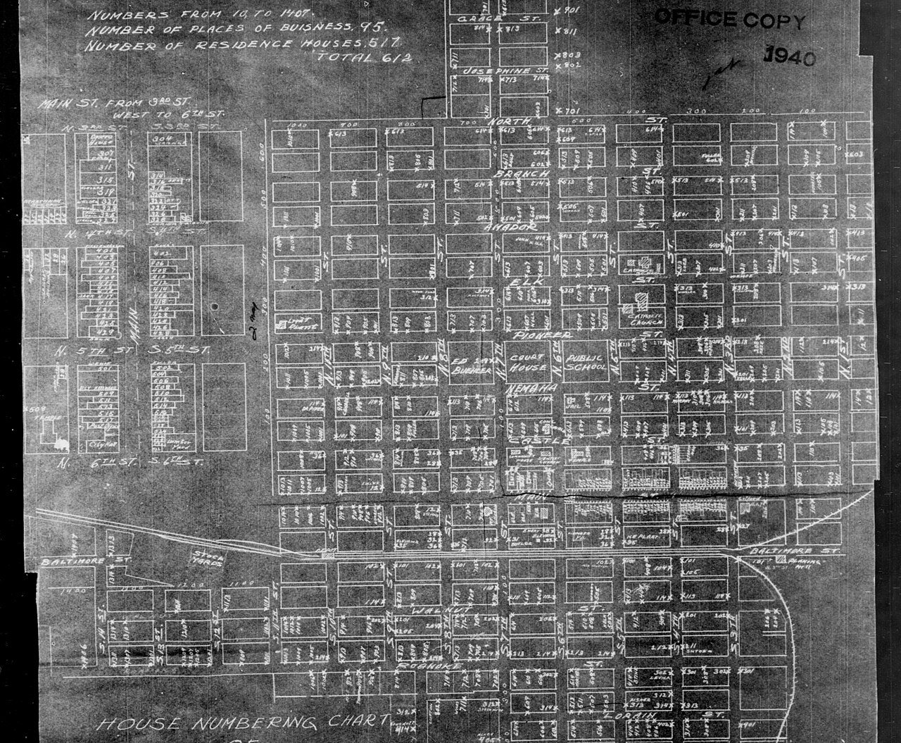
18801940 Census Enumeration District Maps - Kansas …Commons
1890–1939Nothing in the archives yet
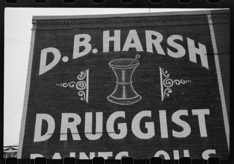
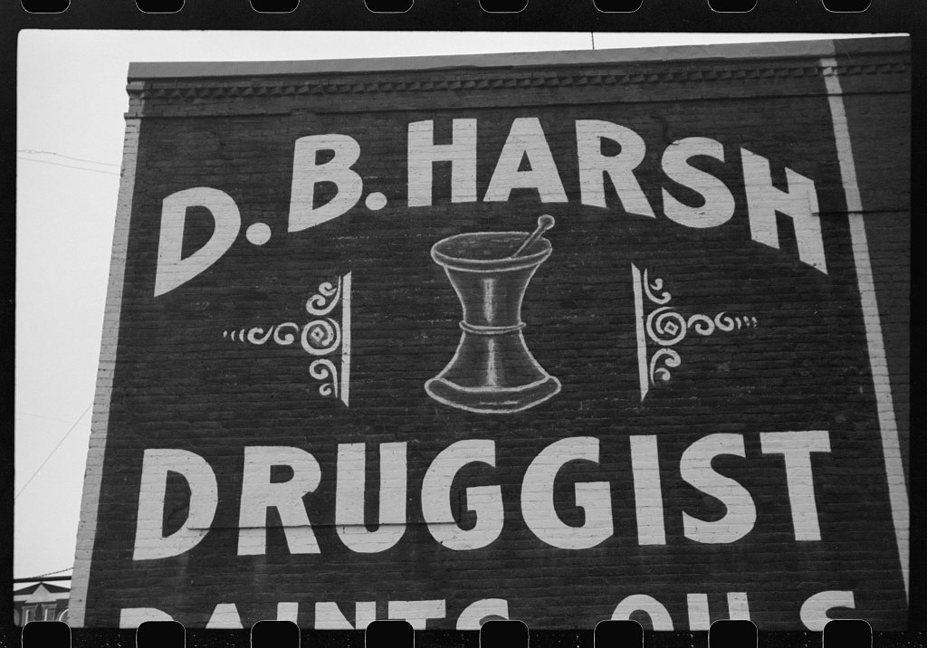
1940Drug store. Seneca, KansasLOC
1950–1979Nothing in the archives yet
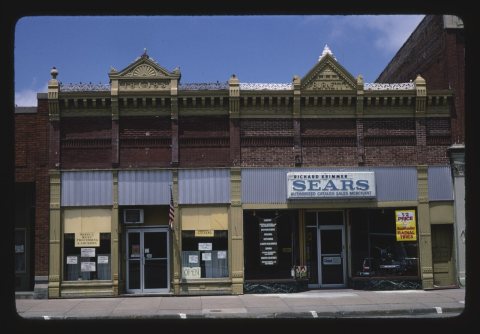
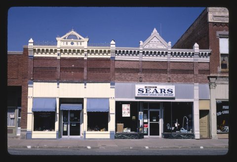
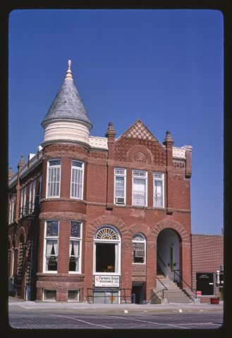
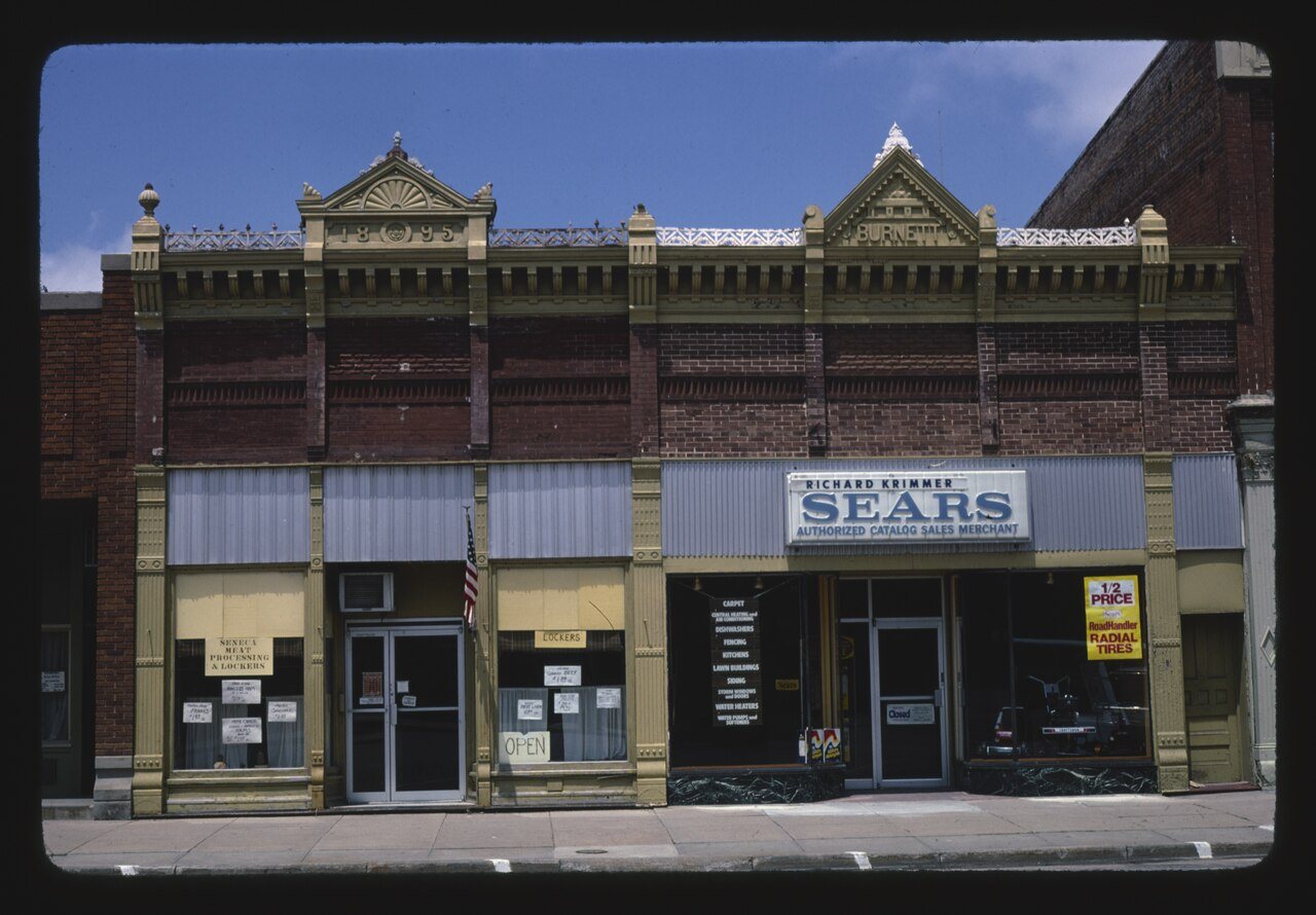
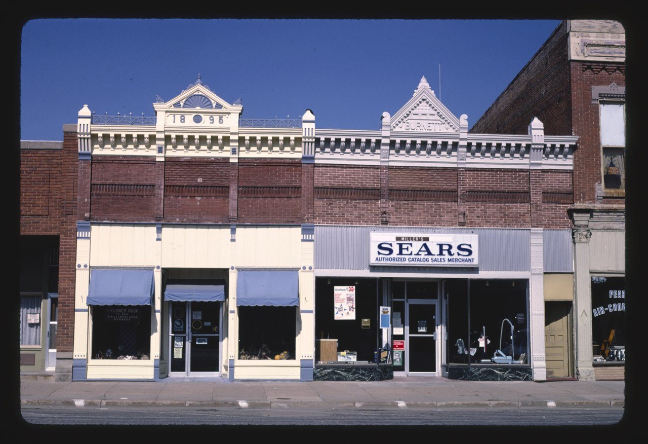
1980s3 items · StorefrontsCommons
1990–1999Nothing yet. Family albums go here.
Help out

Finish Seneca’s story

Most archives stop around 1920. The photos from after that are in family albums, not libraries.

2 of 10 decades since 1900 have photos 🔁Retake an old view1940 Census Enumeration District …, 1880: stand where they stood+15 📦Share a family photoSign in to add one+10

Famous people from Seneca

See all 10 →
By decade

Seneca, decade by decade

1890s–
1930s
Nothing in the archives for these yearsWeddings on Main Street, storms, parades, school pictures, the old store. If it’s in your family album, it belongs here.
📷 Add from your album
1950s–
1970s
Nothing in the archives for these yearsWeddings on Main Street, storms, parades, school pictures, the old store. If it’s in your family album, it belongs here.
📷 Add from your album
1990s–
1990s
Nothing in the archives for these yearsWeddings on Main Street, storms, parades, school pictures, the old store. If it’s in your family album, it belongs here.
📷 Add from your album
National Register of Historic Places

4 historic places in Seneca

Seneca has 4 listings on the National Register, and they protect 42 historic buildings, because Seneca Main Street Historic District alone counts 40.

#51
In Kansasby listings · most towns there have none
4places listed2 buildings · 1 district · 1 other
0National Historic LandmarksNone here yet
42historic buildings protectedcounting each building in a district
1989first listedUS Post Office-Seneca · newest: Hand-Dug City Water Well, 2007

Where they are

Tap a dot for a photo and link. Districts show at their center.
BuildingsDistrictsStructures

When they were listed

The Register began in 1966. Seneca’s busiest decade was the 2000s.
National Park Service, National Register of Historic Places (05/22/2026) · styles from the National Archives catalog · photos from Wikimedia Commons, credited on each place

Then & now

No then-and-now pairs yet. Take a photo from the same spot as 1940 Census Enumeration District Maps - Kansas - Nemaha County (1880) and it appears here side by side.

🔁 Retake this view · +15

Stories next door

nearby towns’ history

From Wikimedia Commons (5) and the Library of Congress (1). Images are copied here with their credits and licenses, shown on each photo’s page. Refreshed monthly.

The coffee’s on

Where to, neighbor?

You’re in Seneca, KSView boundary

Nearby

All towns & citiesExplore the map
Loading boundary…

Seneca is your selected town. The feed includes posts assigned to this town, not a distance radius or ZIP code.

Neighborhoods narrow the feed further, while townwide announcements, events, and issues remain visible.

Boundary source: https://tigerweb.geo.census.gov/arcgis/rest/services/TIGERweb/Places_CouSub_ConCity_SubMCD/MapServer/18 · 2025-01-01