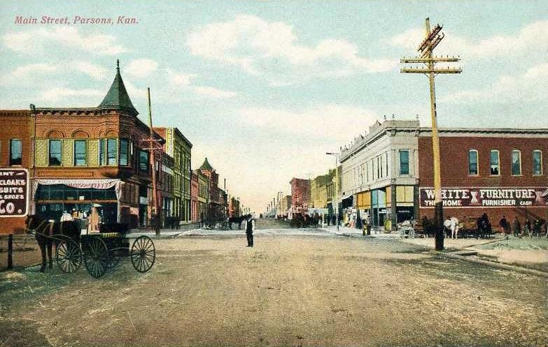
A history of Parsons,
since 1870
Postcards, papers and photographs of Parsons from public archives, woven together by decade. Neighbors fill in the gaps.
The story
from WikipediaRead it all ↗Parsons was named after Levi Parsons, president of the Missouri-Kansas-Texas (Katy) Railroad. The town was founded in 1870 and incorporated the following year by the railroad. The location for the town was chosen because it was on a flat ridge between the Labette Creek and Little Labette Creek and provided an ideal site for where the two branches of the railroad being built from Junction City, Kansas and Sedalia, Missouri would meet. The creeks were soon dammed to provide a water source. The railroad commenced building a massive rail yard, foundry, and locomotive shop at Parsons; for many years this was the third largest railroad facility west of the Mississippi River, with only Kansas City and Los Angeles being larger. Settlers from nearby towns uprooted and moved to Parsons, and new settlers arrived on every incoming train. Parsons soon became a major hub for several railroads, inclu…
Text from Wikipedia, licensed CC BY-SA 4.0.
Timeline
built from the dates on the items belowFinish Parsons’s story
Most archives stop around 1920. The photos from after that are in family albums, not libraries.
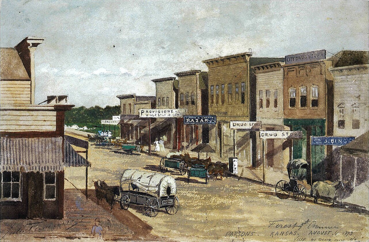
1 of 10 decades since 1900 have photos 🔁Retake an old viewParsons, Kansas, Forest & First A…, 1873: stand where they stood+15 📦Share a family photoSign in to add one+10Parsons, decade by decade
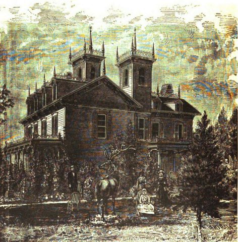
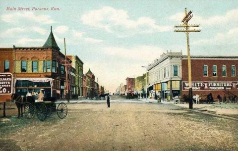
1990s
4 historic places in Parsons
4 places in Parsons are on the National Register of Historic Places, the country’s official list of buildings and places worth saving.
Where they are
When they were listed
 Listed 1976Carnegie Library
 Listed 2015Parsonian Hotel, TheListed 2008Parsons Katy HospitalListed 2024Oakwood Cemetery
Then & now
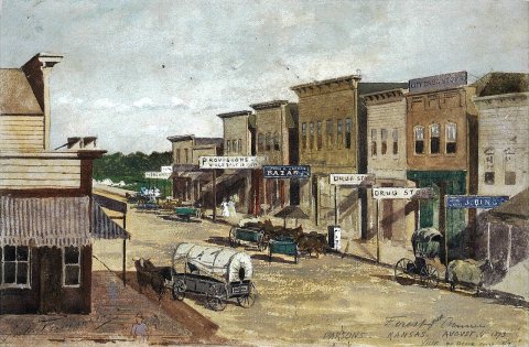
No then-and-now pairs yet. Take a photo from the same spot as Parsons, Kansas, Forest & First Avenuelabel QS:Len,"Parsons, Kansas, Forest & First Avenue" (1873) and it appears here side by side.
🔁 Retake this view · +15From Wikimedia Commons (3), the Library of Congress (2) and the National Register (1). Images are copied here with their credits and licenses, shown on each photo’s page. Refreshed monthly.