The story
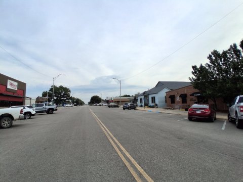
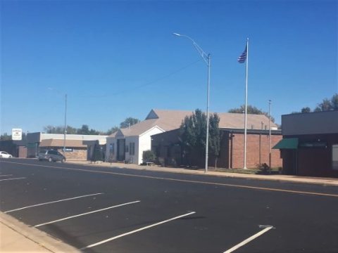
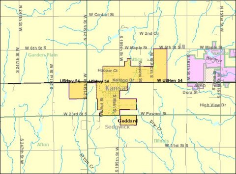
from WikipediaRead it all ↗In 1883, Ezekiel Wilder purchased farmland on the planned railway of the Atchison, Topeka, and Santa Fe Railway south of Blendon, Kansas, approximately 10 miles (16 km) west of Wichita. There, he established the town of Goddard in honor of J. F. Goddard, former third vice-president of the ATSF Railway. The railroad reached Goddard in 1884, and a post office was established there the same year. Several buildings were relocated from Blendon, including the town hall and the planned Methodist church. Goddard was officially incorporated in 1910.
On June 23, 1969, an F4 tornado struck Goddard. No fatalities occurred, but six people were injured.
Text from Wikipedia, licensed CC BY-SA 4.0.
Start Goddard’s collection
The first neighbors to add old photos shape how Goddard’s history is told.
0 of 10 decades since 1900 have photos 📦Share a family photoSign in to add one+10Famous people from Goddard
See all 3 →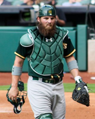
Goddard, decade by decade
2000
Then & now
When neighbors add old photos, retakes from the same spot appear here side by side.
Stories next door
nearby towns’ historyFrom Wikimedia Commons (5). Images are copied here with their credits and licenses, shown on each photo’s page. Refreshed monthly.