Burns

What’s happening
Weather
Forecast →Upcoming events
Put the next local happening — a market, a meeting, a concert — on the map.
Local news
Loading local headlines…
Headlines via Google News · Articles belong to their publishers.
The Burns album
About Burns
City in Marion County, KansasBurns is a city in Marion County, Kansas, United States. As of the 2020 census, the population of the city was 234. The city name came from a nearby train station, which was named prior to the city being incorporated. It is located between El Dorado and Florence along the west side of U.S. Route 77 highway. The southern edge of the city is the border between Marion and Butler counties.
From Wikipedia, licensed CC BY-SA 4.0 · facts via Wikidata (CC0)
Town numbers
Housing in Burns
The typical Burns home is worth about $210,000, up 9.8% in a year, 16% below the Kansas typical home.
Work & commute in Burns
Full picture →Most working residents leave Burns for work: only 1% work in town. The top destinations are Wichita (13%), Newton (12%) and Goessel (9%). Half commute less than 27 miles.
Health in Burns
Compared with Kansas
of 32 measures CDC estimates. The other 31 are too close to call.
What stands out
Care nearby
Natural hazards in Burns
Expected storm and flood damage is higher than in 71% of U.S. communities.
Climate in Burns
Full climate →Burns has chilly winters and warm summers. A typical July afternoon reaches 91°, a January night drops to 21°, and about 9 inches of snow falls in a normal winter.
Burns’s library
Library details →Where Burns is
Explore map →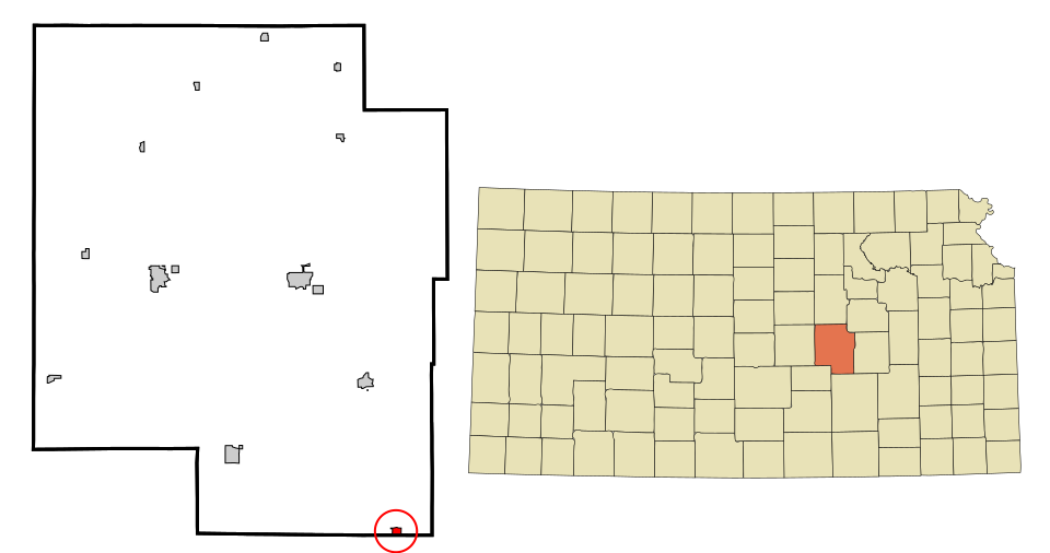

Location map