The story
from WikipediaRead it all ↗In July 1854, John W. Brown came to this area and found it highly suitable for a homestead. He acquired 800 acres (3.2 km2) through bartering with local Indians and later returned home to Missouri to tell his family and friends about the area, some of whom returned with him. In 1856, Mr. Brown, along with M. C. Dickey, Loring Farnsworth and Henry Fox pre-empted 320 acres (1.3 km2) for the purpose of a town. They christened it Brownville, although it was changed in 1857 to its present name of "Auburn" due to the fact there was another settlement with the same name. This was before the introduction of postal codes. It was located on the California Road and work began at once on the many buildings needed in a town of Brownville's size. Two daily stage lines brought mail and people to the town and business was very good.
Text from Wikipedia, licensed CC BY-SA 4.0.
Start Auburn’s collection
The first neighbors to add old photos shape how Auburn’s history is told.
0 of 10 decades since 1900 have photos 📦Share a family photoSign in to add one+10Famous people from Auburn
See all 2 →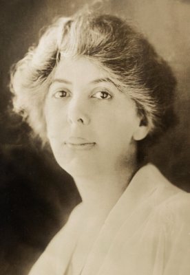
Auburn, decade by decade
2000
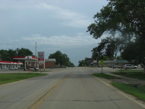
1 historic place in Auburn
1 place in Auburn is on the National Register of Historic Places, the country’s official list of buildings and places worth saving.
Where they are
When they were listed
Then & now
When neighbors add old photos, retakes from the same spot appear here side by side.
Stories next door
nearby towns’ historyFrom Wikimedia Commons (1). Images are copied here with their credits and licenses, shown on each photo’s page. Refreshed monthly.