The story
from WikipediaRead it all ↗Orestes was founded in 1876 when the railroad was extended to that point. Orestes was incorporated as a town in 1894.
Orestes was a little village known as "Lowrys Switch" until the town board decided to change the name and ask for suggestions for the name. Nathan McMahan sent in his son's name and upon its acceptance, the town became known as Orestes. Orestes McMahan was born on Christmas Day, 1876, and died September 14, 1946. He was a farmer all his life and never married.
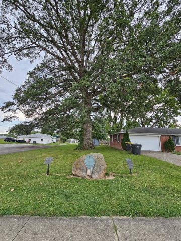
Orestes is home to an oak tree that is estimated to be at least 350 years old. For many years the town hosted an annual Oak Tree Festival. It is also home to a Red Gold Tomatoes canning plant.
Text from Wikipedia, licensed CC BY-SA 4.0.
Start Orestes’s collection
The first neighbors to add old photos shape how Orestes’s history is told.
0 of 10 decades since 1900 have photos 📦Share a family photoSign in to add one+10Famous people close to Orestes
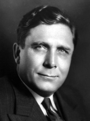
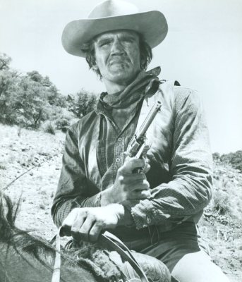
See all 18 →


Orestes, decade by decade
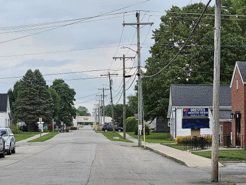
2000

Nothing in Orestes is on the National Register yet
That’s true of most small towns. It doesn’t mean Orestes has no history, only that no one has written up a nomination. The closest listed place is Elwood Downtown Historic District in Elwood, 6.2 miles away.
Orestes and the nearest listed places
Closest to Orestes
How a place gets listed
Then & now
When neighbors add old photos, retakes from the same spot appear here side by side.
Stories next door
nearby towns’ historyFrom Wikimedia Commons (4). Images are copied here with their credits and licenses, shown on each photo’s page. Refreshed monthly.