
Nappanee’s history is
mostly unwritten
The public archives hold only 4 old photos of Nappanee. The rest are in attics, shoeboxes and the historical society. Help start the collection.
The story
from WikipediaRead it all ↗Several hundred years ago, the indigenous Mound Builders built their settlements in an area to the north of the city's marshes. Pottawatomi arrived in the area from near Green Bay, Wisconsin in the 1700s, partially displacing the previous Miami inhabitants. The Pottawatomis had settlements on the Elkhart River at Elkhart, Goshen, and Waterford, and at Monoquet between Leesburg and Warsaw in what became Kosciusko County, Indiana. Thus, the Plymouth-Goshen Road near Nappanee probably follows the course of an old Indian Trail. The first European settlers came to the area in 1830, as various treaties and a process the Pottawatomi call the "Trail of Death" led to the relocation of Native Americans away from their traditional territories.
Text from Wikipedia, licensed CC BY-SA 4.0.
Start Nappanee’s collection
The first neighbors to add old photos shape how Nappanee’s history is told.
0 of 10 decades since 1900 have photos 🗓️Date a photo4 archive items have no date+2 🔁Retake an old viewBremen-lake-indiana: stand where they stood+15 📦Share a family photoSign in to add one+10Famous people from Nappanee
See all 4 →
Nappanee, decade by decade
2000
unknown4 items
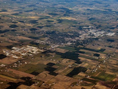

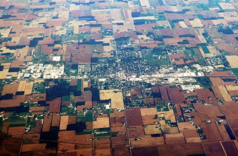 CommonsAerial view of Nappanee, Indiana, October 20242024
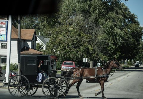 LOCAmish people such as this woman in a horse-drawn buggy are …2016
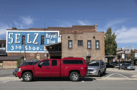 LOCA strikingly red small truck provides a stark contrast to t…2016
 LOCA family-style downtown mural welcomes visitors to Nappanee…2016
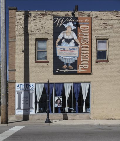 LOCOld-style directional sign to Coppes Corridor (also called …2016
 LOCArtist Kerri S. Bash's sculpture, "Plant a Seed," greets pa…2016
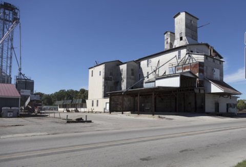 LOCThe Nappanee Farm Service grain elevator2016
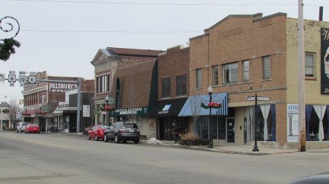 CommonsSouth Main St 3-13-14 0242014
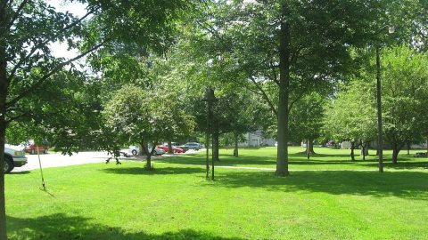 CommonsNappanee West Park2013
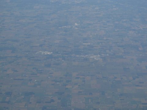 CommonsNappanee, Indiana2012
 CommonsAntique Mall PA2701872011
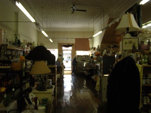 CommonsAntique Mall PA2701862011
7 historic places in Nappanee
Nappanee has 7 listings on the National Register, and they protect 176 historic buildings, because Nappaness Eastside Historic District alone counts 138.
Where they are
When they were listed
Then & now
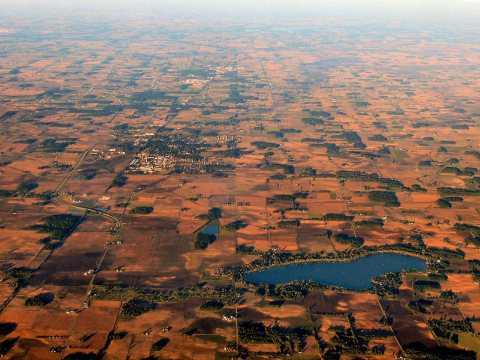
No then-and-now pairs yet. Take a photo from the same spot as Bremen-lake-indiana and it appears here side by side.
🔁 Retake this view · +15Stories next door
nearby towns’ historyFrom Wikimedia Commons (10), the Library of Congress (6) and the National Register (1). Images are copied here with their credits and licenses, shown on each photo’s page. Refreshed monthly.