Indianapolis’s history is
mostly unwritten
The public archives hold only 3 old photos of Indianapolis. The rest are in attics, shoeboxes and the historical society. Help start the collection.
The story
from WikipediaRead it all ↗In 1816, the year Indiana gained statehood, U.S. Congress designated four sections of land in central Indiana as the future seat of state government, contingent on tribal removal. Under the Treaty of St. Mary's (1818), the Delaware and Miami nations relinquished title to these designated lands, with agreement to vacate by 1821. This tract of land, which was called the New Purchase, included the site selected for the new state capital in 1820. The indigenous people of the land prior to systematic removal are the Miami Nation of Indiana (Miami Nation of Oklahoma) and Indianapolis makes up part of Cession 99; the primary treaty between the indigenous population and the United States was the Treaty of St. Mary's in 1818.
Text from Wikipedia, licensed CC BY-SA 4.0.
Timeline
built from the dates on the items belowStart Indianapolis’s collection
The first neighbors to add old photos shape how Indianapolis’s history is told.
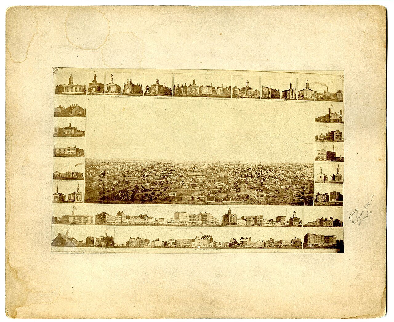
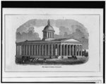
0 of 10 decades since 1900 have photos 🔁Retake an old viewAerial view of Indianapolis, 1854, 1854: stand where they stood+15 📦Share a family photoSign in to add one+10Indianapolis, decade by decade
Then & now
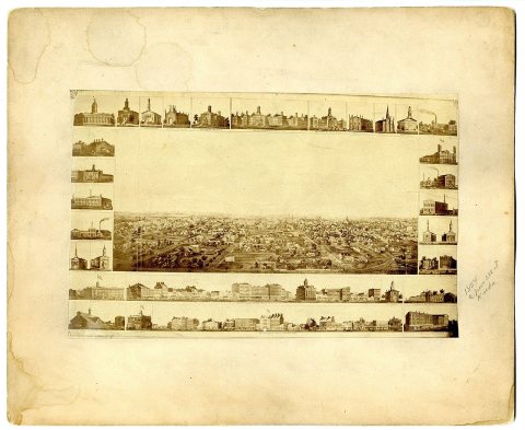
No then-and-now pairs yet. Take a photo from the same spot as Aerial view of Indianapolis, 1854 (1854) and it appears here side by side.
🔁 Retake this view · +15Historic places
National Register · via Wikidata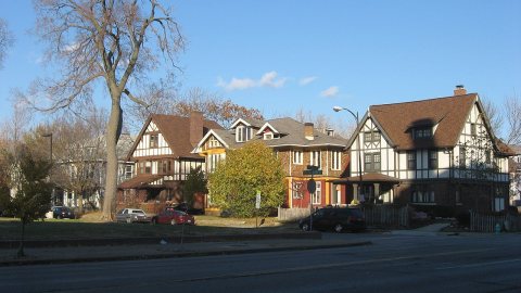
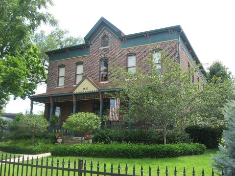
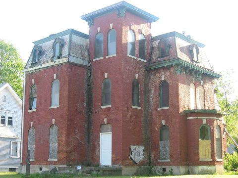
From Wikimedia Commons (2), the Library of Congress (1) and the National Register (3). Images are copied here with their credits and licenses, shown on each photo’s page. Refreshed monthly.