The story
from WikipediaRead it all ↗Franklin was platted in 1823. It was named after Benjamin Franklin. The Franklin post office was established in 1824. Franklin was incorporated as a city in 1861.
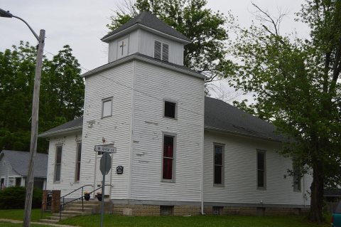
Bethel African Methodist Episcopal Church, Franklin College Library (Shirk Hall), Franklin College-Old Main, Franklin Commercial Historic District, Franklin Senior High School, Greenlawn Cemetery, Herriott House, Johnson County Courthouse Square, Martin Place Historic District, Masonic Temple, and August Zeppenfeld House are listed on the National Register of Historic Places.
Text from Wikipedia, licensed CC BY-SA 4.0.
Timeline
built from the dates on the items belowStart Franklin’s collection
The first neighbors to add old photos shape how Franklin’s history is told.
0 of 10 decades since 1900 have photos 🗓️Date a photo1 archive item has no date+2 📦Share a family photoSign in to add one+10Famous people from Franklin
See all 30 →

Franklin, decade by decade
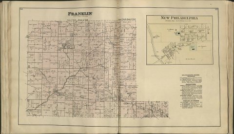
![Map of Shelby & Johnson Counties, Indiana [map] : [city plans] from actual surveys / by A. Warner](https://images.towntapestry.org/story/21779/178ce265aab010082df5-s.jpg)
unknown1 item
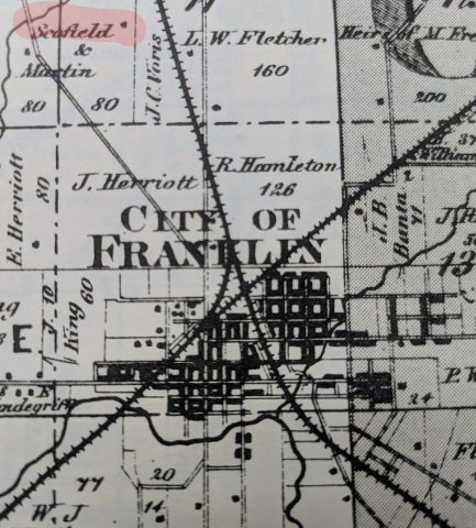 CommonsScofield Property2026
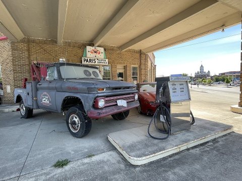 CommonsParis Super Service - June 2022 - Sarah Stierch2022
 CommonsGummy bear in Franklin, Indiana - June 2022 - Sarah Stierch2022
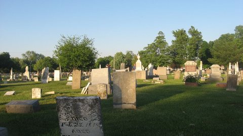 CommonsGreenlawn Cemetery in2013
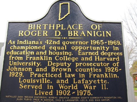 CommonsBirthplace of Roger D. Branigin2010
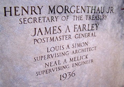 CommonsFranklinIN-1936POcornerstone2009
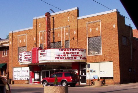 CommonsArtcraft Theatre in2008
 CommonsTractor Supply Company in2006
 CommonsCentury 21 real estate sign in2006
Then & now
When neighbors add old photos, retakes from the same spot appear here side by side.
Historic places
National Register · via Wikidata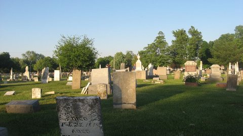
From Wikimedia Commons (12) and the National Register (2). Images are copied here with their credits and licenses, shown on each photo’s page. Refreshed monthly.