Dunreith’s history is
mostly unwritten
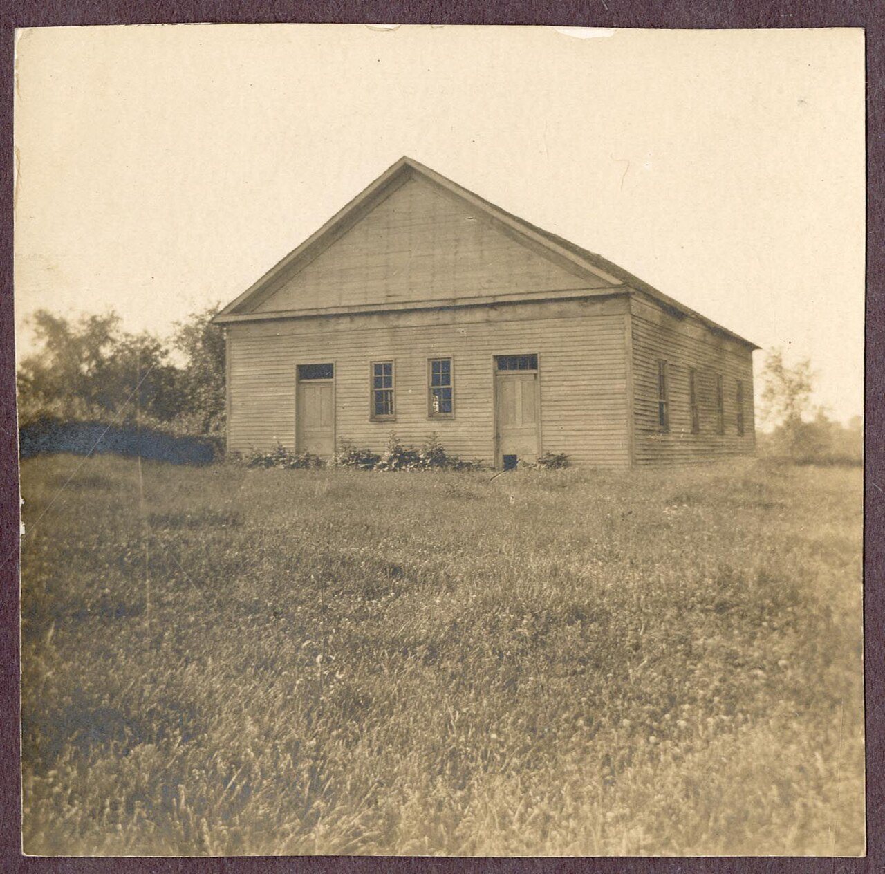
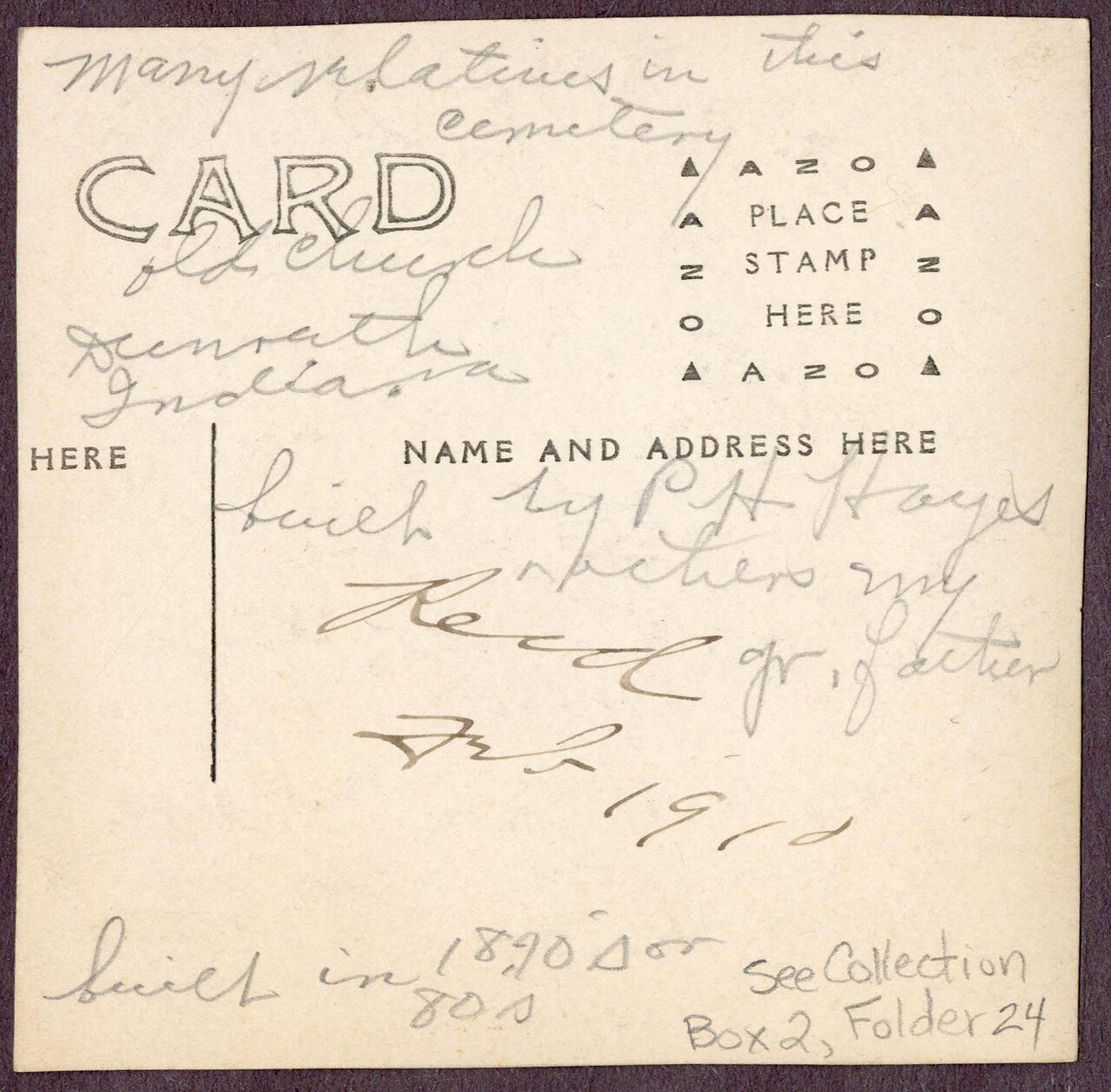
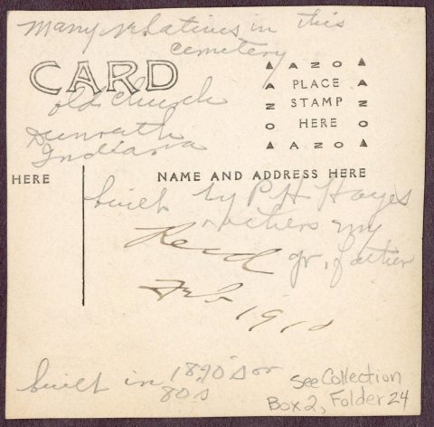
The public archives hold only 3 old photos of Dunreith. The rest are in attics, shoeboxes and the historical society. Help start the collection.
The story
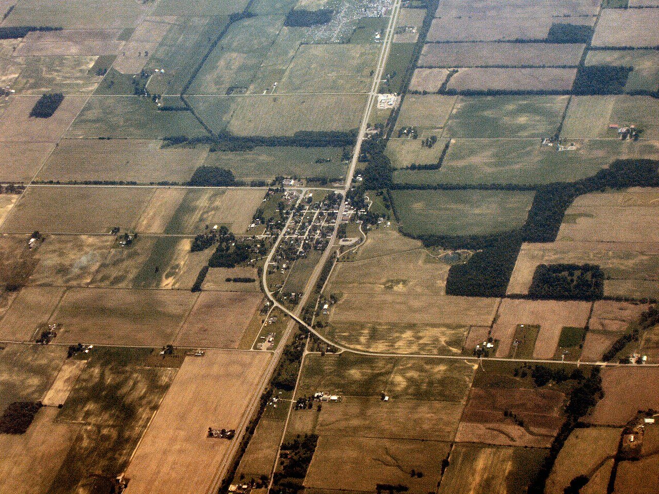
from WikipediaRead it all ↗Dunreith was originally called Coffin's Station, and under the latter name was platted in 1865 by Emery Dunreith Coffin.
In 1968, 250 residents of Dunreith had to be evacuated for 48 hours after two freight trains sideswiped, releasing flammable and poisonous liquids that resulted in a major fire and a huge explosion. The fire destroyed a cannery and seven houses; cyanide pollution of the water persisted for several months.
Text from Wikipedia, licensed CC BY-SA 4.0.
Start Dunreith’s collection
The first neighbors to add old photos shape how Dunreith’s history is told.
0 of 10 decades since 1900 have photos 🗓️Date a photo3 archive items have no date+2 🔁Retake an old viewDunreith-indiana-from-above: stand where they stood+15 📦Share a family photoSign in to add one+10Famous people from Dunreith
See all 2 →
Dunreith, decade by decade
2000
Nothing in Dunreith is on the National Register yet
That’s true of most small towns. It doesn’t mean Dunreith has no history, only that no one has written up a nomination. The closest listed place is Center Township Grade and High School in Center, 4.2 miles away.
Dunreith and the nearest listed places

How a place gets listed
Then & now
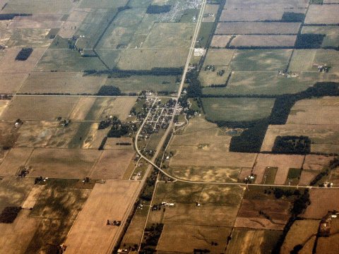
No then-and-now pairs yet. Take a photo from the same spot as Dunreith-indiana-from-above and it appears here side by side.
🔁 Retake this view · +15Stories next door
nearby towns’ historyFrom Wikimedia Commons (3). Images are copied here with their credits and licenses, shown on each photo’s page. Refreshed monthly.