Corydon’s history is
mostly unwritten
The public archives hold only 3 old photos of Corydon. The rest are in attics, shoeboxes and the historical society. Help start the collection.
The story
from WikipediaRead it all ↗During the American Revolution, George Rogers Clark captured the surrounding area of what became the town of Corydon from the British, bringing it under the control of the fledgling United States government. The first American settlers entered Harrison County in 1792 and included the families of Harvey Heth and Squire Boone, who settled south of Corydon, and Dennis Pennington and the Harbisons, who settled east of Corydon. The region was in the midst of the Northwest Indian War during that period and the families were forced by Native Americans to leave the region and return to Kentucky. The families returned to the area in 1800 following the creation of the Indiana territory.
Text from Wikipedia, licensed CC BY-SA 4.0.
Timeline
built from the dates on the items belowStart Corydon’s collection
The first neighbors to add old photos shape how Corydon’s history is told.
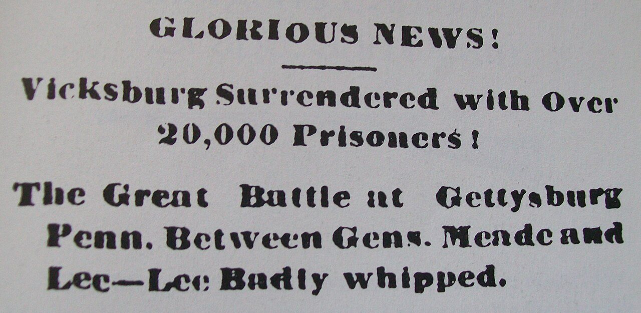
0 of 10 decades since 1900 have photos 🔁Retake an old viewCorydon Democrat headline, July 4…, 1863: stand where they stood+15 📦Share a family photoSign in to add one+10Famous people from Corydon
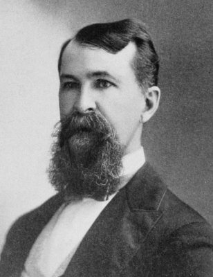
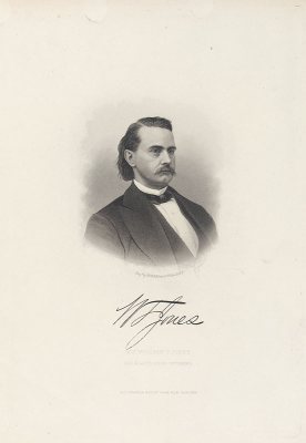
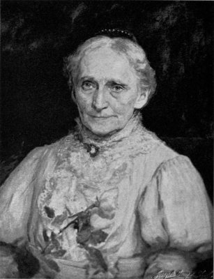
See all 9 →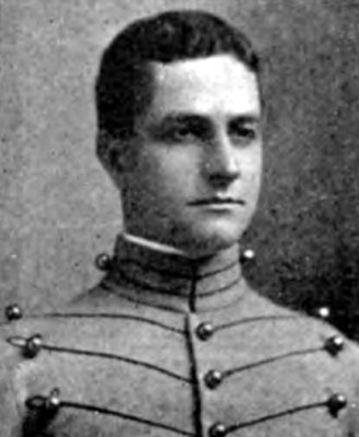
Corydon, decade by decade
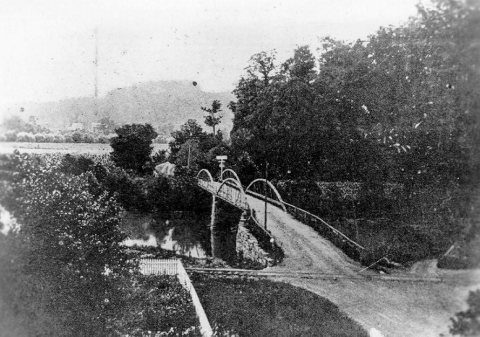
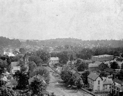
1990s
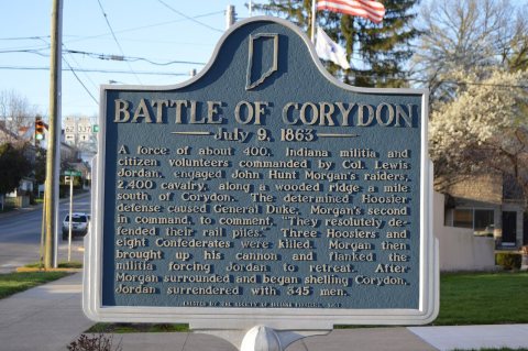 CommonsBattle of Corydon July 9, 1863 historical marker2016
 CommonsShelliYoder2013
 CommonsShelliYoder (3x4a)2013
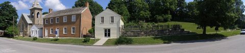 CommonsCorydon - hillside2012
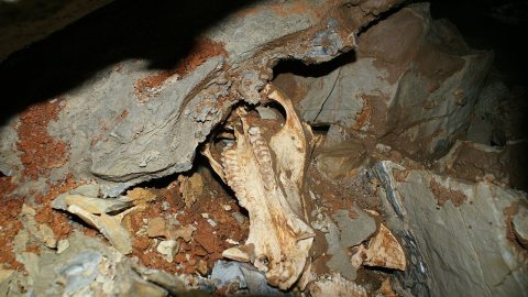 Commons3peccaryuperjaw??2012
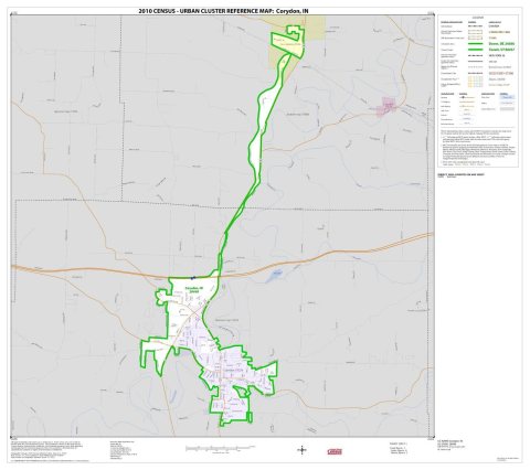 Book2010 Census Urban Cluster Reference Map for2010
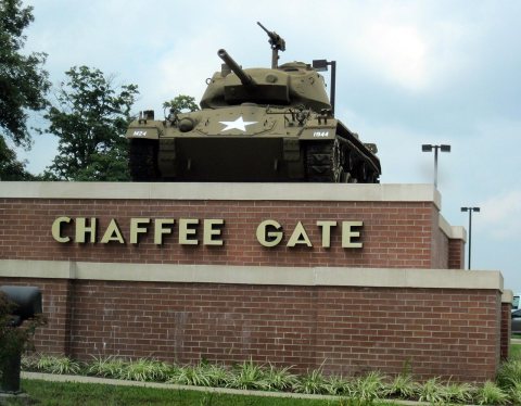 CommonsUS-IN - Corydon - North America - Road Trip - The South - K…2009
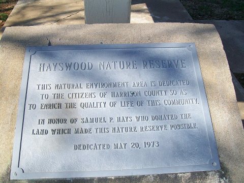 CommonsHayswood Nature Reserve dedication marker2009
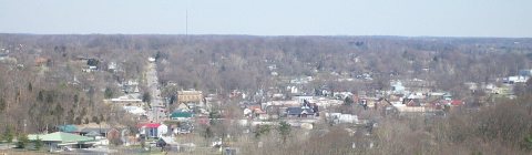 CommonsDowntown Corydon Indiana viewed from the Pilot Knob in the …2009
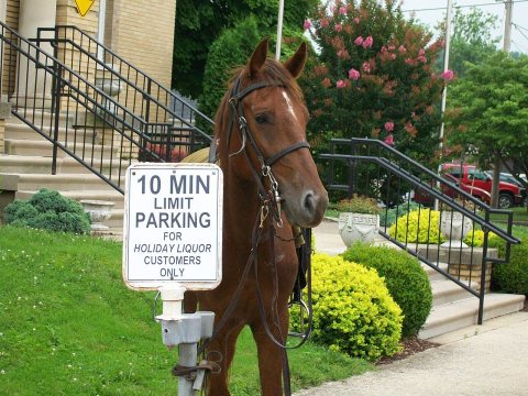 CommonsA horse tied to a 10 minute parking sign at the battle of C…2009
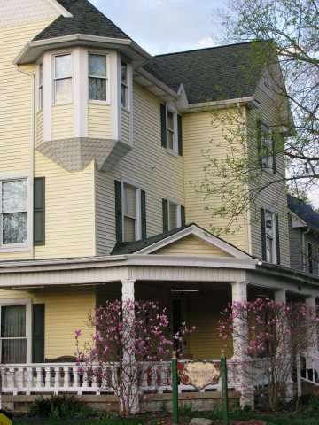 CommonsCorydon, Indiana2008
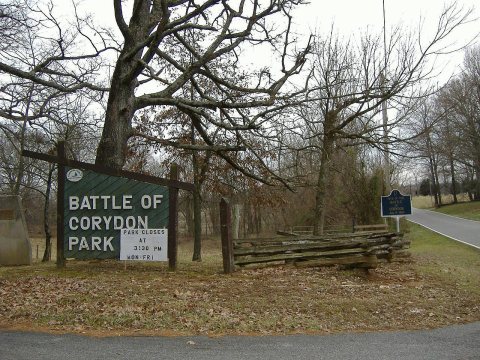 CommonsCorydon Battlefield entrance2007
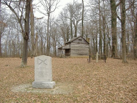 CommonsCorydon Battlefield cabin2007
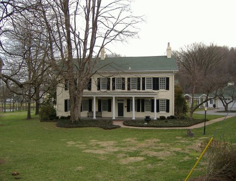 CommonsCedar Glade 12007
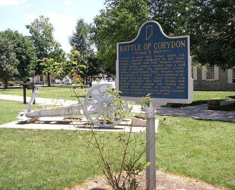 CommonsBattle of corydon marker2007
4 historic places in Corydon
Corydon has 4 listings on the National Register, and they protect 470 historic buildings, because Corydon Historic District alone counts 247.
Where they are
When they were listed
 Listed 1973Corydon Historic District
 Listed 1983Kintner-McGrain House
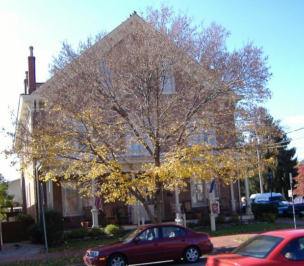 Listed 1987Kintner House HotelListed 1989Corydon Historic District (Boundary Increase)
Then & now
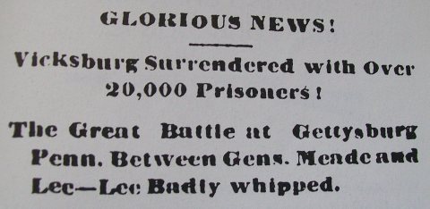
No then-and-now pairs yet. Take a photo from the same spot as Corydon Democrat headline, July 4 1862 (1863) and it appears here side by side.
🔁 Retake this view · +15Stories next door
nearby towns’ historyFrom Wikimedia Commons (18). Images are copied here with their credits and licenses, shown on each photo’s page. Refreshed monthly.