

A history of Bloomington,
since 1818
Postcards, papers and photographs of Bloomington from public archives, woven together by decade. Neighbors fill in the gaps.
The story
from WikipediaRead it all ↗The area in which Bloomington is situated was previously inhabited by the Delaware, Potawatomi, Miami, and Eel River Miami peoples.
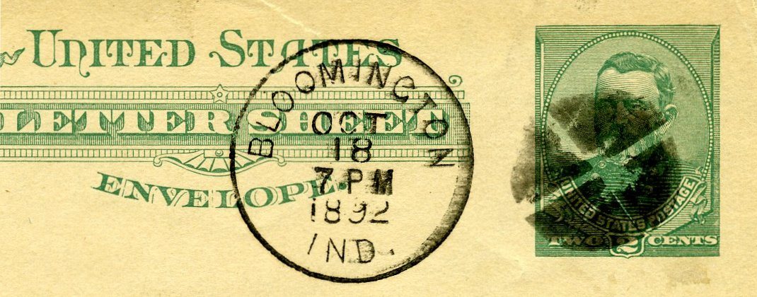
Bloomington was platted in 1818. A post office has been in operation at Bloomington since 1825. Bloomington was incorporated in 1827.
The current city logo was adopted on January 6, 1986, by the Bloomington Common Council. It was a combination of peony and trout lily, inspired by both quilt patterns used by regional folk artists in 19th century and the shape of Downtown Square.
The following locations and buildings are listed on the National Register of Historic Places:
Text from Wikipedia, licensed CC BY-SA 4.0.
Timeline
built from the dates on the items belowFinish Bloomington’s story
Most archives stop around 1920. The photos from after that are in family albums, not libraries.
2 of 10 decades since 1900 have photos 🔁Retake an old viewKillerObliterationCancel-Grant, 1886: stand where they stood+15 📦Share a family photoSign in to add one+10Famous people from Bloomington
See all 60 →





Bloomington, decade by decade
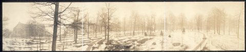


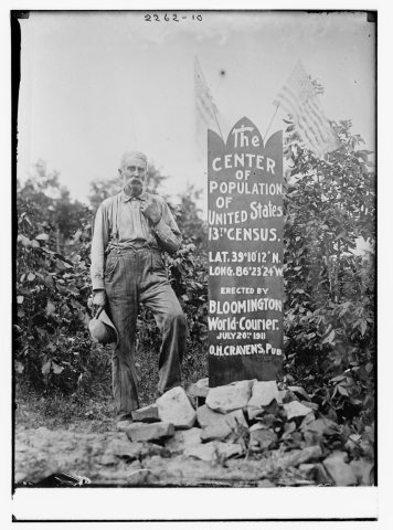

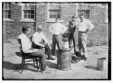
1990s
3 historic places in Bloomington
Bloomington has 3 listings on the National Register, and they protect 72 historic buildings, because Maple Grove Road Rural Historic District alone counts 69.
Where they are
When they were listed
 Listed 1973Daniel Stout House
 Listed 1998Maple Grove Road Rural Historic DistrictListed 2021Dr. Robert L. and Ellen Milisen House
Then & now
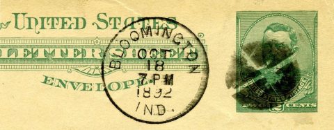
No then-and-now pairs yet. Take a photo from the same spot as KillerObliterationCancel-Grant (1886) and it appears here side by side.
🔁 Retake this view · +15Stories next door
nearby towns’ historyFrom Wikimedia Commons (4), the Library of Congress (4) and the National Register (3). Images are copied here with their credits and licenses, shown on each photo’s page. Refreshed monthly.