The story
from WikipediaRead it all ↗Much of Bethlehem's history was destroyed by the Ohio River flood of 1937. What is known is that prior to its formation, the land which would become Bethlehem was owned by Colonel John Armstrong, who had been the commander of Fort Finney (located in present-day Jeffersonville, Indiana). The first settlers arrived at the site in 1805 Armstrong and others, most notably Jonathon Clark and William Plaskett, platted the community in 1812. It was laid out in 124 lots in a rectangular manner. Armstrong named it after Bethlehem, Pennsylvania, where he was born.
Text from Wikipedia, licensed CC BY-SA 4.0.
Start Bethlehem’s collection
The first neighbors to add old photos shape how Bethlehem’s history is told.
0 of 10 decades since 1900 have photos 📦Share a family photoSign in to add one+10Bethlehem, decade by decade
2000
Then & now
When neighbors add old photos, retakes from the same spot appear here side by side.
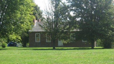
Historic places
National Register · via Wikidata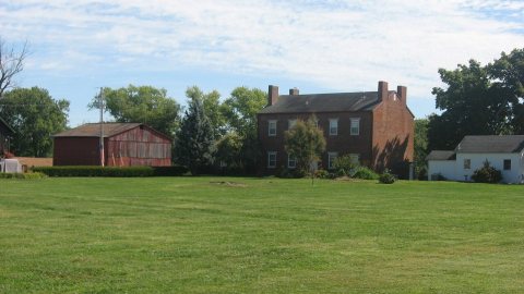
From Wikimedia Commons (1) and the National Register (1). Images are copied here with their credits and licenses, shown on each photo’s page. Refreshed monthly.