The story
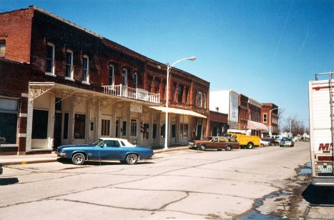
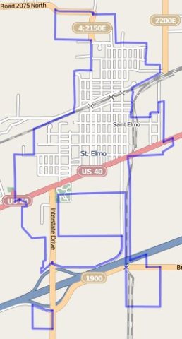
from WikipediaRead it all ↗A bill to fund the National Road was signed in 1806 by President Thomas Jefferson. The highway ran from Cumberland, Maryland west to the Mississippi River. The road was designed as a route for pioneers to settle the region. U.S. Route 40 follows the course of the National Road through the state of Illinois. A hamlet known as Howard's Point was established on the National Road at the current location. Later, the name was changed to St. Elmo when a north–south railroad was planned in 1882 to terminate at the settlement. By 1895, the planned railroad bypassed the town, but an east–west railroad was constructed that connected with Vandalia. The town constructed a rail link to the Chicago, Paducah and Memphis Railroad.
Text from Wikipedia, licensed CC BY-SA 4.0.
Start St. Elmo’s collection
The first neighbors to add old photos shape how St. Elmo’s history is told.
0 of 10 decades since 1900 have photos 📦Share a family photoSign in to add one+10St. Elmo, decade by decade
2000
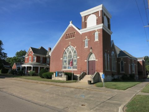
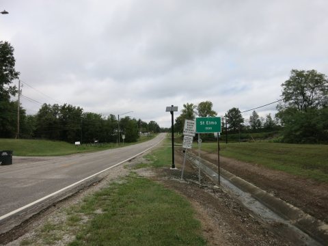
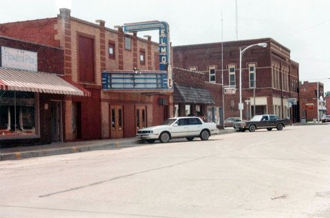
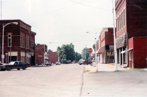
Nothing in St. Elmo is on the National Register yet
That’s true of most small towns. It doesn’t mean St. Elmo has no history, only that no one has written up a nomination. The closest listed place is Floyd and Glenora Dycus House in Brownstown, 5.7 miles away.
St. Elmo and the nearest listed places


How a place gets listed
Then & now
When neighbors add old photos, retakes from the same spot appear here side by side.
Stories next door
nearby towns’ historyFrom Wikimedia Commons (6) and the National Register (1). Images are copied here with their credits and licenses, shown on each photo’s page. Refreshed monthly.