The story
from WikipediaRead it all ↗Rock Falls was initially part of the Town of Sterling, created in 1838. In 1867, Augustus P. Smith purchased the rights to use the Rock River's hydroelectric power on the south bank, along with 65 acres of land on the river. Smith hired John Arey to survey the land, who soon platted the town in 1868. Rock Falls was incorporated into a village on January 26, 1869, and then incorporated into a city on April 16, 1889.
Text from Wikipedia, licensed CC BY-SA 4.0.
Start Rock Falls’s collection
The first neighbors to add old photos shape how Rock Falls’s history is told.
0 of 10 decades since 1900 have photos 📦Share a family photoSign in to add one+10Famous people from Rock Falls
See all 8 →

Rock Falls, decade by decade
2000
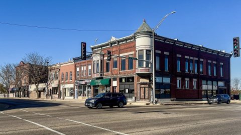



Then & now
When neighbors add old photos, retakes from the same spot appear here side by side.
Stories next door
nearby towns’ historyFrom Wikimedia Commons (4). Images are copied here with their credits and licenses, shown on each photo’s page. Refreshed monthly.