A history of Riverside,
since 1875
Postcards, papers and photographs of Riverside from public archives, woven together by decade. Neighbors fill in the gaps.
The story
from WikipediaRead it all ↗Riverside is arguably the first planned suburb (as opposed to a stand-alone community) in the United States, designed in 1869 by Calvert Vaux and Frederick Law Olmsted. The village was incorporated in 1875. The Riverside Landscape Architecture District, an area bounded by 26th Street, Harlem and Ogden avenues, the Des Plaines River, and Golf Road, was designated a National Historic Landmark in 1970.
Text from Wikipedia, licensed CC BY-SA 4.0.
Timeline
built from the dates on the items belowFinish Riverside’s story
Most archives stop around 1920. The photos from after that are in family albums, not libraries.
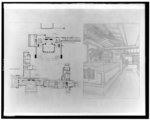
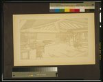
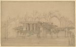
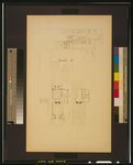
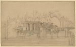
3 of 10 decades since 1900 have photos 🔁Retake an old viewWohnhaus für Herrn Coonley, 1910: stand where they stood+15 📦Share a family photoSign in to add one+10Famous people from Riverside
See all 15 →
Riverside, decade by decade
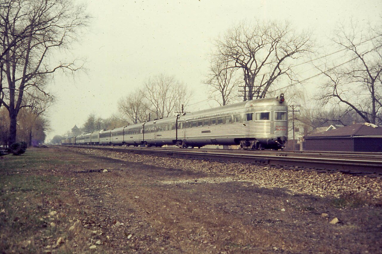
1950s
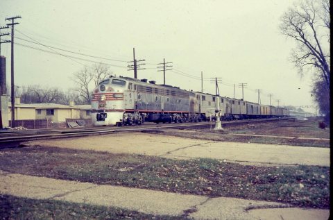
1990s
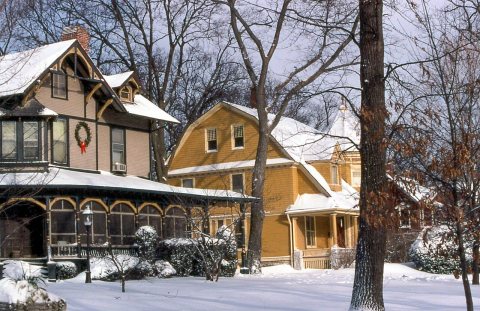 Commons19990103 04 Scottswood Rd2015
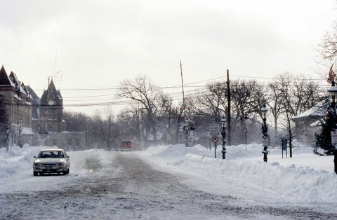 Commons19990103 02 Loncommon Rd2015
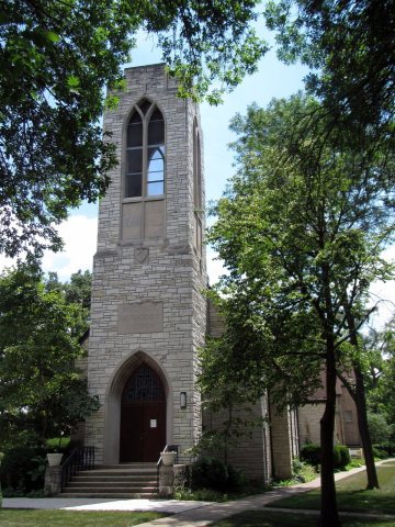 CommonsUnited Methodist Church - La Iglesia Metodista Unida2013
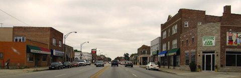 CommonsRiverside, Illinois2013
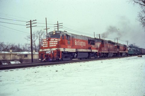 CommonsUntitled photo2013
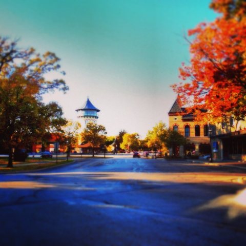 CommonsDowntown2012
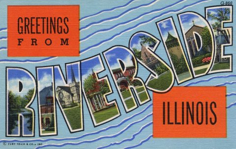 DocumentGreetings from Riverside, Illinois - Large Letter Postcard2012
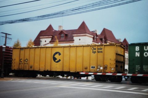
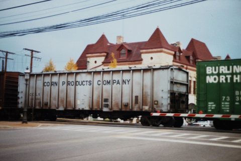
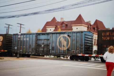 CommonsBoxcar, Great Northern2011
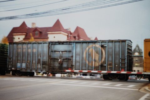 CommonsBoxcar, Great Northern2011
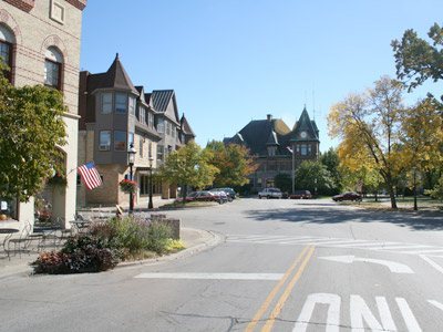 CommonsDowntown Riverside Illinois - 20072007
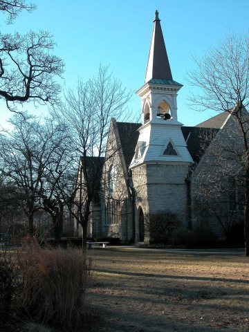 CommonsRiverside Presbyterian Church2003
Then & now
No then-and-now pairs yet. Take a photo from the same spot as Wohnhaus für Herrn Coonley (1910) and it appears here side by side.
🔁 Retake this view · +15Stories next door
nearby towns’ historyFrom Wikimedia Commons (16) and the Library of Congress (5). Images are copied here with their credits and licenses, shown on each photo’s page. Refreshed monthly.