The story
from WikipediaRead it all ↗Before 1837, the area was occupied by Native Americans who utilized it for hunting grounds; the Sioux tribe had a camp near Oneco. Game that populated the Orangeville area included buffalo and deer. John H. Curtis purchased the 80 acres (32 ha) of land, which included the area that would eventually become Orangeville, on January 1, 1838, at the United States General Land Office in Dixon. Curtis constructed a dam on Richland Creek, and on the creek's west bank erected a gristmill and a saw mill. Curtis died in 1843 and both mills stood idle until John Bower arrived in 1846, with his family, after having visited the area the year before. Bower purchased the 80 acres (32 ha) and the mills.
Text from Wikipedia, licensed CC BY-SA 4.0.
Start Orangeville’s collection
The first neighbors to add old photos shape how Orangeville’s history is told.
0 of 10 decades since 1900 have photos 📦Share a family photoSign in to add one+10Famous people from Orangeville
See all 2 →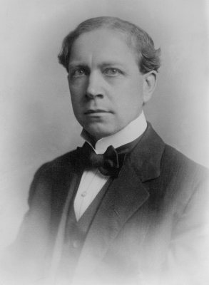
Orangeville, decade by decade
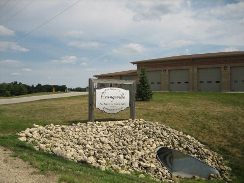
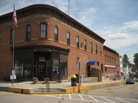
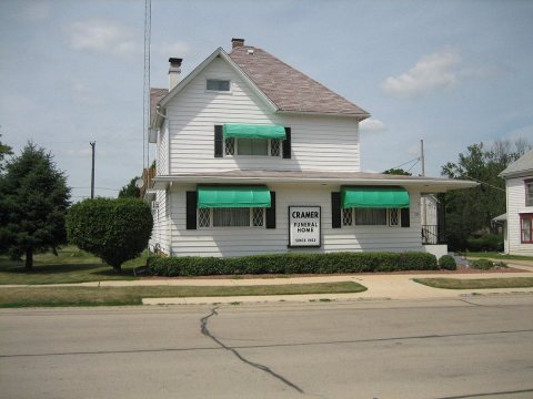
2000
4 historic places in Orangeville
4 places in Orangeville are on the National Register of Historic Places, the country’s official list of buildings and places worth saving.
Where they are
Architectural styles
When they were listed
 Listed 1999Central House
 Listed 2000Union House
 Listed 2003AF and AM Lodge 687, Orangeville
 Listed 2004People's State Bank
Then & now
When neighbors add old photos, retakes from the same spot appear here side by side.
From Wikimedia Commons (7) and the National Register (1). Images are copied here with their credits and licenses, shown on each photo’s page. Refreshed monthly.