Meredosia’s history is
mostly unwritten
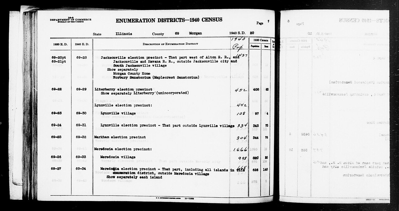
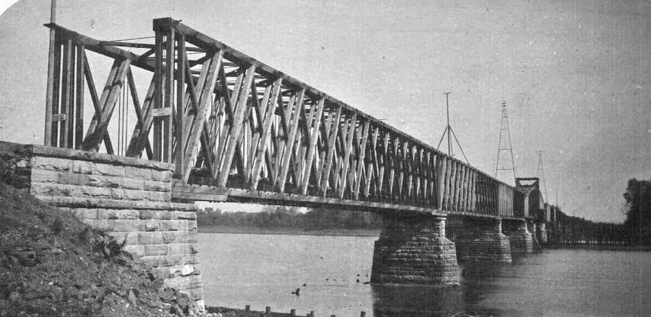
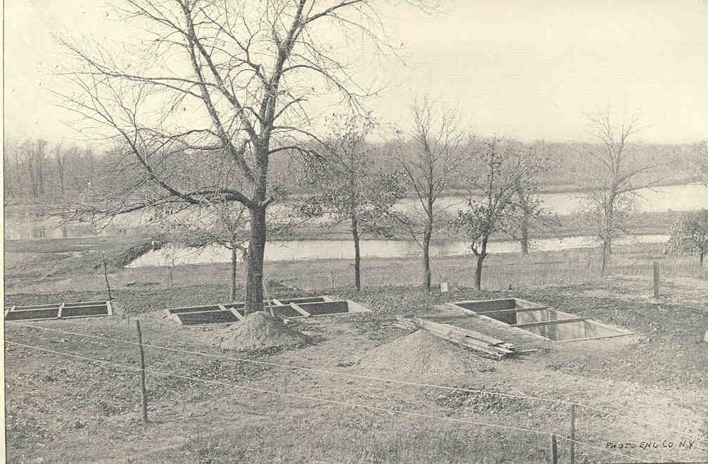
The public archives hold only 3 old photos of Meredosia. The rest are in attics, shoeboxes and the historical society. Help start the collection.
The story
from WikipediaRead it all ↗In 2011, Ameren Energy Resources Company announced the closure of its power station in Meredosia. The closure resulted in a loss of over 50 jobs, a major economic hit for the small community. The plant closure was related to the cost of meeting environmental regulations. The plant may reopen at some point as a facility to test clean coal technology, according to Ameren.
In June 2018 the community celebrated the opening of a new bridge over the Illinois River. The former bridge, constructed in 1936, had become too narrow for modern traffic, and was dismantled during the summer of 2018. The bridge not only links Meredosia to Quincy, Illinois, but serves as an important transportation link between western Illinois and the center of the state.
Text from Wikipedia, licensed CC BY-SA 4.0.
Timeline
built from the dates on the items belowStart Meredosia’s collection
The first neighbors to add old photos shape how Meredosia’s history is told.
0 of 10 decades since 1900 have photos 🔁Retake an old view1940 Census Enumeration District …, 1850: stand where they stood+15 📦Share a family photoSign in to add one+10Famous people from Meredosia
See all 1 →Meredosia, decade by decade
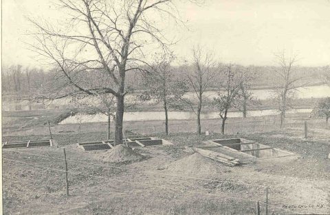
1990s
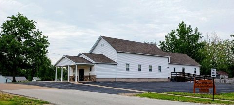
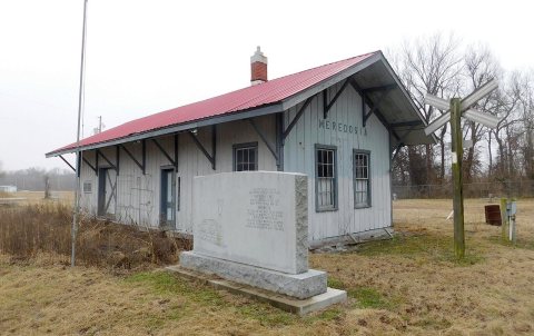
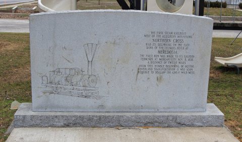
Nothing in Meredosia is on the National Register yet
That’s true of most small towns. It doesn’t mean Meredosia has no history, only that no one has written up a nomination. The closest listed place is La Grange Lock and Dam Historic District in Cooperstown, 7.8 miles away.
Meredosia and the nearest listed places


How a place gets listed
Then & now
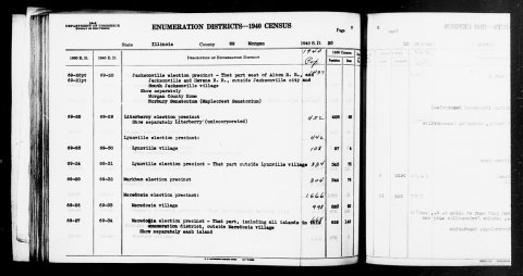
No then-and-now pairs yet. Take a photo from the same spot as 1940 Census Enumeration District Descriptions - Illinois - Morgan County - ED 69-28, ED 69-29, ED 69-30, ED 69-31, ED 6… (1850) and it appears here side by side.
🔁 Retake this view · +15Stories next door
nearby towns’ historyFrom Wikimedia Commons (6). Images are copied here with their credits and licenses, shown on each photo’s page. Refreshed monthly.