The story
from WikipediaRead it all ↗Glendale Heights was a small farming area served by the Glen Ellyn post office up until the 1950s, with a population of just 104 in 1959. Midland Enterprises, run by Charles and Harold Reskin, started building houses in Glendale Heights in 1958. The Reskins bought two farms on Glen Ellyn Road north of North Avenue. Houses were first built on Glen Ellyn Road and Larry Lane near Fullerton Avenue. On June 16, 1959, a petition was filed and on July 13, the village became incorporated. The first election was held later that summer on August 2.
Text from Wikipedia, licensed CC BY-SA 4.0.
Start Glendale Heights’s collection
The first neighbors to add old photos shape how Glendale Heights’s history is told.
0 of 10 decades since 1900 have photos 📦Share a family photoSign in to add one+10Famous people from Glendale Heights
See all 1 →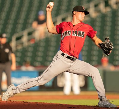
Glendale Heights, decade by decade
2000
Then & now
When neighbors add old photos, retakes from the same spot appear here side by side.
Stories next door
nearby towns’ historyFrom Wikimedia Commons (1). Images are copied here with their credits and licenses, shown on each photo’s page. Refreshed monthly.