The story
from WikipediaRead it all ↗The first group of settlers arrived to the area of Gillespie in the late 1820s from Kentucky, Ohio, and Indiana. The township thrived in the 1830s, increasing in population and businesses. In 1835 the first schoolhouse was built. Gillespie was incorporated as a town in the spring of 1853. By 1904, the population rose to 3,100 and there were a number of businesses, churches, and schools. On January 29, 1905, a fire swept through the business district and destroyed most businesses and some homes.
For years, Gillespie's main source of employment were the multiple coal mines scattered throughout the township operated by the Chicago & Northwestern Railway. It is said that Gillespie boasted three of the largest coal mines in the world.
Text from Wikipedia, licensed CC BY-SA 4.0.
Timeline
built from the dates on the items belowStart Gillespie’s collection
The first neighbors to add old photos shape how Gillespie’s history is told.
0 of 10 decades since 1900 have photos 🔁Retake an old view1950 Census Enumeration District …, 1880: stand where they stood+15 📦Share a family photoSign in to add one+10Famous people from Gillespie
See all 8 →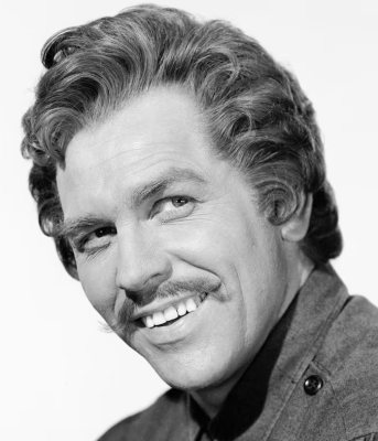


Gillespie, decade by decade
1990s
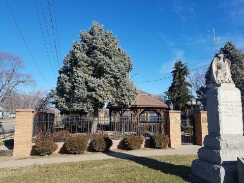
Nothing in Gillespie is on the National Register yet
That’s true of most small towns. It doesn’t mean Gillespie has no history, only that no one has written up a nomination. The closest listed place is Union Miners Cemetery in Mount Olive, 5.5 miles away.
Gillespie and the nearest listed places
Closest to Gillespie


How a place gets listed
Then & now
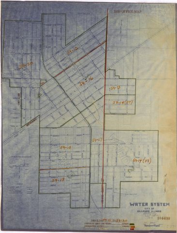
No then-and-now pairs yet. Take a photo from the same spot as 1950 Census Enumeration District Maps - Illinois (IL) - Macoupin County - Gillespie - ED 59-13 to 20 (1880) and it appears here side by side.
🔁 Retake this view · +15Stories next door
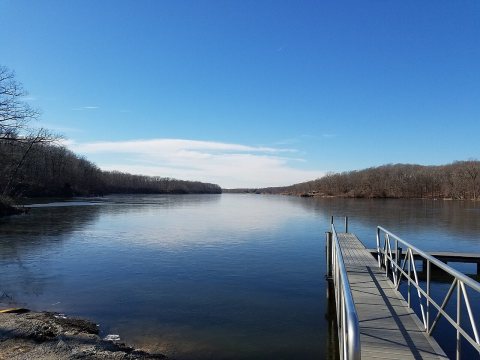
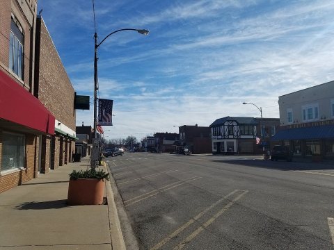
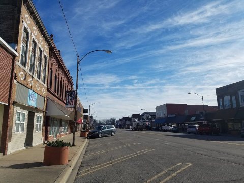
nearby towns’ historyFrom Wikimedia Commons (5). Images are copied here with their credits and licenses, shown on each photo’s page. Refreshed monthly.