A history of Frankfort,
since 1879
Postcards, papers and photographs of Frankfort from public archives, woven together by decade. Neighbors fill in the gaps.
The story
from WikipediaRead it all ↗First inhabited by Native Americans, including the Potawatomi and Sac and Fox tribes, Frankfort was used as a conduit between the Des Plaines and St. Joseph rivers. The area was part of the Virginia Territory until the French signed a treaty with Manitoqua, the Potawatomi chief, for land in the Prestwick area. The first pioneers came to Frankfort in the early 1830s by means of the Des Plaines River from the southwest and by wagon from the east along the Sauk Trail, a roadway that still exists.
Text from Wikipedia, licensed CC BY-SA 4.0.
Timeline
built from the dates on the items belowFinish Frankfort’s story
Most archives stop around 1920. The photos from after that are in family albums, not libraries.
1 of 10 decades since 1900 have photos 🔁Retake an old viewENTRANCE AND WINDOW DETAILS, SOUT…, 1933: stand where they stood+15 📦Share a family photoSign in to add one+10Famous people from Frankfort
See all 12 →



Frankfort, decade by decade
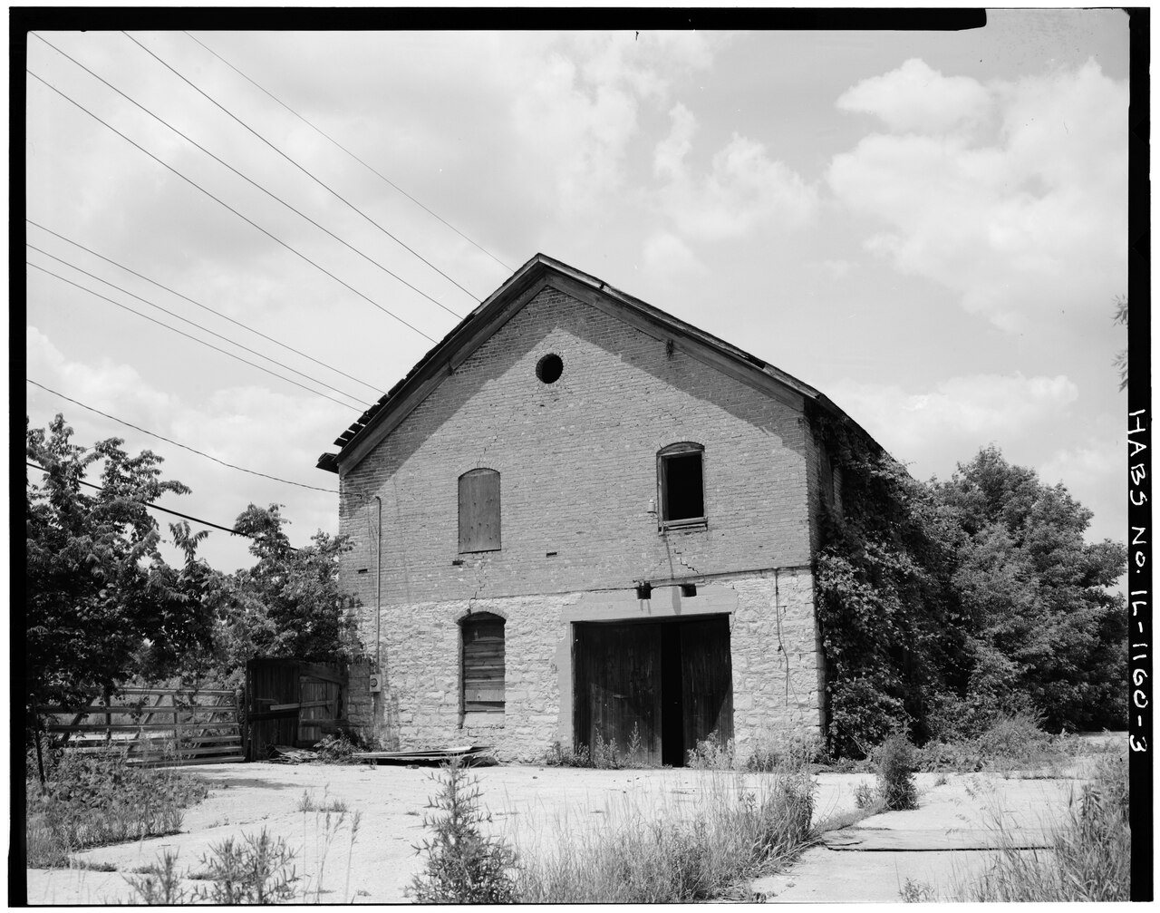
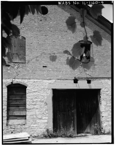 CommonsENTRANCE AND WINDOW DETAILS, SOUTH SIDE - Baumgartner Cream…1933
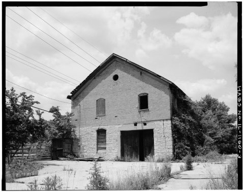 CommonsSOUTH SIDE - Baumgartner Creamery, U.S. Route 451933
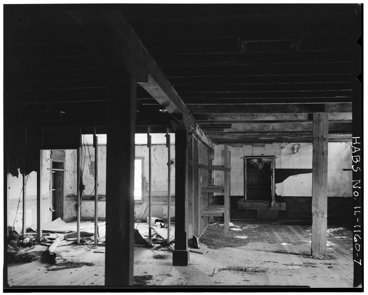
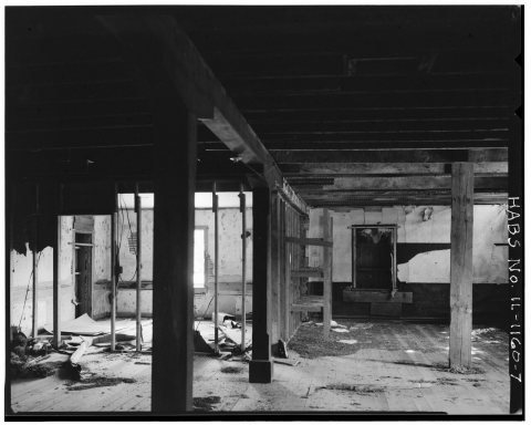 CommonsVIEW FROM NORTH, CENTRAL AREA, UPPER LEVEL - Baumgartner Cr…1933
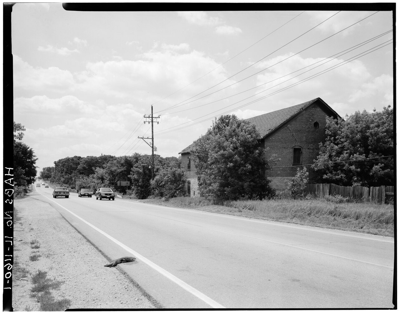
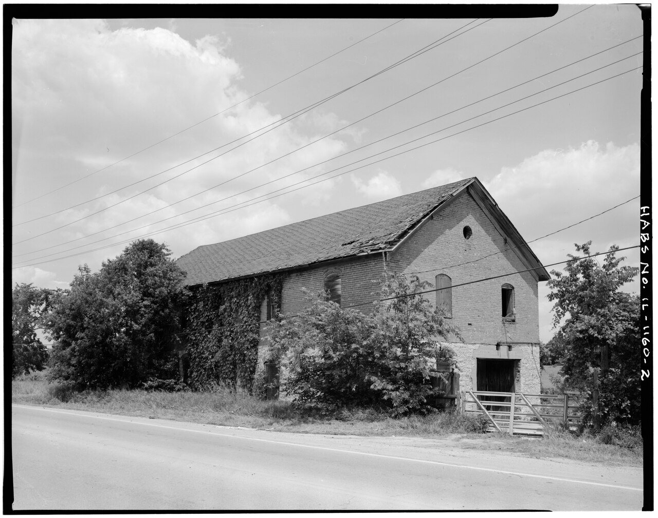
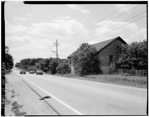 CommonsVIEW FROM NORTHWEST ACROSS U. S. ROUTE 45 - Baumgartner Cre…1933
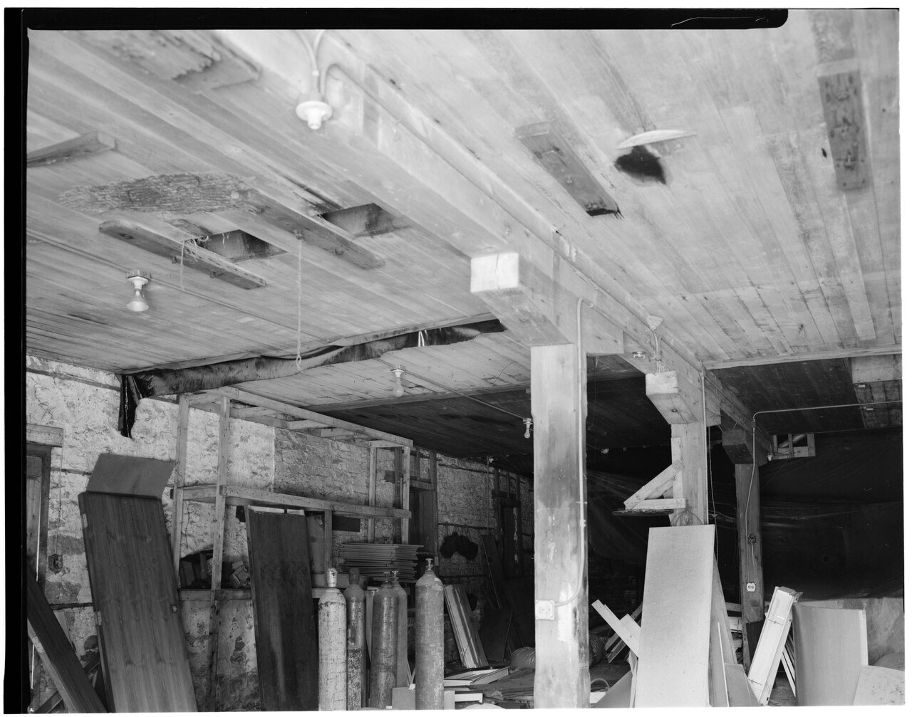
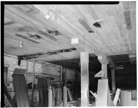 CommonsVIEW FROM SOUTHEAST ENTRANCE, LOWER LEVEL - Baumgartner Cre…1933
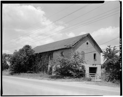 CommonsVIEW FROM SOUTHWEST - Baumgartner Creamery, U.S. Route 451933
1990s
Then & now
No then-and-now pairs yet. Take a photo from the same spot as ENTRANCE AND WINDOW DETAILS, SOUTH SIDE - Baumgartner Creamery, U.S. Route 45 (1933) and it appears here side by side.
🔁 Retake this view · +15Stories next door
nearby towns’ historyFrom Wikimedia Commons (6). Images are copied here with their credits and licenses, shown on each photo’s page. Refreshed monthly.