Evanston’s history is
mostly unwritten
The public archives hold only 3 old photos of Evanston. The rest are in attics, shoeboxes and the historical society. Help start the collection.
The story
from WikipediaRead it all ↗Prior to the 1830s, the area now occupied by Evanston was mainly uninhabited, consisting largely of wetlands and swampy forest. However, Potawatomi Native Americans used trails along higher lying ridges that ran in a general north–south direction through the area, and had at least some semi-permanent settlements along the trails.
Text from Wikipedia, licensed CC BY-SA 4.0.
Timeline
built from the dates on the items belowStart Evanston’s collection
The first neighbors to add old photos shape how Evanston’s history is told.
0 of 10 decades since 1900 have photos 🔁Retake an old view1940 Census Enumeration District …, 1880: stand where they stood+15 📦Share a family photoSign in to add one+10Evanston, decade by decade
1990s
Then & now
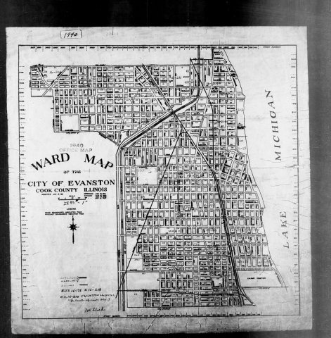
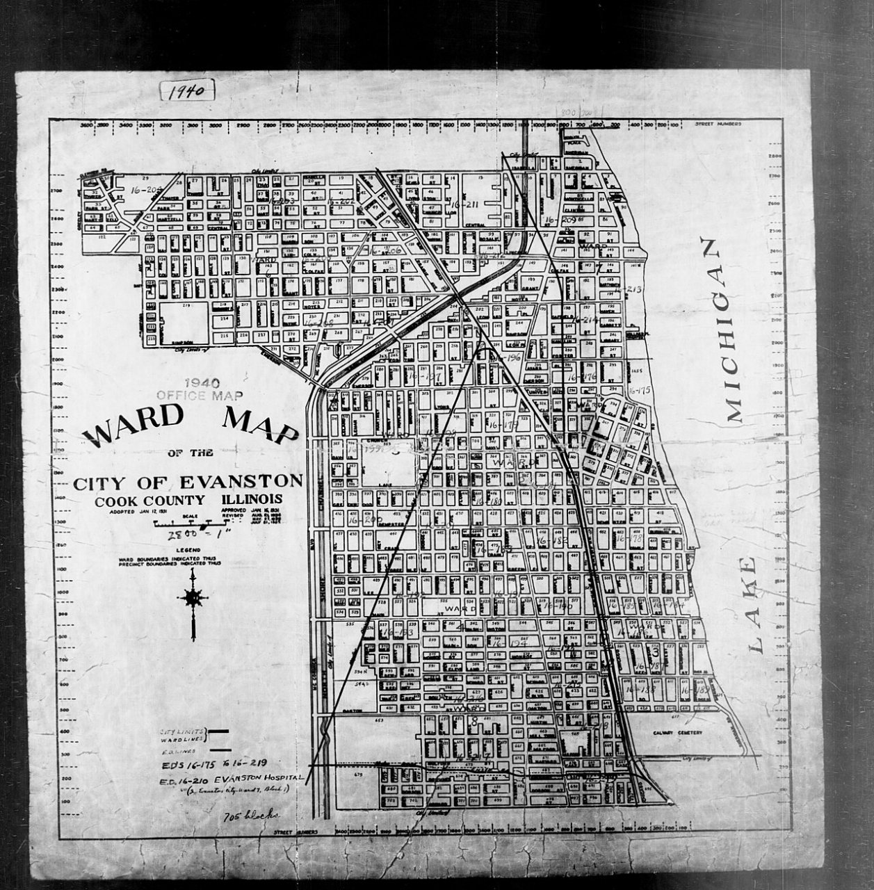
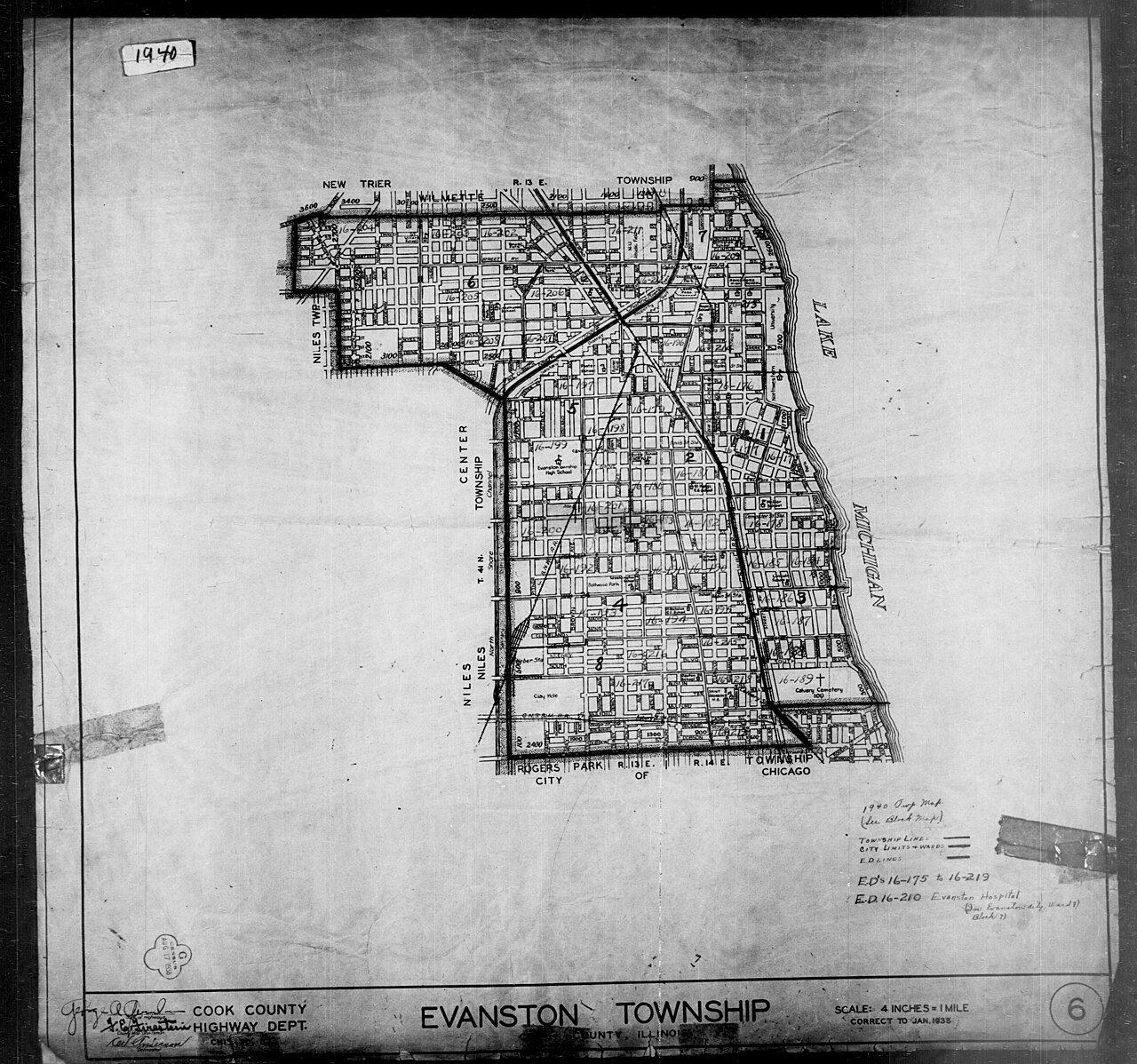
No then-and-now pairs yet. Take a photo from the same spot as 1940 Census Enumeration District Maps - Illinois - Cook County - Evanston - ED 16-175 - ED 16-219 (1880) and it appears here side by side.
🔁 Retake this view · +15Historic places
National Register · via Wikidata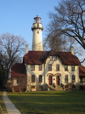
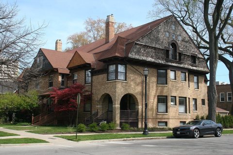
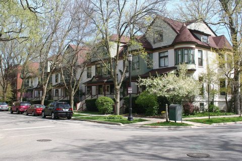
From Wikimedia Commons (3) and the National Register (3). Images are copied here with their credits and licenses, shown on each photo’s page. Refreshed monthly.