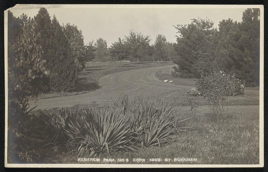
A history of Dwight,
since 1854
Postcards, papers and photographs of Dwight from public archives, woven together by decade. Neighbors fill in the gaps.
The story
from WikipediaRead it all ↗Dwight was laid out on January 30, 1854, by Richard Price Morgan Jr. (1828–1910), James C. Spencer (1828 – after 1890), and John Lathrop (1809 – 1870). Each of these three men took a quarter of the land. All were working as engineers for the Chicago and Mississippi Railroad. The final quarter was jointly owned by two Bloomington brothers, Jesse W. Fell (1808 – 1878) and Kersey H. Fell (1815 – 1893). All five men had links to the railroad which was to open from Bloomington to Joliet in 1854.
Text from Wikipedia, licensed CC BY-SA 4.0.
Timeline
built from the dates on the items belowFinish Dwight’s story
Most archives stop around 1920. The photos from after that are in family albums, not libraries.
2 of 10 decades since 1900 have photos 🔁Retake an old view1940 Census Enumeration District …, 1880: stand where they stood+15 📦Share a family photoSign in to add one+10Famous people from Dwight
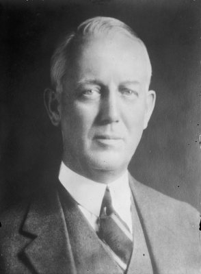
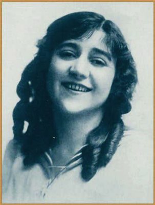
See all 6 →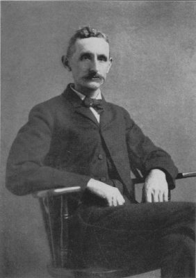
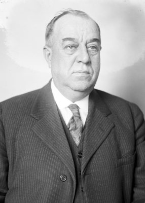
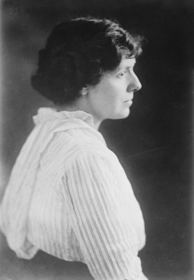
Dwight, decade by decade
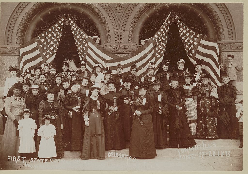
![First state convention, Women's Au[xilliary?] Keeley League of Ill's](https://images.towntapestry.org/story/4172/3f03737e9a88c0cd5baf-s.jpg)
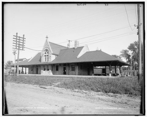
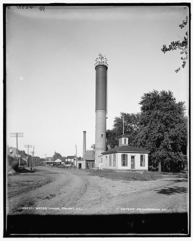
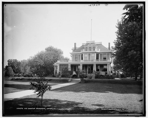
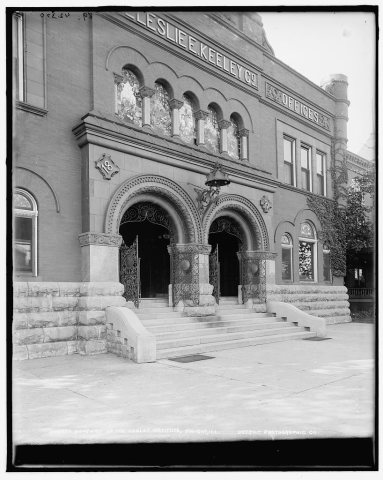
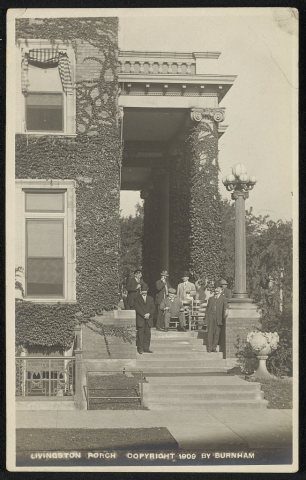
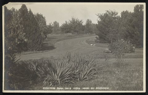
![Laboratory [The Leslie Keeley Co.]](https://images.towntapestry.org/story/4172/f5a366b91c7c6fc9ea45-s.jpg)
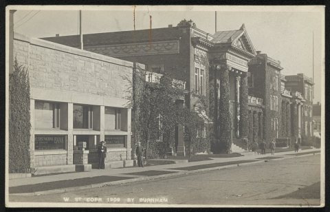
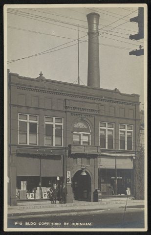
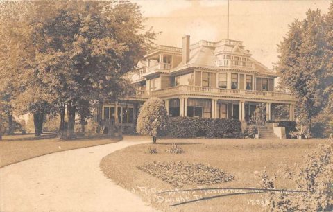
1990s
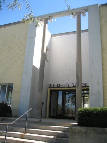
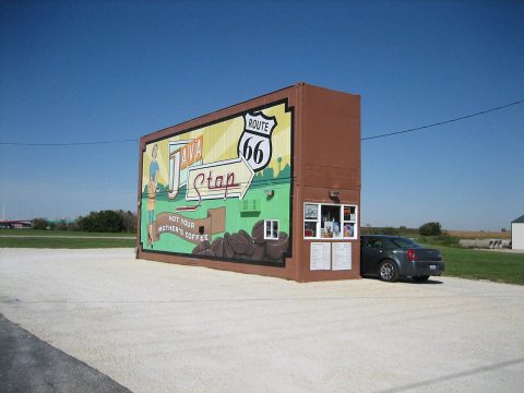
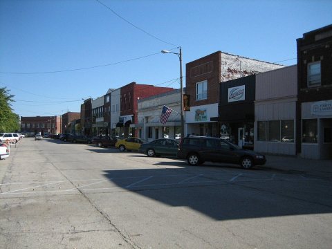
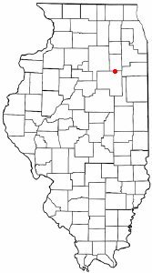
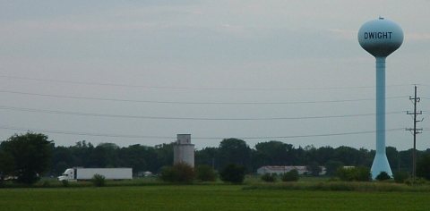
4 historic places in Dwight
4 places in Dwight are on the National Register of Historic Places, the country’s official list of buildings and places worth saving.
Where they are
When they were listed
Then & now
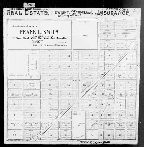
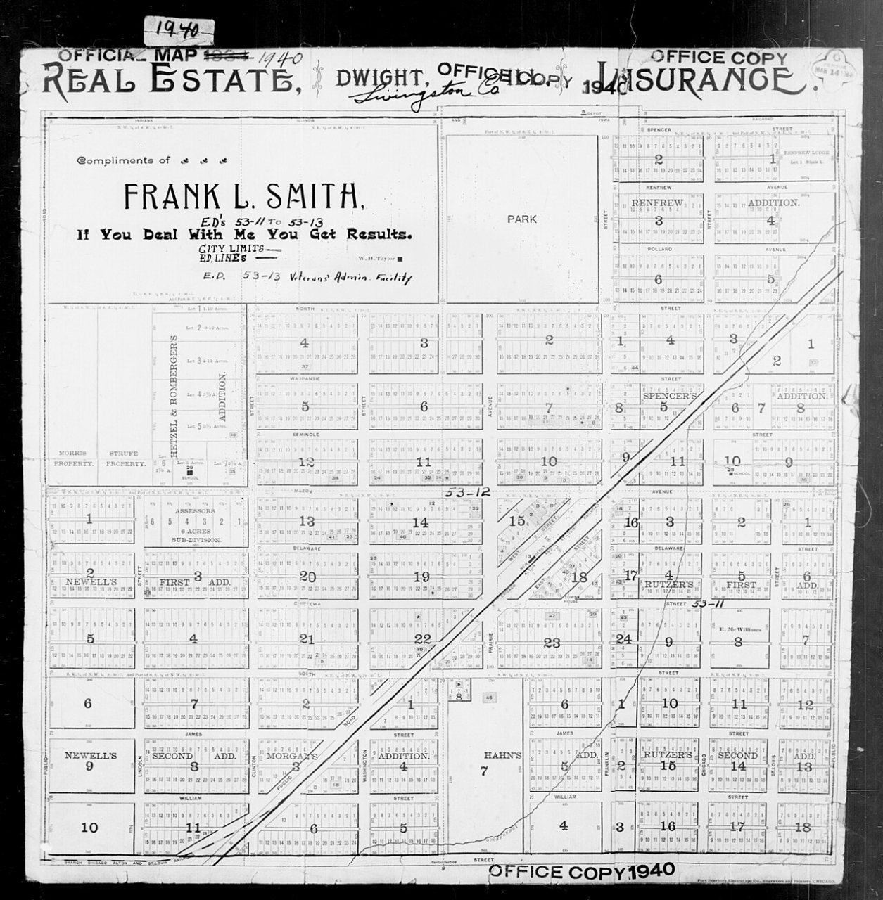
No then-and-now pairs yet. Take a photo from the same spot as 1940 Census Enumeration District Maps - Illinois - Livingston County - Dwight - ED 53-11, ED 53-12, ED 53-13 (1880) and it appears here side by side.
🔁 Retake this view · +15Stories next door
nearby towns’ historyFrom Wikimedia Commons (7), the Library of Congress (10) and the National Register (1). Images are copied here with their credits and licenses, shown on each photo’s page. Refreshed monthly.