A history of Danville,
since 1827
Postcards, papers and photographs of Danville from public archives, woven together by decade. Neighbors fill in the gaps.
The story
from WikipediaRead it all ↗The area that became Danville was once home to the Miami, Kickapoo, and Potawatomi tribes of Native Americans. Danville was founded in 1827 on 60 acres (240,000 m2) of land donated by Guy W. Smith and 20 acres (81,000 m2) donated by Dan W. Beckwith. The sale of lots was set for April 10, 1827, and advertised in newspapers in Indianapolis, Indiana and the state capital of Vandalia. The first post office was established in May of the same year in the house of Amos Williams, organizer of Vermilion and Edgar Counties and a prominent Danville citizen. Williams and Beckwith drew up the first plat map; the city was named after Dan Beckwith at Williams' suggestion, although Beckwith suggested the names "Williamsburg" and "Williamstown". Beckwith was born in Pennsylvania in 1795 and moved to Indiana as a young man; in 1819 he accompanied the first white explorers to the area where Danville later…
Text from Wikipedia, licensed CC BY-SA 4.0.
Timeline
built from the dates on the items belowFinish Danville’s story
Most archives stop around 1920. The photos from after that are in family albums, not libraries.
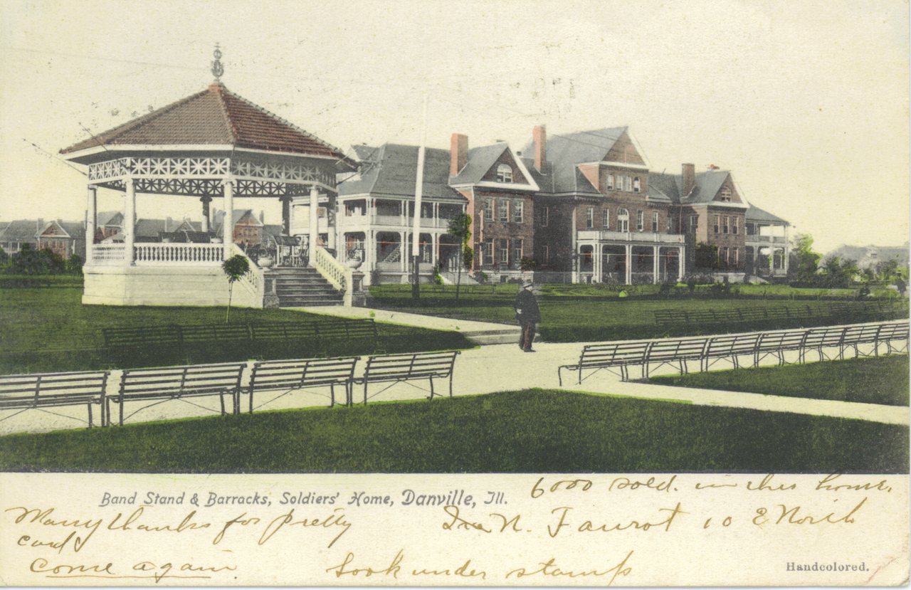
1 of 10 decades since 1900 have photos 🔁Retake an old viewPostcard showing Old Soldier's Ho…, c. 1907: stand where they stood+15 📦Share a family photoSign in to add one+10Danville, decade by decade
1990s
Then & now
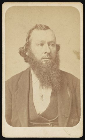
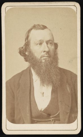
No then-and-now pairs yet. Take a photo from the same spot as Dr. Henry Dale, head-and-shoulders portrait, facing slightly right (1865) and it appears here side by side.
🔁 Retake this view · +15Historic places
National Register · via Wikidata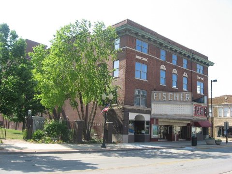
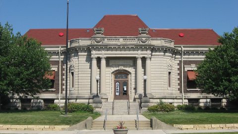
From Wikimedia Commons (5), the Library of Congress (5) and the National Register (2). Images are copied here with their credits and licenses, shown on each photo’s page. Refreshed monthly.