St. Anthony’s history is
mostly unwritten
The public archives hold just one old photo of St. Anthony. The rest are in attics, shoeboxes and the historical society. Help start the collection.
The story
from WikipediaRead it all ↗Previous to the foundation of St. Anthony, Major Andrew Henry established a short-lived fort a few miles west of where the city stands today. This post was last used in the Fall of 1811, but left a lasting mark on the area as Henry is the namesake for the Henrys Fork of the Snake River, which St. Anthony sits along.
The early history of the city is disputed, with some sources pointing toward St. Anthony being founded in 1888 by members of the Church of Jesus Christ of Latter-day Saints, while others point to it being established in 1890. About this same time, a bridge was built over the Henrys Fork where St. Anthony stands today. The city was named after Saint Anthony Falls in Minnesota.
Text from Wikipedia, licensed CC BY-SA 4.0.
Timeline
built from the dates on the items belowStart St. Anthony’s collection
The first neighbors to add old photos shape how St. Anthony’s history is told.
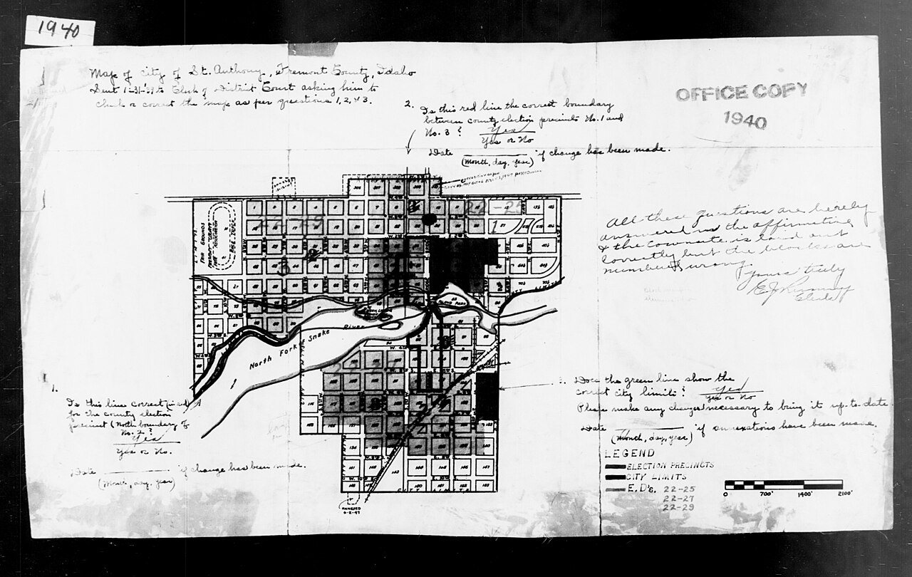
0 of 10 decades since 1900 have photos 🔁Retake an old view1940 Census Enumeration District …, 1880: stand where they stood+15 📦Share a family photoSign in to add one+10St. Anthony, decade by decade
1990s

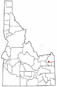
3 historic places in St. Anthony
3 places in St. Anthony are on the National Register of Historic Places, the country’s official list of buildings and places worth saving.
Where they are
When they were listed
 Listed 1979Fremont County Courthouse
 Listed 1989US Post Office-St. Anthony Main
 Listed 1997St. Anthony Pegram Truss Railroad Bridge
Then & now
No then-and-now pairs yet. Take a photo from the same spot as 1940 Census Enumeration District Maps - Idaho - Fremont County - St. Anthony - ED 22-25, ED 22-27, ED 22-29 (1880) and it appears here side by side.
🔁 Retake this view · +15Stories next door
nearby towns’ historyFrom Wikimedia Commons (3) and the National Register (2). Images are copied here with their credits and licenses, shown on each photo’s page. Refreshed monthly.